Summerland, California
Top Spots in and near Summerland
-
Ventura, California
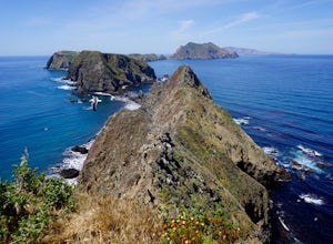
East Anacapa Island Loop
2.31 mi / 269 ft gainLeaving from either Ventura or Oxnard via Island Packers, this full-day hike is in the middle of the Santa Barbara Channel on a small island, about one hour from Los Angeles by car and one additional hour by boat. Without a beach on which to anchor, your boat will pull into Landing Cove and idle ...Read more -
Los Olivos, California
Backpack Zaca Ridge
5.07.32 mi / 2077 ft gainFrom Santa Ynez, CA take Armour Rd until it hits Happy Canyon Rd, and make a left. Follow this scenic drive through vineyards and oak shaded pastures into the Angeles National Forest. A half-mile section of asphalt is rough from winter storms, so drive slow. The road becomes Sunset Valley Rd and ...Read more -
Ventura, California
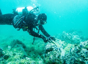
Dive East Fish Camp
The numerous kelp forests, sea caves, and coves of the Channel Island National Park, coupled with its unbelievable sealife makes for some of the best diving in the world. East Fish Camp off Anacapa Island is an excellent introduction to diving on the Channel Islands, with an average depth of 35'...Read more -
Los Olivos, California
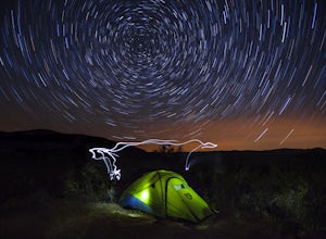
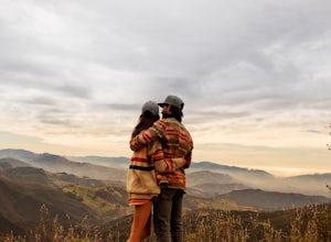
Dispersed Camp in Los Padres National Forest (near Davy Brown Campground)
7 mi / 2000 ft gainI was looking for a last minute adventure out of LA and found this epic view. Easy backpacking trip for one night, no permits needed, less than 3.5 hours from LA, and secluded. Go to REI and pick up your adventure pass for your car. Plug into your GPS "Davy Brown Campground" in Los Olivos / Los...Read more -
Gaviota, California
Nojoqui Falls
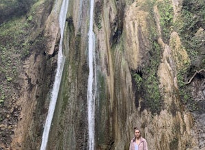
4.50.84 mi / 328 ft gainUnfortunately, the falls have been inaccessible for a while due to dangerous conditions from a mudslide. Contact the County of Santa Barbara Parks Division for more information. The falls are a great daytime getaway. Granted it's a quick, short hike, so you won't get the same workout or sweat go...Read more -
Solvang, California
Roam Ostrichland USA
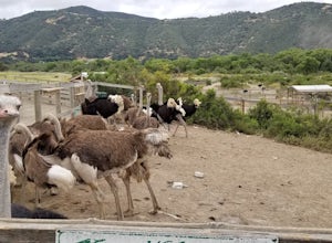
Enjoy meeting ostriches and emus alike! Located just outside of Solvang, near Santa Barbara, you get the chance to stroll through a farm and feed the ostriches and emus. Entrance is free, but there is a fee to feed them. There are scenic hills and flowers all around the farm. This is a great ...Read more -
Gaviota, California
Camp at Gaviota State Park
3.5About 30 miles north of Santa Barbara on the 101 is a small state beach in the 90 person town of Gaviota. Most people pass right on through to San Luis Obispo or don't even make it past Goleta, but this gem is worth checking out either for a day trip or to camp for the weekend.Since it is a state...Read more -
Gaviota, California
Gaviota Wind Caves
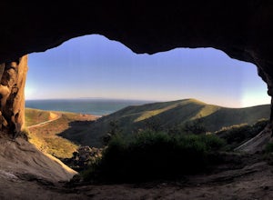
5.02.37 mi / 577 ft gainCaves and epic views...need I say more?! That's what you'll encounter on this short 2.5 mile out and back hike to the Gaviota Wind Caves in the San Ynez Mountains, West of Santa Barbara. The Gaviota Wind Caves are a sandstone formation located 1 mile from the Pacific Ocean. One good thing about t...Read more -
Malibu, California
Hike Point Mugu Peak
4.52 mi / 1250 ft gainPoint Mugu State Park offers some amazing rolling mountains, sweeping meadows of tall grass, and beautiful coastal views. I suggest going in the spring. I recently went, and the wildflowers were blooming everywhere. There are campgrounds available in different parts of the park that you can make ...Read more -
Malibu, California
Hike Mugu Peak Loop via Chumash Trail
5.06.5 mi / 1255 ft gainFrom the parking lot at the trailhead, follow the steep trail going up the mountain. This part is quite challenging, so I recommend stretching out your legs before starting the hike. Once you reach the top, you will see your first junction. Go right if you want to go straight for the peak, and th...Read more -
Frazier Park, California
Hike to Conder Observatory (Mt. Piños) from the Nordic Ski Hut
3.32 mi / 457 ft gainAny drive up the I-405N or I-5N is going to result in some pain: Either you leave early enough to avoid traffic, or you are sitting in some slowness for a while. But once you turn onto Frazier Mountain Road from the interstate, you are in a completely different world. It could be 85° in Los Angel...Read more -
Santa Barbara County, California
Beach Camp on Santa Rosa Island
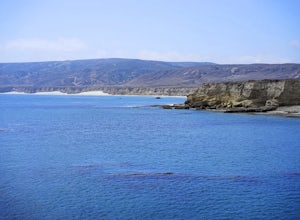
5.019.72 mi / 3097 ft gainChannel Islands National Park is California's least visited National Park. If you visit, you will see many unique plants and animals, including a rare native fox species, and Torrey Pines, only found here and in a small grove near San Diego. This adventure is not for the inexperienced. There is ...Read more -
Santa Barbara County, California
Water Canyon Campground
3.28 mi / 128 ft gainYou can get a wonderfully detailed description of what to expect from the Channel Islands/Santa Rosa Island and how to get there from fellow Explorer Michael Wigle's "Beach Camp on Santa Rosa Island" adventure (which I highly recommend you check out for the information and the photography, so I'm...Read more -
Santa Barbara County, California
Torrey Pines Trail
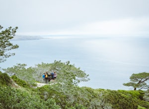
4.71 mi / 584 ft gainThe vast diversity of terrain of Santa Rosa Island in the Channel Islands National Park is matched in uniqueness only by its own flora and fauna, in particular the endangered and endemic Torrey Pine. The best way to view and experience these strange, broad trees is via the Torrey Pines Trail, whi...Read more -
Santa Barbara County, California
Lobo Canyon Trail via Santa Rosa Campground
12.03 mi / 984 ft gainThe National Park Service describes this hike in the following: "Strenuous. A spectacular canyon with wind- and water-sculpted sandstone cliffs, a year-round stream, riparian vegetation, and a spectacular coast at its mouth. Well worth the effort." I couldn't agree more with the last sentence...Read more -
Santa Barbara County, California
Black Mountain via Cherry Canyon Trail
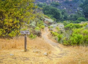
6.54 mi / 1329 ft gainWords fail in describing the beauty of the Channel Islands National Park and Santa Rosa Island, the second largest of the Channel Islands and perhaps the most diverse in terms of terrain, flora and fauna, and also the only to allow backcountry beach camping. While the opportunities for exploratio...Read more

