Sea Ranch, California
Looking for the best photography in Sea Ranch? We've got you covered with the top trails, trips, hiking, backpacking, camping and more around Sea Ranch. The detailed guides, photos, and reviews are all submitted by the Outbound community.
Top Photography Spots in and near Sea Ranch
-
Jenner, California
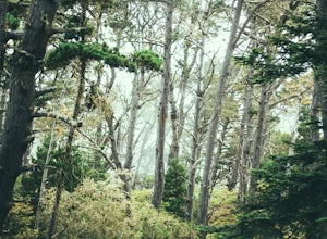
Hike the North Trail to the Pygmy Forest
4 mi / 800 ft gainSalt Point State Park, about 90 miles north of San Francisco, features rugged, windswept coastline and dramatic forests of cypress, pine and redwoods. The North trail is a great way to experience much of the inland portion of the park including the unique Pygmy Forest, named for the stunted trees...Read more -
Jenner, California
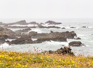
Hike the Salt Point Trail
3.73 mi / 100 ft gainThere are numerous points at which you can enter the trail from Highway 1, but on the north it begins as the Salt Point / Stump Beach Parking area and proceeds 1.2 miles to the Visitor Center (and south entrance) at the Gerstle Cove State Marine area, one of the first underwater state parks in Ca...Read more -
Jenner, California
Hike the Central Trail
3.6 mi / 800 ft gainSalt Point State Park, about 90 miles north of San Francisco, features rugged, windswept coastline and dramatic forests of cypress, pine and redwoods. The Central Trail is a great way to experience much of the inland portion of the park including a unique highland Prairie where elk graze and are ...Read more -
Point Arena, California
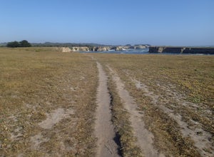
Hike Stornetta Public Lands
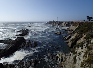
4.52.5 miAlong Point Arena Lighthouse Road there is an access trailhead to Stornetta Public Lands, which is part of the Bureau of Land Management system. There is a wonderful coastal trail that offers great views of the rugged coastline. From the trailhead, you will be walking south across an open field w...Read more -
Point Arena, California
Explore the Point Arena Lighthouse and Trail
5.00.5 miPoint Arena Lighthouse is situated on the piece of land that is the closest to the Hawaiian Islands from the continental United States. The lighthouse stands at 115 feet high and you are able to go to the top. I did not have time for this, unfortunately but definitely something I will take advant...Read more -
Point Arena, California
Explore the Point Arena Lighthouse
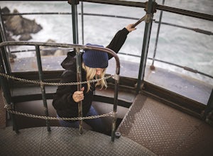
Go into the museum and gift shop first and have a look around at all the cool stuff they have from the lighthouse. Once you're done checking everything out in there, go make your way up the spiral staircase to the tippy top. You can stop just before the peak and go for a walk on the landing that ...Read more -
Jenner, California
Bouldering at Lamb's Rock, Sunset Boulders
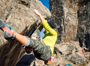
5.0Lamb Boulder, located within the "Sunset Boulders" collection, contains four fun and challenging V2 - V6 bouldering routes. They are: Calambity: V6Rock Scar: V3+Skullcracker: V2 RThe Specialist: V4 Lamb Boulder is located directly across from the Sunset Boulder itself and its trad routes. To get ...Read more -
Guerneville, California
Parson Jones and Colonial Armstrong Redwood Trees
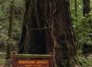
5.0The Parson Jones Tree is the tallest tree in the reserve, measuring more than 310 feet (94 m) in height. This is longer than the length of a football field! Named after a lumberman who chose to preserve this portion of the park in the 1870s, the Colonel Armstrong Tree is the oldest tree in the ...Read more -
Sonoma County, California
Red Hill and Pomo Canyon Loop
4.84.73 mi / 981 ft gainPark in the Shell Beach parking lot, north of Bodega Bay proper but just south of Goat Rock State Beach on Highway 1. Cross the road to pick up the Dr. David C. Joseph Memorial Trail heading up away from the ocean. Follow the trail, staying right toward Red Hill. (The trail forks off down Pomo Ca...Read more -
Sonoma County, California
Kortum Trail
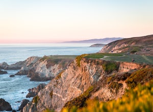
9.27 mi / 968 ft gainThe Kortum Trail in the Sonoma Coast State Park connects Goat Rock with Wrights Beach, winding along the top of the sea cliffs and affording incredible views of the California Coast and its numerous sea rocks and arches. To get there take the Pacific Coast Highway / Highway 1 to either Wright's...Read more -
Bodega Bay, California
Camp at Wright's Beach Campground
/ 32 ft gainThis campground is defined by the scenery: rugged headlands, craggy coastlines, natural arches, and quiet coves.Wright's Beach Campground features primitive camping - basic tent sites with picnic tables, fire rings, and amazing ocean views. This is a great location for Bay Area campers who want t...Read more -
Occidental, California
LandPaths Grove of Old Trees
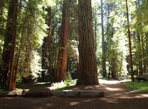
5.00.7 mi / 92 ft gainThe Grove of Old trees is a privately-owned preserve in Western Sonoma County that is open to the public year round. It is not large, only about 33 acres, but it makes a wonderful spot to go on a walk and to soak in the beauty of the redwoods. To get there from downtown Occidental, drive West up...Read more -
Bodega Bay, California
Bodega Head Nature Trail
4.71.67 mi / 121 ft gainSitting west of the San Andrea fault, the Bodega Head is a massive chunk of granite from the Salinian Block, a geological terrane that contains Point Reyes and the Farallon Islands, and shares its origins with the Sierra Nevada mountains, the Head itself having been carried hundreds of miles to t...Read more -
Ukiah, California
Hike Montgomery Woods State Nature Reserve Loop
4.52 mi / 150 ft gainThis is a great find. We saw it on the map it was on the way from Mendocino to our next stop, Napa Valley. So glad we took the time to visit. It is a small park with about a two mile loop hike in a valley floor loaded with huge redwoods and few people. The trail is very easy and starts along a sm...Read more -
Albion, California
Explore Navarro Beach
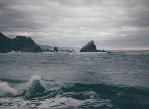
Northern California beaches are not your typical soft sand, warm water, grab a surf board type of spots. Of course when the weather is cooperating you can enjoy those activities as well! What makes this spot so special is how few people ever come and enjoy the raw beauty of this landscape. If you...Read more -
Kelseyville, California
Camp at Clear Lake State Park
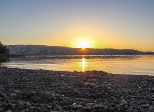
Clear Lake State Park is only two hours from downtown San Francisco and Sacramento. The state park offers amazing opportunities to photograph deer in the area and pick blackberries for breakfast on a morning stroll. On my visit I saw over 15 deer and one buck in full velvet. The sunrise and sunse...Read more

