Santa Ysabel, California
Looking for the best photography in Santa Ysabel? We've got you covered with the top trails, trips, hiking, backpacking, camping and more around Santa Ysabel. The detailed guides, photos, and reviews are all submitted by the Outbound community.
Top Photography Spots in and near Santa Ysabel
-
Del Mar, California
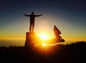
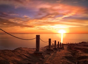
Sunset Seat in Del Mar
3.8In a place in our country where you can take an epic sunset picture nearly everyday, its hard say there is one location tin San Diego that is better than another. I'll let you in my new favorite secret spot to take amazing sunset pictures with a cool piece of art work at the location. Visit the t...Read more -
Mountain Center, California
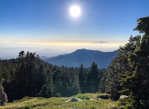
Mount San Jacinto via Devil's Slide
4.514.57 mi / 4475 ft gainMt. San Jacinto is the second tallest peak in Southern California at 10,834’. Although this route requires a fair amount of work, the effort is more than rewarded by the expansive views, forest, meadows, and dramatic topography. You will need an Adventure Pass ($5/day) to park at Humber Park, as...Read more -
Mountain Center, California
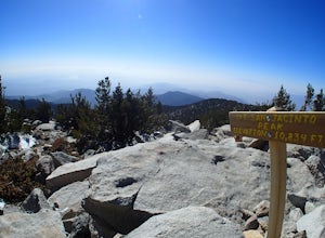
Tahquitz Peak via Devils Slide Trail
5.08.31 mi / 2238 ft gainTahquitz Peak via Devils Slide Trail is a moderately trafficked 8+ mile out and back trail located near Idyllwild, California. This trail is one of the most popular hikes in the San Jacinto area that features a fire lookout tower at the peak and amazing views of the valley below. At an elevation...Read more -
Palm Springs, California
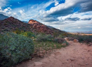
Seven Falls via Murray Canyon Trail
4.01 mi / 587 ft gainA very scenic 4-mile round trip with a rewarding waterfall after a 2.5-mile hike/stroll. Lucky visitors may catch a glimpse of the Peninsula Big Horn Sheep (an endangered species), mule deer or other wild animals still roaming the high ground above the canyon. Less visited, Murray Canyon has its ...Read more -
Palm Springs, California
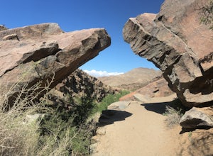
Andreas Canyon
5.01.03 mi / 154 ft gainAndreas Canyon in Indian Canyons is located very close to Palm Springs in the Agua Caliente band of Cahuilla Indians Reservation. It is one of the few places with abundant shade and running fresh water in an otherwise dry desert landscape. Enjoy a longer hike to a waterfall (Seven Falls) or stay ...Read more -
San Diego, California
Torrey Pines Beach Trail Loop
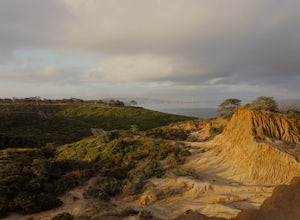
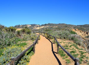
4.72.15 mi / 374 ft gainThe beach trail brings you from the parking lot across the lodge from the bluff down to the beach. You can choose to visit the Red Butte, the Razor Point, and the Yucca Point trails along the way. Of the other trails, this trail seems to provide a complete walkthrough of geological features; it a...Read more -
San Diego, California
Razor Point, Beach Trail, & Broken Hill Trail Loop
5.03.21 mi / 440 ft gainThe parking area for all of Torrey Pines State Natural Reserve is located right off North Torrey Pines Road (where the location is for this hike), about 20-30 minutes north of San Diego. It's $10 to park, and there was also a smaller parking lot at the top of the hill if you want to avoid the ini...Read more -
San Diego, California
Guy Fleming Trail
5.00.76 mi / 95 ft gainThis trail is located in Torrey Pines State Natural Reserve, a beautiful area about 20-30 minutes north of San Diego. To access the reserve, park in the lot off of North Torrey Pines Road (pay $10 to park). If you don't want to walk up the huge hill at the beginning (it is steep and long), I beli...Read more -
Chula Vista, California
Hike Mother Miguel Mountain
5.04.5 mi / 977 ft gainAt the summit, your work will be rewarded with stunning views from downtown San Diego all the way to Mexico. You can also see the surrounding mountain peaks and the Sweetwater Reservoir. This is a great hike to do at sunset - but bring a headlamp / flashlight for the hike back down. This trail i...Read more -
San Diego, California
Black's Beach via the Gliderport
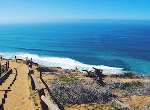
4.30.7 mi / 269 ft gainPark at the Torrey Pines Gliderport, which is conveniently empty before sunrise. The hike down to Black's Beach features a steep hike down a winding path of natural and manmade steps along the cliff face, but stay left and cruise the bluff for endless opportunities to observe, reflect and explor...Read more -
San Diego, California
Torrey Pines Gliderport
4.5Park at the Torrey Pines Gliderport and walk to the railing over the cliffs. From there you can see north to Black's Beach and the Torrey Pines golf course. To the south you can see La Jolla Shores and La Jolla cove. Walk the path down to Black's Beach if you want some exercise. There is food and...Read more -
Riverside County, California
San Jacinto Peak via Marion Mountain Trailhead
11.25 mi / 4505 ft gainSan Jacinto Peak is the second highest peak in Southern California which sits at 10,833'. There are several trails to summit San Jacinto, but Marion Mountain is the shortest but also a tough one. You will start the hike at an elevation of 6300' and continuously climb 4500' in less than 6 miles. ...Read more -
San Diego County, California
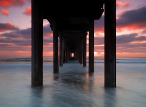
Photograph Scripp's Pier
4.9Parking is easy, there are tons of random street you can park on just a little walk away. Be sure to arrive on scene at least an hour before sunset. Make sure to look up the sunset time and the weather forecast. Clouds will make for the most dramatic images with the most color from the sunset. Ex...Read more -
Campo, California
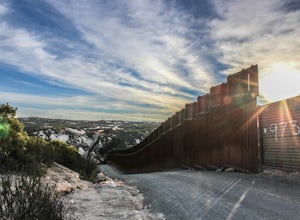
Photograph the Mexican Border on the PCT Southern Terminus
4.5From San Diego head East on Hwy 8 for roughly 60 miles to Buckman Springs Road (Exit 51). Take a right on Buckman Springs road an drive South for 10 miles. Turn right on CA-94 W (Campo Rd) and drive for 1.5 miles. After crossing the railroad tracks turn left on Forrest Gate Road. Take this road f...Read more -
Oceanside, California
Bike or Skate the Strand
4.01 mi / 0 ft gainOceanside's iconic Strand is a 1 mile long ocean-front road that is perfect for cycling, walking, and running. At various points it is one way or pedestrian only, and is a must-do for any visitors to Oceanside.From the north The Strand begins at Breakwater Way and heads south underneath The Ocean...Read more -
Oceanside, California
Catch a Sunset at Oceanside Pier
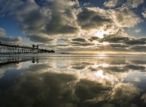
4.8Both sides of the pier are awesome to shoot but depending on the time of the year/sun position one might be better than the other. Super mellow beach to chill out at and watch the sunset. You can get some awesome reflections in the tide. Keep an eye on your gear as there can be sketchy crackheads...Read more

