Santa Clarita, California
Looking for the best hiking in Santa Clarita? We've got you covered with the top trails, trips, hiking, backpacking, camping and more around Santa Clarita. The detailed guides, photos, and reviews are all submitted by the Outbound community.
Top Hiking Spots in and near Santa Clarita
-
Pearblossom, California
Camp at Horse Flats Campground
3.0The Horse Flats Campground is located 29 miles up Highway 2 from Interstate 210. You will turn left at the Santa Clara Divide Road(this intersection is also known as 3 Points). 3 miles down the road you will turn left to enter the campground. I have camped here a few times and its always been pre...Read more -
Palmdale, California
Hike to Vetter Mountain and the Fire Lookout Tower
2.8 mi / 550 ft gainIf you're looking for an easy mountain to hike, and perhaps give the kids something interesting to learn about at the top, then Vetter Mountain may fit the bill. At 5,908', and with a trailhead at about 5,350', this 1.4 mile (one way) hike only climbs about 550' vertical. The trailhead is loca...Read more -
Malibu, California
Point Dume
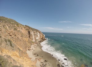
4.80.95 mi / 141 ft gainFrom the parking lot, make your way towards Point Dume. You will find the entrance to the trail at the end of the lot. The trail is a bit sandy, but fairly easy. Be careful of the cactus plants along the trail! Make your way up towards the cliff and you'll notice ropes hanging on the edge. Don't...Read more -
Malibu, California
Paradise Cove via Point Dume
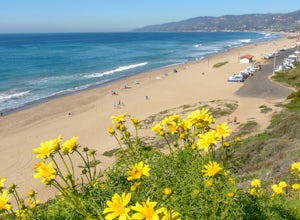
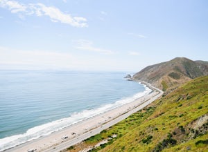
5.04.74 mi / 338 ft gainYou will start your beach-hiking to Paradise Cove from Point Dume which is located 20 miles north of Santa Monica on Pacific Coast Highway (PCH). On PCH, take left on Westward Beach Road and follow it to the end. Try to park as close to the end of the paid parking lot. You can use the automated m...Read more -
Santa Paula, California
Santa Paula Punch Bowls
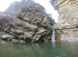
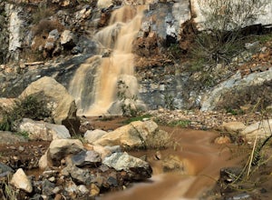
3.66.5 mi / 1037 ft gainThis is a 6.5 mile trail, out and back. Parking is available along Ojai St, and the trail starts at the entrance of Thomas Aquinas College. Follow the paved road that goes around the school, until you reach a fork on the road, then stay right. The trail will take you through Ferndale Ranch, just ...Read more -
Arcadia, California
Sturtevant Falls
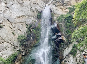
4.61.61 mi / 423 ft gainThis trail is currently closed. Visit the Forest Service website for updates. As you head down to Roberts Camp, a historic set of historic cabins, you’ll head out on a steep, paved road for approximately 0.6 miles. Once you reach the camp, head over the bridge and keep an eye out for the sign f...Read more -
Arcadia, California
Mt. Wilson Loop from Chantry Flat
5.012.74 mi / 4852 ft gainMt. Wilson is one of the more difficult mountains in the San Gabriel to hike, making this adventure Intermediate. While 5,700 feet doesn't seem that tall, the mountain has a prominence of almost 5,300 feet, meaning that hike is steeper and longer than some of the other popular mountains that star...Read more -
Arcadia, California
Hermit Falls Trail
4.82.49 mi / 1014 ft gainNote: Hermit Falls is Temporarily Closed From Roberts Camp, many hikers will head to Sturtevant Falls, which is an amazing 60-foot waterfall. But, if you choose to head in the opposite direction on First Water Trail, you’ll be rewarded with a fresh water swimming hole at this 35-foot tumbling wa...Read more -
Malibu, California
Leo Carillo State Beach
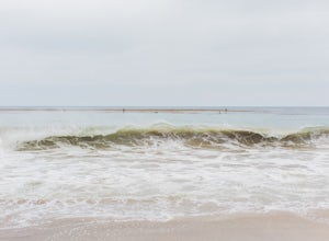
4.5Leo Carrillo State Park has 1.5 miles of two sandy beach areas, tide pools, and numerous coves and sea caves. This year-round paradise offers privacy and ocean access for anglers, divers, surfers, wildlife watchers, beachcombers, and campers. If you're headed here for day-use, there are also tide...Read more -
Malibu, California
Scenic Trail
4.01.53 mi / 322 ft gainThe trailhead is located in the day use area of Point Mugu State Park. Park in the day use area parking lot. There is a parking fee of $12/day or $3/hr. From the parking lot, walk through the campground until you reach the old service road. After passing through the gate, turn left at the si...Read more -
Pearblossom, California
Cooper Canyon Trail Camp
5.37 mi / 1214 ft gainThere's a small parking lot just below Cloudburst Summit on the way to Mount Waterman. Start your adventure there. I'd be hard-pressed to say it's more than 15 yards from the sign for the summit (7018' AMSL). There's a fire road, if you're newer to altitude and don't know how to read a map (or e...Read more -
Monrovia, California
Monrovia Falls
3.71.46 mi / 459 ft gainMonrovia Falls is closed indefinitely due to the Bobcat Fire and mudslides. Read more on the CityofMonrovia.org website. The Monrovia Falls are at the end of the main trail located in Monrovia Canyon Park. The park is easy to locate and has ample parking. Keep in mind you do have to pay a fee of...Read more -
Malibu, California
La Jolla Valley Walk-In Camps
5.010.58 mi / 2146 ft gainHello Friends! I just took a really chill overnight backpacking trip to the La Jolla Valley Backcountry campsite and I’m going to give you some details so you can have as nice of an outing as I did! The trailhead is conveniently just off of the Pacific Coast Highway, across the street from the T...Read more -
Malibu, California
La Jolla Canyon Falls
1.75 mi / 449 ft gain...I think out of all the State Parks in the Santa Monica Mountains, Point Mugu State Park is without a doubt the best one. Maybe it has something to do with its proximity to the beach, or the endless trails and epic views, but the energy and diversity here is just so much more wild. With the par...Read more -
Malibu, California
Camp at Point Mugu State Park's Thornhill Broome Campground
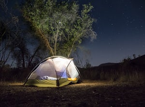
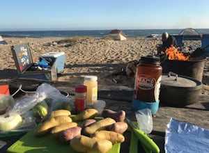
5.0Beach camping in California seems elusive these days, but we were able to pitch our tent just feet from the surf! We stayed for two nights and felt like we had our own private stretch of beach. First, you'll want to make reservations at www.reserveamerica.com. It was fairly easy to reserve a spot...Read more -
Pearblossom, California
Mt. Waterman
5.05.87 mi / 1499 ft gainMt. Waterman is accessed along Highway 2 in the Angeles National Forest. Heading east from La Canada look for mileage marker 58.0 (34 miles from La Canada) just past the closed ski resort. Park at one of the large paved turnouts on your left. Display an Adventure Pass ($5 at Ranger Station or Big...Read more


