Santa Clara County, California
Looking for the best photography in Santa Clara County? We've got you covered with the top trails, trips, hiking, backpacking, camping and more around Santa Clara County. The detailed guides, photos, and reviews are all submitted by the Outbound community.
Top Photography Spots in and near Santa Clara County
-
San Francisco, California
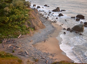
Mile Rock Beach
4.71.64 miThis rocky, secluded beach is tucked in along the Land’s End Coastal Trail in the Golden Gate National Recreation Area. Located 100 or so steps down from the main trail, you’ll find this mysterious little beach that will make you feel like you’re in an old pirate movie. There are a lot of logs an...Read more -
Mount Hamilton, California
Stargaze at Lick Observatory
3.8Hop on Road 130 heading out of San Jose and follow the winding two lane road up, up, up to to the top of Mt. Hamilton and the Lick Observatory. There are lots of deer, wild turkey, and pigs in the area. If you are lucky you will get to see a herd of deer grazing in a meadow. But be careful that y...Read more -
San Francisco, California
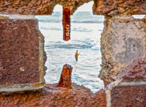
Sutro Baths Ruins
4.5Whether you simply look down on the ruins from the [conveniently located] parking lot above, or choose to walk down the stairs and explore, you will be greeted with stunning views of the Baths, and the Pacific Ocean stretching infinitely beyond. The highlight of any trip to the Sutro Baths is ...Read more -
San Francisco, California
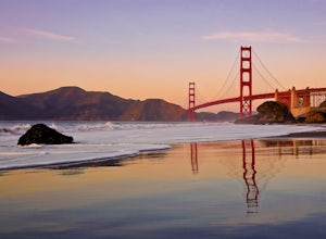
Take in a Sunset on Marshall's Beach
4.8If you're looking for one of the best views of the Golden Gate Bridge, Marshall's Beach gives you just that without the tourist crowds of Baker Beach.This small and hidden beach offers a narrow stretch of sand for those looking to throw a frisbee around or just hang out with friends. As it's tuck...Read more -
San Francisco, California
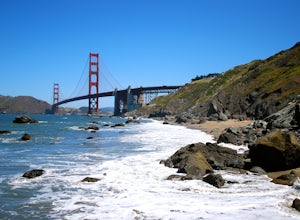
Batteries to Bluffs Trail
4.82.33 mi / 417 ft gainThe Batteries to Bluffs Trail in the Presidio is a true gem of San Francisco. It has everything you could want in a hike: a sea-side path along the ocean, relatively easy parking, gorgeous views of the Golden Gate Bridge, and a secluded beach that's perfect for picnics, sunbathing, and enjoying t...Read more -
Santa Cruz, California
Photograph the UC Santa Cruz Arboretum
5.0No matter the time you'll decide to visit the UC Santa Cruz Arboretum, you'll have thousands of interesting plants and birds to see and watch. The Arboretum is located on the west side of UCSC campus, between the main campus entrance and the west entrance. Parking is 5$ for adults and 2$ for chil...Read more -
San Francisco, California
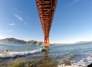
Surf Under The Golden Gate at Fort Point
4.2This has to one of the coolest spots to surf in the world. The break itself is a left point that requires a healthy swell to wrap into the bay, and only gets good on occasion. But when it's good, it can be an experience you'll never forget.It's important to note, that when it's good, this is not ...Read more -
Oakland, California
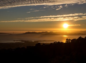
Grizzly Peak
4.8A well-known sunset spot in the East Bay, and rightfully so - the views from Grizzly Peak are stunning. You have several pull-offs to pick from. The larger ones have logs to sit upon. The smaller pull-offs offer benches and sturdy rocks. Take your pick! You will share the sunset with some strang...Read more -
Morgan Hill, California
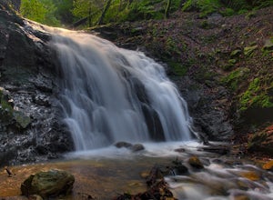
Uvas Canyon Waterfall Hike
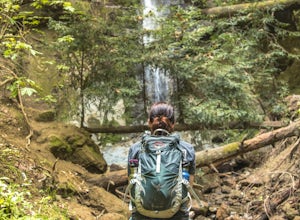
4.01.5 miUvas Canyon offers up to 6-miles of hiking trails, which includes a 1.5 mile loop, which runs along Swanson Creek and passes many of the park's waterfalls. To take short loop, head North out of the parking lot to the Swanson Creek Trail. Once you find Swanson Creek Trail, you'll be on the Waterfa...Read more -
Berkeley, California
Hidden Waterfall in Codornices Park
4.00.5 miPark along the street in front of Codornices Park in Berkeley. Follow the stream to the left of the playground. Take the path up the hill to the right (don't head over the bridge on the left). Keep walking up multiple concrete stairs. After the first flight of stairs you'll see a path on the left...Read more -
Berkeley, California
Berkeley Rose Garden
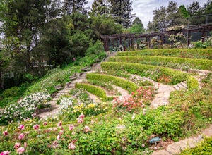
4.0I'm always surprised at how few people know of this beautiful garden. I'm often alone when I visit, which allows for perfect serenity. Visit in early spring for maximum blooms. Park on Euclid Ave, which is where you'll find the entrance to the amphitheater (you can't miss the giant sign). Spend ...Read more -
Mill Valley, California
Kirby Cove
4.72 miThis scenic hike is a 1.8 mile out-and-back trail located near Sausalito, CA. From the trail and beach, you'll get scenic of the Golden Gate, San Francisco's skyline, and glimpses of the East Bay. The best news, there's rarely any crowd. Consider packing a blanket and a small picnic. With panora...Read more -
Sausalito, California
Vista Golden Gate
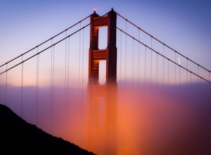
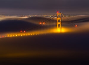
4.3The headlands offer great views of the Golden Gate Bridge, particularly at Vista Golden Gate. You can make the Vista Viewpoint your starting off point to leave your car or if you're riding, just stop in and enjoy the view. This spot allows you to capture views of the Golden Gate as well as Angel ...Read more -
Danville, California
Hike in Mount Diablo's Madrone Canyon
2.8 mi / 550 ft gainThis hike starts at the Rock City area of Mount Diablo State Park. Begin at the Madrone Canyon Trail, hiking southeast towards the Devils Slide trail. Along this section of the hike, the trail dips into a wooded canyon and follows the path of a small creek. To best experience the beauty of the cr...Read more -
Sausalito, California
Hawk Hill
5.00.76 mi / 144 ft gainIf you're leaving from SF, head over the bridge and exit onto Alexander Ave. Make the immediate left under the overpass and you'll be on the road to Hawk Hill. There's a parking area just below the gate leading up to Hawk Hill. From the parking lot you can walk west about ten yards along the outs...Read more -
Aptos, California
Hike to Nisene Marks' Maple Falls
4.68.5 mi / 900 ft gainAs you enter the park, you'll need to pay $8 for parking via a self-pay envelope, so it's recommended that you bring exact change. At the park booth, be sure to grab a map. The hike can be a little tricky with no cell service and limited trail signage. Once you've grabbed your map, keep driving p...Read more

