San Simeon, California
Looking for the best hiking in San Simeon? We've got you covered with the top trails, trips, hiking, backpacking, camping and more around San Simeon. The detailed guides, photos, and reviews are all submitted by the Outbound community.
Top Hiking Spots in and near San Simeon
-
San Simeon, California
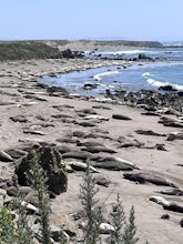
Elephant Seal Vista Point
5.0Elephant Seal Vista Point is a favorite place to see the elephant seals. If you’re in the area and have the opportunity, it's a must see. During the Spring, the adult elephant seals and the baby seals are out. Nearby are easy, clearly marked, walking paths, along the cliffs edge. Dogs are not all...Read more -
Cambria, California
Camp at San Simeon State Park
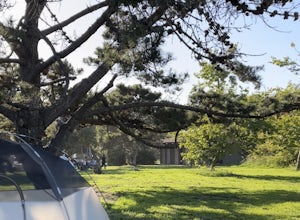
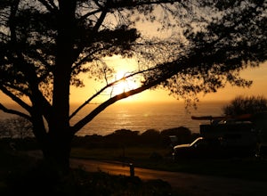
4.0San Simeon has two campgrounds to choose from – San Simeon Creek Campground has 115 campsites for tent or RV camping. Sites have fire rings and picnic tables, and nearby there is firewood for sale. Your other choice is the primitive Washburn Campground, located 1 mile inland. From this plateau, y...Read more -
San Simeon, California
Elephant Seal Vista Point Trail
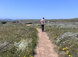
5.05.27 mi / 184 ft gainElephant Seal Vista Point Trail is an out-and-back trail that provides a good opportunity to view wildlife located near San Simeon, California.Read more -
Big Sur, California
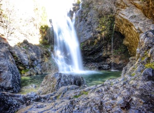
Salmon Creek Falls
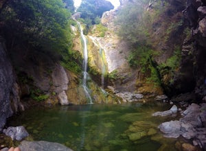
5.00.29 mi / 102 ft gainThe trailhead to Salmon Creek Falls is located along a pullout just 45 miles south of Pfieffer Burns State Park on the Highway 1. The falls are only about .25 miles from the trailhead, perfect for a quick visit if you are already driving through Big Sur. Though the Salmon Creek Trail continues on...Read more -
Big Sur, California
Salmon Creek Trail to Spruce & Estrella Camps
4.56.07 mi / 1919 ft gainFeel free to hike Salmon Creek Trail at your own pace – you can choose to turn back at any point, or at the Spruce (2 miles in) or Estrella (3.25 miles in) sites. The trail leads to open vistas of the coast, giving stunning views of the cliffs and ocean. Around 2 miles in, follow the fork to the...Read more -
Paso Robles, California
Hike the Shoreline Trail
1.05.5 mi / 1100 ft gainThe Shoreline Trail on Lake Nacimiento near Paso Robles, CA is a 5.6 mile trail used for hiking and trail running and located near Lake Nacimiento Resort. To get there, from Highway 101 take the 24th street exit in Paso Robles west till it turns into Lake Nacimiento Drive. Lake Nacimiento Drive w...Read more -
Cayucos, California
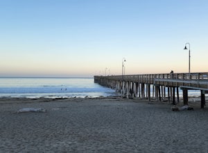
Cayucos Pier Trail
5.00.35 mi / 30 ft gainCayucos Pier Trail is an out-and-back trail where you may see beautiful wildflowers located near Cayucos, California.Read more -
Big Sur, California
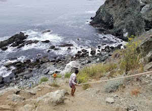
Hike down to Jade Cove
2.00.3 mi / 65 ft gainThe entrance to jade cove is off the side of the road on Hwy 1. There is lots of side parking available. You go down a short unmarked trail and keep left. You'll find yourself at the top of a cliff/mountain side that uses 2 ropes to get down. The first rope is short and not super difficult. ...Read more -
Big Sur, California
Sand Dollar Beach
4.80.35 mi / 82 ft gainHead into Big Sur and get a campsite at Plaskett Creek. You can either make a reservation through recreation.gov or show up and hope to luck out on one of the first-come, first-serve campsites. The campground is much more crowded during the prime summer months, so if you want to get better surf ...Read more -
Big Sur, California
Camp on Prewitt Ridge
4.2After much time in Big Sur, it became quickly apparent that Prewitt Ridge is the crown jewel of camping in the area. It has even been described as "the most beautiful car camping spot on god's green earth" and that doesn't do it justice.While Prewitt Ridge is an officially designated campground i...Read more -
Paso Robles, California
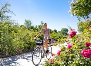
Bike the Salinas River Trail
2 mi / 200 ft gainThe Salinas River Walk in Paso Robles is one of the first sections of a planned 30 mile river trail extending from Santa Margarita in the south to San Miguel. The trail can be accessed at several places, primarily at the south end at Lawrence Moore Park at the end of Riverbank Lane where there i...Read more -
Morro Bay, California
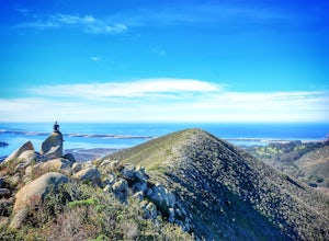
Quarry and Park Ridge Trail Loop
4.03.04 mi / 961 ft gainPark Ridge is a double peaked ridge, elevated at 911ft, which stands next to Cerro Cabrillo, one of the Nine Sisters. The stunning 360* degree views at the top of Morro bay, Los Osos and San Luis Obispo, make this hike worth exploring. There are two ways to access the top. Park Ridge Trail takes...Read more -
Big Sur, California
Cone Peak in Big Sur (Sea to Sky Backpacking Route)
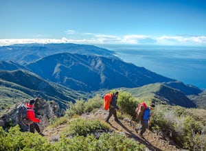
4.519.72 mi / 7484 ft gainWhile you can make a day-hike out of it by driving up the gorgeous Sur-Nacimiento Road from Highway 1 to the Coast Ridge Road and take a 2 mile trail to the summit with 1300' of elevation gain (4 miles roundtrip), the more adventurous types do a Sea to Sky, starting at Kirk Creek Campground and u...Read more -
Big Sur, California
Clifftop Camping & Hot Springs in Big Sur
4.7Campsite:There is nothing quite like driving or biking along US-1, the Pacific Coast Highway. Make sure you get a chance to do the drive during the day so that you can see all that Big Sur has to offer. Be careful when pulling off especially onto the shoulder and never stop on a curve in the road...Read more -
San Luis Obispo County, California
Montaña de Oro Bluff Trail
4.02 mi / 302 ft gainThe Bluff Trail is a simple walk that takes you along the coast in Montaña de Oro. The trailhead is located just past Spooner's Cove and has parking on both sides of the road. The path is paved, making it easily accessible for anyone who wants to enjoy these incredible views. If you're feeling a...Read more -
San Luis Obispo County, California
Camp at Montaña de Oro State Park
5.0Located about 7 miles south of Morrow Bay, follow Los Osos Valley Rd into the state park. Watch for the signs to park, as you will be cited after 10pm.The campground is located just across the road from the famous Spooner's cove, but there are any number of trails and hikes you can enjoy (check ...Read more

