San Rafael, California
Looking for the best photography in San Rafael? We've got you covered with the top trails, trips, hiking, backpacking, camping and more around San Rafael. The detailed guides, photos, and reviews are all submitted by the Outbound community.
Top Photography Spots in and near San Rafael
-
Bodega Bay, California
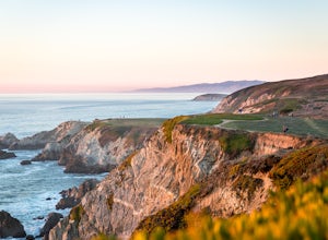
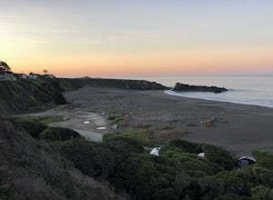
Bodega Head Nature Trail
4.71.67 mi / 121 ft gainSitting west of the San Andrea fault, the Bodega Head is a massive chunk of granite from the Salinian Block, a geological terrane that contains Point Reyes and the Farallon Islands, and shares its origins with the Sierra Nevada mountains, the Head itself having been carried hundreds of miles to t...Read more -
Vacaville, California
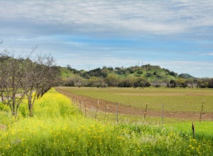
Bike the Cantelow Climb
5.019.68 mi / 1119 ft gainBegin your ride from Lagoon Valley Park in Vacaville, California. There is a parking lot here if you drive to the start of your ride (the park entrance fee is $3 per vehicle per day). Head out of the parking lot and turn right onto Rivera Road where you'll cross over Hwy 80. The road becomes Cher...Read more -
Redwood City, California
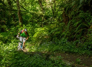
Mountain Bike at Purisima Creek
This beautiful mountain bike ride can be started at the Purisima Creek Road Trailhead or on Skyline Boulevard. There are many trails in the Purisisma Creek Redwoods, but Whittemore Gulch is by far the most beautiful and fun single track to descend on. If you are starting from Skyline Boulevard, i...Read more -
Half Moon Bay, California
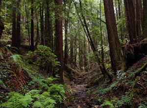
Purisima Creek Trail and Craig Britton Trail Loop
4.06.95 mi / 1411 ft gainThis hike is perfect for any time of year, always staying cool because it is near the coast, and there are multiple creeks that flow year-round. Even on foggy days, the fog condenses on trees to make it seem like it is "raining." Be warned that this hike has a lot of elevation change and is stre...Read more -
Saint Helena, California
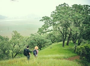
Lake Hennessey Loop
5.06.53 mi / 764 ft gainThe "lollipop" hike starts at the "Ranch House" parking lot off of Chiles Pope Valley Road - alternatively, you can access from Conn Valley Road for a shortened 5.6-mile loop. You turn off Chiles Pope Valley Road onto Moore Creek Trail, drive past a private house (you can see it on the map) and t...Read more -
Half Moon Bay, California
Bike the Cowell-Purisima Coastal Trail
4.0This trail begins at the Cowell State Beach parking lot and is only open on the weekends. From the lot, take the short Cowell Ranch Access trail to a scenic overlook. There are steps down to the secluded pocket beach just above the main trail. The trail playfully meanders along the cliffside with...Read more -
Occidental, California
LandPaths Grove of Old Trees
5.00.7 mi / 92 ft gainThe Grove of Old trees is a privately-owned preserve in Western Sonoma County that is open to the public year round. It is not large, only about 33 acres, but it makes a wonderful spot to go on a walk and to soak in the beauty of the redwoods. To get there from downtown Occidental, drive West up...Read more -
Redwood City, California
Hike the Crystal Springs Trail Loop
5.6 mi / 1300 ft gainThis is a great hike for any season of the year, with rushing streams during the winter, wildflowers in the spring, and cool, shaded canyons during the summer. Starting from near the Zwierlein Picnic area, take the Crystal Springs to the left into the redwood forest. Stay straight at the next tra...Read more -
Redwood City, California
Hike the Methuselah and El Corte De Madera Creek Loop
6.2 mi / 1800 ft gainThis loop hike will provide people with the opportunity to experience the tranquility of the lower canyons of the preserve, which tend to be more isolated than the heavier-trafficked trails that are closer to the main highway. Be warned that this hike is fairly strenuous because of the large amou...Read more -
Redwood City, California
Hike or Bike the Old Growth Redwood Loop at El Corte de Madera
4.48.8 mi / 1900 ft gainThis hike starts at the middle parking lot of the El Corte de Madera Open Space Preserve. The middle lot is located roughly a mile south on Skyline Boulevard from the Skeggs Point Vista. From the parking lot, take the Methuselah Trail for 0.3 miles until you reach the Timberview Trail. Take this ...Read more -
Woodside, California
Hike through Wunderlich County Park
5.04.5 mi / 1400 ft gainLocated in the iconic Silicon Valley town of Woodside, Wunderlich County Park offers a number of hiking trails as well as some horseback riding trails through the wilderness. Once in the parking lot, you will see a number of stables, riding ring, as well as a beautiful historic stable that was o...Read more -
Half Moon Bay, California
Watch the Sunset at Martin's Beach
4.5Martin's Beach is a beach about 7 miles south of Half Moon Bay. It features a large, very cool looking rock formation right off the coast. This beach is accessible via Martin's Beach Road, which is a small turn off on your right when southbound on Highway 1, though sometimes the road is only open...Read more -
Bodega Bay, California
Camp at Wright's Beach Campground
/ 32 ft gainThis campground is defined by the scenery: rugged headlands, craggy coastlines, natural arches, and quiet coves.Wright's Beach Campground features primitive camping - basic tent sites with picnic tables, fire rings, and amazing ocean views. This is a great location for Bay Area campers who want t...Read more -
Sonoma County, California
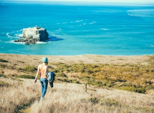
Kortum Trail
9.27 mi / 968 ft gainThe Kortum Trail in the Sonoma Coast State Park connects Goat Rock with Wrights Beach, winding along the top of the sea cliffs and affording incredible views of the California Coast and its numerous sea rocks and arches. To get there take the Pacific Coast Highway / Highway 1 to either Wright's...Read more -
Calistoga, California
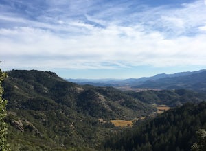
Hike the Oat Hill Mine Trail
5.08.3 miThe incline on this trail begins pretty much right away and is fairly gradual for the entire hike, some of it is quite rocky, making this an easy to moderate level hike. However, with some shade (probably wouldn't attempt it on a hot summer day) and the sweeping views of the valley that get bette...Read more -
Calistoga, California
Hike Bald Hill in Robert Louis Stevenson State Park
3.2 mi / 1200 ft gainBald Hill is the first serious peak/summit that can be reached via the Oat Hill Mine Trail as it breaks from the more popular loop and heads into the heart of Robert Louis Stevenson State Park. To get there you can either begin at the less frequently used trailhead at Picket and Rosedale Roads he...Read more

