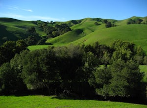
San Geronimo, California
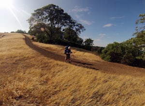
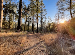
San Geronimo, California is a must-visit for outdoor adventures with some of the top hiking trails. The Gary Giacomini Open Space Preserve is a popular spot, featuring a 4-mile loop trail that offers scenic views of the surrounding landscapes, including lush forests, valleys, and creeks. The trail is moderately difficult, making it suitable for most hikers. For a more challenging hike, the Pine Mountain Loop is a 9-mile trail that leads to a panoramic view of the Marin County. Additionally, the San Geronimo Valley Community Park offers a range of outdoor activities such as soccer, basketball, and a playground for children. For a unique attraction, visit the Spirit Rock Meditation Center, a peaceful retreat nestled among rolling hills and live oak trees. Truly, San Geronimo offers some of the best trails and outdoor activities for a rewarding day out.
Top Spots in and near San Geronimo
-
Bodega Bay, California
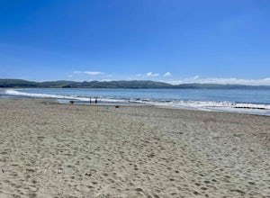
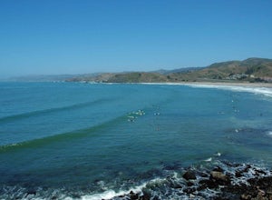
Doran Beach
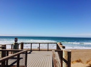
5.04.02 mi / 75 ft gainDoran Beach is nestled within the picturesque landscape of Doran Regional Park near Bodega Bay, California. Offering pristine shores and captivating vistas, this is a coastal gem that allows visitors a more protected coastal landscape than nearby Salmon Creek State Beach. Explore sandy beaches ...Read more -
Pacifica, California
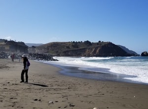
Rockaway Beach
5.0Rockaway is a dark sandy beach located in the south of Pacifica, CA. It has numerous hiking trails around it, most notably Mori Point. The Mori Point trail will take you through the hills and overlooks Rockaway Beach. There are paths to come down to the beach. There are biking paths and park...Read more -
Bodega Bay, California
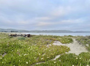
Miwok Campground at Doran Regional Park
5.0Doran Regional Park is located along the coast just south of the town of Bodega Bay, California. There are 5 campgrounds at Doran and Miwok is the tent-only campground with 13 campsites. There is a parking lot at the campground and bathrooms with coin-operated showers. FEES: If camping, your e...Read more -
San Bruno, California
Sweeney Ridge via Sneath Lane
4.53.88 mi / 646 ft gainStarting from the parking lot on Sneath Lane Trail, you’ll head through the gate and continue on the path up Sweeney Ridge. This is a 5.7 mile out-and-back trek. There is a 600 ft. elevation gain, which comes mainly in the first 1.5 miles of the trail. Your legs and lungs may hurt a bit, but if t...Read more -
Bodega Bay, California
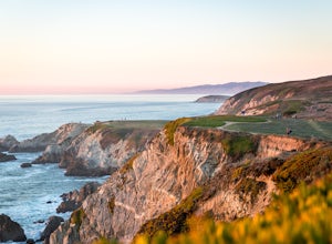
Bodega Head Nature Trail
4.71.67 mi / 121 ft gainSitting west of the San Andrea fault, the Bodega Head is a massive chunk of granite from the Salinian Block, a geological terrane that contains Point Reyes and the Farallon Islands, and shares its origins with the Sierra Nevada mountains, the Head itself having been carried hundreds of miles to t...Read more -
Pacifica, California
Surf at Pacifica State Beach
4.5If you're looking for a place to surf and Ocean Beach isn't quite your speed or Santa Cruz is too far, head to Pacifica, specifically Linda Mar. Linda Mar is usually more wind protected and user-friendly than ocean beach. Break out your longboard or hybrid board and head to this beach. There is e...Read more -
Lafayette, California
Lafayette Reservoir via Nature Area Rim Trail
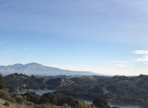
5.05 mi / 758 ft gainLafayette Reservoir is perfect for canoeing, mountain biking, trail running, and hiking. The Reservoir trail system is also used for nature walks and birding. The loop has several high points that have amazing views. The trails become very muddy after wet weather - so tread with caution. Th...Read more -
Oakland, California
Hike Redwood Regional Park via the Dunn Loop
5.03.6 mi / 606 ft gainThe Redwood Regional Dunn Loop is just outside of Oakland, and can be reached from anywhere in the Bay Area for a fun day or half-day trip. The trail is open year-round. In the spring, wildflowers are abundant. The trail has a great mix of sun and shade. Dogs are allowed, but must be kept on leash.Read more -
Santa Rosa, California
Hiking, Swimming, and Fishing in Wine Country
5.0Annadel State Park is located in the historic Valley of the Moon, just 60 miles north of San Francisco, in Sonoma. This popular 5,200 acre park features a wonderful variety of options to explore, boasting views of the Sonoma Valley, rolling meadows of wildflowers, and direct access to 26 acre Lak...Read more -
Saint Helena, California
Hike Bald Mountain, Sugarloaf Ridge SP
5.06 mi / 1540 ft gainPark at the top of Adobe Canyon Road in the gravel parking lot to the left of the ranger kiosk. There is a $7.00 parking fee.There are many options for routes to the top; the easiest of which is mostly paved (although still steep in parts). To take this route, head north out of the trailhead park...Read more -
Kenwood, California
Pony Gate-Canyon Loop
4.02.17 mi / 568 ft gainThe Pony Gate-Canyon Loop within Sugarloaf Ridge State Park is a new favorite of mine on my list of family and kid-friendly hikes. Our little girls did great with this hike and loved it. If you can get moving early in the day and begin your hike around breakfast time, you might find there are few...Read more -
Santa Rosa, California
Hood Mountain Summit Via Lower and Upper Johnson Ridge Trails
5.95 mi / 2054 ft gainHood Mountain Summit via the Lower Johnson and Upper Johnson Ridge Trails is a 6 mile out-and-back trek located in Santa Rosa, CA. The trailhead starts at the Pythian Road parking lot, accessed from Highway 12. The hike takes 3.5 to 4 hours to complete and is considered strenuous. All trails are...Read more -
Santa Rosa, California
Santa Rosa Creek Trail: Willowside Road to Fulton Road
4.2 mi / 46 ft gainSanta Rosa Creek Trail: Willowside Road to Fulton Road is an out-and-back trail that takes you by a river located near Sebastopol, California.Read more -
Bodega Bay, California
Camp at Bodega Dunes Campground
These kind of getaways shouldn't be planned many weeks before the trip. So we didn't booked a campground. And from this experience we learn that you don't have to reserve a campground. Just go there - don't panic when you see campground is full sign in the entrance. There are always available spo...Read more -
Yountville, California
Bike the Napa Valley Wine Trail
12.5 mi / 100 ft gainThe Napa Vally Vine Trail is an ongoing project of the Napa Valley Vine Coalition which has the stated goal of creating a 47 mile long bike trail along the entire length of Napa Valley. Currently 12.5 miles of trail is available between downtown Yountville and Kennedy Park in the city of Napa. Yo...Read more -
Lafayette, California
Briones Park's Lafayette Ridge
4.35.31 mi / 981 ft gainThis is a nice and casual hike through the meadows and rolling hills, dotted with cows and hawks and sometimes goats or foxes. As you head up Lafayette Ridge, you'll be rewarded with the beautiful vista spanning from the Oakland Hills to sparkling Lafayette Reservoir. The hike is mostly through ...Read more

