Ragged Point, California
For those seeking the best trails and outdoor activities, Ragged Point, California is a must-visit. The Ragged Point Cliffside Trail is a top choice for hikers of all levels. This one-mile round trip trail offers scenic views of the Pacific Ocean and the striking Black Swift Falls. The trail's moderate difficulty makes it accessible for most, with rock formations and a steep descent adding to its appeal. In addition to hiking, the area is known for bird watching and whale spotting. Nearby, the Piedras Blancas Elephant Seal Rookery is a unique attraction where you can observe these magnificent creatures in their natural habitat. For a blend of adventure and natural beauty, Ragged Point is a top pick for outdoor adventures.
Top Spots in and near Ragged Point
-
Big Sur, California
Hike the Andrew Molera State Park Loop
4.58.8 mi / 1100 ft gainThe loops starts at the Andrew Molera State Park parking lot (4.5 miles north of the entrance to Pfeiffer Big Sur State Park along Highway 1). Begin by crossing the Big Sur River using the seasonal bridge. If the bridge has been removed, you will need to cross the water by foot. Usually the water...Read more -
Big Sur, California
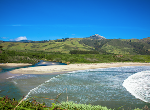
Hike the Creamery Meadow Trail to Molera Beach
2 miEntrance to the parking lot is $10 per car, and once you get in be sure to use the restroom before you head for the trail, since you will likely spend a good amount of time out there.Look for the sign that says Creamery Meadow Trail. You'll know it's right when the very first thing you'll need to...Read more -
Big Sur, California
Camp at Andrew Molera State Park
4.51 miAndrew Molera is about 27 miles south of Carmel and one of the first State Parks you'll hit heading down the coast. There will be signs for the Park as you approach and the main parking lot is only a couple hundred yards from Hwy 1. There are a number of hiking trails and activities to do around ...Read more -
San Luis Obispo, California
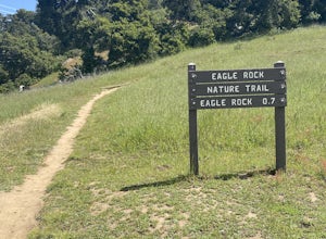
Eagle Rock Nature Trail
4.01.66 mi / 430 ft gainEagle Rock Nature Trail is an out-and-back trail where you may see beautiful wildflowers located near San Luis Obispo, California.Read more -
Carmel-by-the-Sea, California
Pat Springs via Skinners Ridge
3.513.18 mi / 3645 ft gainBackpacking to Pat Springs is a way to see Big Sur and the San Lucia mountains from a perspective that few get to experience. The Ventana Wilderness is rugged and remote, yet Pat Springs is one of the most beautiful campgrounds around that will allow you to take in this amazing terrain. To get ...Read more -
Paicines, California
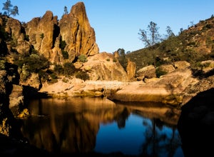
Hike to Bear Gulch Reservoir in Pinnacles National Park
3.51.5 mi / 275 ft gainStart the hike from the Bear Gulch Trail Parking lot. While pulling in, the trail head is on the left. The Trail is marked Reservoir, Caves, and High Peaks. Continue down the trail until faced with a junction. Make sure to admire rock formations while hiking!At the junction take the Bear Gulc...Read more -
San Luis Obispo, California
Bishop's Peak Trail
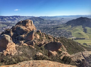
4.83.17 mi / 928 ft gainBishop's Peak is one of the most frequented hikes of the San Luis Obispo Area. With a 950ft elevation gain in an estimated 3 mile trek, the summit's peak rests at 1,559 feet. The hike is both demanding and rewarding - the panoramic views at the top of the nearby volcanic morros and San Luis Obisp...Read more -
San Luis Obispo, California
Mountain Bike Cuesta Ridge
5.07 mi / -1600 ft gainStart at the parking lot directly off of Highway 101, head up TV tower Road for 2.8 Miles and a 900' climb from 1500' to 2400'. The trail is an old fire road that has degraded over the years and is full of potholes. Starting October 2015, the road has been closed to vehicles as its being repaved ...Read more -
Paicines, California
Hike the Juniper Canyon, High Peaks, Tunnel Trail Loop in Pinnacles NP
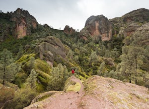
5.04.3 mi / 1200 ft gainPinnacles National Park is located just over two hours outside of San Francisco (depending on the traffic). It was designated the 59th national park in 2013 and while it is small it offers beautiful views and unique wildlife viewing. Keep an eye out for California condors on this hike! This trail...Read more -
Paicines, California
Balconies Cave Trail
2.63 mi / 617 ft gainBalconies Cave Trail is an out-and-back trail where you may see wildflowers located near Paicines, California.Read more -
San Benito County, California
Explore Pinnacles National Park
4.6It’s hard to believe how many people don’t know about this place, which was newly designated as a National Park in January 2013. Pinnacles National Park is hidden just south of San Jose in the Gabilan Mountains, and is a short drive for anyone living in the Bay Area.With beautiful rock spires pie...Read more

