Ragged Point, California
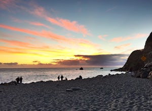
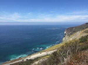
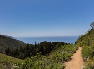
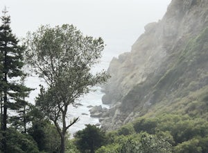
For those seeking the best trails and outdoor activities, Ragged Point, California is a must-visit. The Ragged Point Cliffside Trail is a top choice for hikers of all levels. This one-mile round trip trail offers scenic views of the Pacific Ocean and the striking Black Swift Falls. The trail's moderate difficulty makes it accessible for most, with rock formations and a steep descent adding to its appeal. In addition to hiking, the area is known for bird watching and whale spotting. Nearby, the Piedras Blancas Elephant Seal Rookery is a unique attraction where you can observe these magnificent creatures in their natural habitat. For a blend of adventure and natural beauty, Ragged Point is a top pick for outdoor adventures.
Top Spots in and near Ragged Point
-
Cambria, California
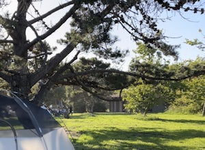
Camp at San Simeon State Park
4.0San Simeon has two campgrounds to choose from – San Simeon Creek Campground has 115 campsites for tent or RV camping. Sites have fire rings and picnic tables, and nearby there is firewood for sale. Your other choice is the primitive Washburn Campground, located 1 mile inland. From this plateau, y...Read more -
Big Sur, California
Camping at Limekiln State Park
4.3This campsite is split into two sections and is located directly below a bridge along Route 1 the Pacific Coast Highway. Be cautious turning into the park as the incline and turn are quite serious.Below the bridge are campsites located both along the tree line and tiered up along the hill. Under ...Read more -
Big Sur, California
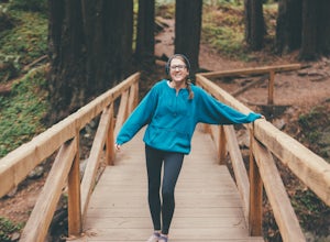
3 Branches of the Limekiln
4.01.98 mi / 696 ft gainThe Limekiln Trails offer up a moderate hike with defined trails, creek crossings, and limited elevation. From the parking area, head east under the canopy of redwoods until you get to the bridge, where there’s a kiosk marking the trail. The three branches are ~0.5 miles each, making it easy to ...Read more -
Big Sur, California
Goat Camp via Twitchwell Flat Use Trail
5.09.2 mi / 3852 ft gainTo find this trailhead, head down Highway 1 towards Limekiln State Park Campground. Between Lucia and Limekiln, there should be a shoulder off the side of the road to park overnight. Cross the street to the trailhead of Twitchwell Flat Use Trail. Bear in mind that there is abundant poison oak alo...Read more -
Paso Robles, California
Kayak Lake Nacimiento
Lake Nacimiento near Paso Robles, CA is a gorgeous reservoir used for kayaking, paddle boarding, and all manner of water sports. To get there, from Highway 101 take the 24th street exit in Paso Robles west till it turns into Lake Nacimiento Drive. Lake Nacimiento Drive will eventually turn into G...Read more -
Paso Robles, California
Hike the Shoreline Trail
1.05.5 mi / 1100 ft gainThe Shoreline Trail on Lake Nacimiento near Paso Robles, CA is a 5.6 mile trail used for hiking and trail running and located near Lake Nacimiento Resort. To get there, from Highway 101 take the 24th street exit in Paso Robles west till it turns into Lake Nacimiento Drive. Lake Nacimiento Drive w...Read more -
Paso Robles, California
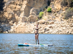
Stand Up Paddle Board at Lake Nacimiento
Lake Nacimiento near Paso Robles, CA is a gorgeous reservoir used for kayaking, paddle boarding, and all manner of water sports. To get there, from Highway 101 take the 24th street exit in Paso Robles west till it turns into Lake Nacimiento Drive. Lake Nacimiento Drive will eventually turn into G...Read more -
Big Sur, California
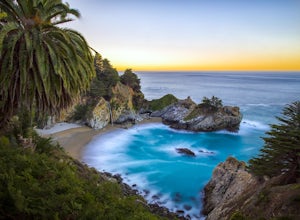
McWay Falls
4.6McWay Falls is one of the most iconic waterfalls in BIg Sur and can be seen from Highway 1. The trail to the falls is located in Julia Pfeiffer. For all of you history buffs, Mcway Falls is named after Christopher McWay, an early settler and farmer from New York who ventured west in the late 1800...Read more -
Greenfield, California
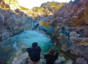
Adventure at Arroyo Seco
4.6This off-the-beaten-trail adventure has a little bit of everything for everyone, and is as challenging as you make it. Many just make it about a mile down to the river for a leisurely day of relaxing, swimming, sunbathing, and enjoying a few cold beverages. Others embark on a 7+ mile adventure up...Read more -
Big Sur, California
Hike the Ewoldsen Trail
4.54.2 mi / 1500 ft gainThe Ewoldsen Trail is one of the more accessible yet challenging hikes in Big Sur. It is a beautiful ~4-mile loop through the redwood forest that starts in the Julia Pfeiffer state park parking lot, which is across the street from McCay falls. During the first part of the hike, you'll pass picnic...Read more -
Big Sur, California
Hike the Waters Ridge Trail
5.07 mi / 2100 ft gainAccess the Waters Ridge Trail from the Ewoldsen Trail, located in Julia Pfeiffer Burns State Park. Although steep, this path is fairly short, and rewards you with spectacular views at the top. About halfway around the Ewoldsen Trail Loop, you'll come across a turnoff on the right, with a sign dem...Read more -
Cayucos, California
Cayucos Pier Trail
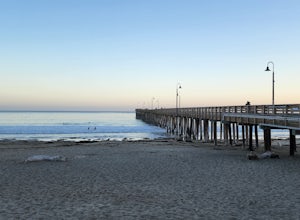
5.00.35 mi / 30 ft gainCayucos Pier Trail is an out-and-back trail where you may see beautiful wildflowers located near Cayucos, California.Read more -
Big Sur, California
Explore The Hidden Rock Caves At Partington Cove
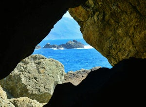
5.0Partington Cove which is located in Julia Pfeiffer Burns State Park, is one of Big Sur's hidden gems. It's a very short hike with enough views to show why Big Sur earned the nickname " Little Yosemite." The whole hike can easily be completed in less than an hour, although there are definitely eno...Read more -
Big Sur, California
Partington Cove Trail
5.01.09 mi / 262 ft gainPartington Cove Trail is an out-and-back trail that takes you by a waterfall located near Big Sur, California.Read more -
Big Sur, California
Hike to Big Sur's Tin House
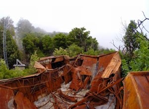
4.0When it comes to the beauty of Big Sur, a half day on Tanbark Trail to the Tin House captures it all. From the redwood forest along Partinton Creek, to the abandoned Tin House, to Highway 1 and coastal views, you can't ask for much more.The hike starts on the east side of Highway 1 - the northern...Read more -
Paso Robles, California
Bike Peachy Canyon
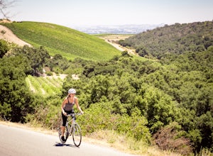
10.5 mi / 2200 ft gainPeach Canyon is the *the* iconic cycling road in the Paso Robles area, beginning downtown and connecting with many other roads in the mountains west of town making for numerous beautiful loops through vineyards, orchards, and black oak groves. Peachy Canyon Road begins at Olive and 6th Street and...Read more

