Point Reyes Station, California
Looking for the best hiking in Point Reyes Station? We've got you covered with the top trails, trips, hiking, backpacking, camping and more around Point Reyes Station. The detailed guides, photos, and reviews are all submitted by the Outbound community.
Top Hiking Spots in and near Point Reyes Station
-
San Rafael, California
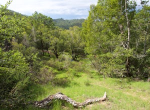
China Camp Loop
4.09.23 mi / 1716 ft gainPark at the lot in the China Camp State Park. Hop onto the Bay View trail to gain to begin the loop trail. Switchbacks take you up to a long and easy path passing through shaded and open areas. Enjoy the grasslands speckled with oak trees and coyote brush. You can see the San Rafael bay and bridg...Read more -
Larkspur, California
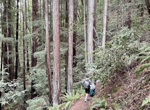
Baltimore Canyon Via Dawn Falls Trail Loop
5.93 mi / 1309 ft gainBaltimore Canyon via Dawn Falls Trail Loop is a loop trail that takes you through a forested setting at the start, up switchbacks to Dawn Falls, and then to views of King Mountain Open Space Preserve as you loop back along Southern Marin Line Road. This is a dog friendly (on-leash) trail located ...Read more -
Mill Valley, California
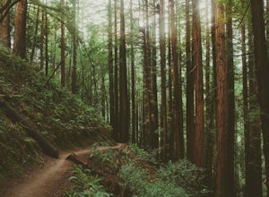
Canopy, Panoramic, Redwood Trail, Sun, Dipsea Trail Loop
4.74.31 mi / 1145 ft gainWhile there are other, less crowded redwood groves in the Bay Area, Muir Woods National Monument is easily one of the best. It is a beautifully maintained site, with wooden footpaths meandering between towering redwoods that are between 600 – 800 years old. It’s home to some true giants, with its...Read more -
Mill Valley, California
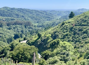
Dipsea Trail
4.613.03 mi / 3701 ft gainThe Dipsea Race is the 2nd oldest foot race in the US. The race is named after the Dipsea Inn at the end of the trail at Stinson Beach. The good news is that you can enjoy this scenic trail and its sweeping ocean views at your leisure. The bad news is that the race is only one-way. If you choose,...Read more -
Muir Beach, California
Owl Trail
5.01.2 mi / 300 ft gainThe Owl Trail runs between Slide Ranch and the Muir Beach Overlook and is a great way to take in the breathtaking views, flora and fauna of the Northern California coast. The easiest way to access the trail is to park at the Muir Beach Overlook and to take the trail down to Slide Ranch and then...Read more -
Muir Beach, California
Pirate's Cove
5.03.43 mi / 856 ft gainPirate's Cove is an out-and-back trail where you may see wildflowers located near Mill Valley, California.Read more -
Corte Madera, California
Ring Mountain Loop
4.02.65 mi / 597 ft gainRing Mountain Open Space is an easy but uphill trail that take you to the top where you can explore more trails. Take the 101 exit for Paradise Dr in Corte Madera, follow the road, and park on the side of the road once you pass Westward Dr. Even though there are many places to start the trail fo...Read more -
Mill Valley, California
Oakwood Trail, Marin Headlands
5.02.56 mi / 538 ft gainLooking to escape the hustle of San Francisco, but don't want to commit to an entire day on the trail? When setting out for this morning hike, be prepared for about 1.5 hour hiking adventure (longer if you stop for extra photos) and a 20 minute commute from San Francisco. This hike is recomend...Read more -
Mill Valley, California
Coyote Ridge Loop
5.06.15 mi / 1001 ft gainStarting just before the Tennessee Valley parking lot, head out from the Miwok Trailhead. This Mill Valley hike offers incredible views of the San Francisco Bay, the Pacific Ocean (fog permitting of course!), and on occasion, wildlife. Unfortunately, this trail is not dog-friendly. Keep in mind...Read more -
Mill Valley, California
Tennessee Beach via Tennessee Valley Trail
4.63.64 miThe Tennessee Valley trail is leisurely 3.6 mile roundtrip hike that turns around at Tennessee Valley Cove. Along the way, you’ll hike past shrublands, wetlands, and a lake before you get to a cool little secluded beach that many people picnic at. This is probably the easiest to access, and most...Read more -
Tiburon, California
Bouldering at Ring Mountain
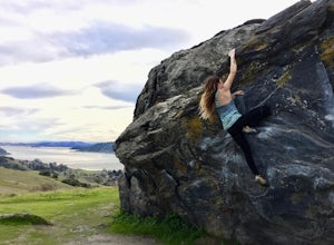
0.5 mi / 400 ft gainItching to climb outdoors near San Francisco? With only a quick drive from the city, Ring Mountain is a beautiful nature preserve overlooking the city of San Francisco offering two main rock formations, Turtle Rock (Pictured) and Split Rock. Split Rock is the slabby rock south of the parking ar...Read more -
Santa Rosa, California
Hike Crane Creek Regional Park
4.03.5 miWith multiple loops of varying length, this park is great for anyone looking for a casual hike around a beautiful area in the foothills of Rohnert Park. Crane Creek has nice secluded picnic areas next to the creek in the cover of willow, alder, buckeye and bay trees. There's also an 18-hole disc ...Read more -
Bodega Bay, California
Doran Beach
5.04.02 mi / 75 ft gainDoran Beach is nestled within the picturesque landscape of Doran Regional Park near Bodega Bay, California. Offering pristine shores and captivating vistas, this is a coastal gem that allows visitors a more protected coastal landscape than nearby Salmon Creek State Beach. Explore sandy beaches ...Read more -
Bodega Bay, California
Bodega Head Nature Trail
4.71.67 mi / 121 ft gainSitting west of the San Andrea fault, the Bodega Head is a massive chunk of granite from the Salinian Block, a geological terrane that contains Point Reyes and the Farallon Islands, and shares its origins with the Sierra Nevada mountains, the Head itself having been carried hundreds of miles to t...Read more -
Mill Valley, California
Hill 88 Loop
4.05.5 mi / 1086 ft gainThis quick, yet challenging trail run is located just minutes north of the Golden Gate Bridge. Grab your dog (on-leash), park in the large lot next to Rodeo Beach and hit the trail! The climb starts up the Coastal Trail to the right end of the parking lot if you're staring at the beach. Take the...Read more -
Mill Valley, California
Coastal Trail from Rodeo Beach to Muir Beach
11.35 mi / 3264 ft gainThis hike has beautiful views in the Marin Headlands. You'll find easy parking in the Rodeo Beach Parking lot if you get there early (by 8:30 am). This hike goes along the Coastal Trail which has a few steep areas as you make your way to Tennessee Beach. The Tennessee Beach has gorgeous dark b...Read more

