Pioneer, California
Looking for the best backpacking in Pioneer? We've got you covered with the top trails, trips, hiking, backpacking, camping and more around Pioneer. The detailed guides, photos, and reviews are all submitted by the Outbound community.
Top Backpacking Spots in and near Pioneer
-
Pioneer, California
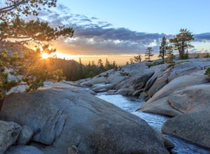
Camping at The Pots
4.2This fantastic camping or chilling spot has beautiful granite pools and slides of all sizes. The area consists of a river flowing over a granite slab creating pools some of which are over ten feet deep. The water cascades down the granite in small water falls. The area is located next to Silver L...Read more -
Arnold, California
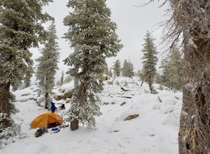
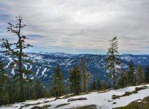
Snow Camp at Bull Run Lake
15 mi / 2400 ft gainThis is a long, beautiful snowshoe to a lake that is very accessible in the summer but almost untouched in the winter! There are a couple of ways to access the lake during the winter, but this is the most interesting: Starting at the easternmost sno-park along Highway 4 going east of Bear Valley,...Read more -
Kyburz, California
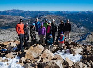
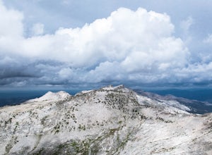
Hike Pyramid Peak
5.0Although it stands only slightly higher than its neighbors, Pyramid Peak nonetheless dominates the Crystal Range atop which it sits. Great views from the summit make this a must-do.The Route: The route is fairly straightforward to Lake Sylvia (see map). Simply follow the well-defined Lyons Cr...Read more -
Arnold, California
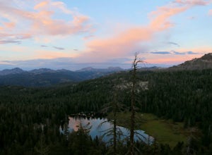
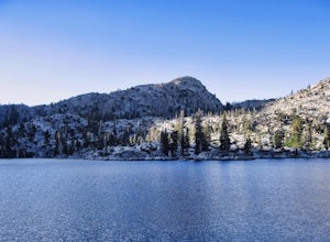
Backpack To Wheeler Lake
5.07.8 mi / 1000 ft gainThe trail to Wheeler Lake begins at the Woodchuck Basin Trailhead. This trailhead is located a little over a mile east of Lake Alpine on Highway 4. The trail starts off relatively flat and winds through forests and meadows, taking you into the Mokelumne Wilderness. Time it right and you'll be met...Read more -
Kyburz, California
Backpack Desolation's Primitive Western Edge through Rockbound Pass
4.426.28 mi / 5151 ft gainThis 26 mile loop meanders through some of the most primitive trails in Desolation Wilderness. Starting from Wrights Lake, the route proceeds over Rockbound Pass, loops around several lakes, and returns to Wrights Lake. Not many hikers venture past the steep and rocky Rockbound Pass to enter this...Read more -
Kyburz, California
Hike the Grouse, Hemlock, and Smith Lake Trail
5.0Starting from the Wright's Lake parking area, walk past the service gate to find the loop trail. Follow the loop trail to the signed trail for Twin, Grouse, Island, and Hemlock Lakes heading toward the right. You will begin an approximate 150 foot ascend before coming to a saddle. Another 150 foo...Read more -
Kyburz, California
Backpack to Smith Lake, Desolation Wilderness
5.05.6 mi / 1750 ft gainTo get to the Twin Lakes Trailhead from the Bay Area/Sacramento, head east on HWY 50 past Kyburz for 4 miles until you see the left-hand turnoff for Wrights Road. If coming westbound on HWY 50, this will be a right-hand turn 5 miles past Strawberry. Follow this paved road for 8 miles (watch for p...Read more -
Kyburz, California
Hike to Twin and Island Lakes
5.07 mi / 1600 ft gainThe Twin Lakes trail starts winding through a pine forest, with a couple bridge crossings over crystal clear trout-filled streams. The marsh-like water is very slow moving, and even though it is indeed beautiful, it is also a prime location for pesky mosquitoes in the summertime. Be sure to loa...Read more -
Arnold, California
Hike To Bull Run Lake
4.3The hike to Bull Run Lake is about 7.8 miles, roundtrip, and begins at the Stanislaus Meadows Trailhead, located about 10 miles West of Ebbetts Pass. There is plenty of parking near the trailhead, off of the South side of CA 4. The trailhead GPS coordinates are: N38 30.376' / W119 56/617'Once you...Read more -
Twin Bridges, California
Hike Pyramid Peak via Rocky Canyon
5.07.4 mi / 4100 ft gainPyramid Peak is the tallest peak in the Crystal Range and the Desolation Wilderness, just west of Lake Tahoe. On a clear day it can be seen from the Bay Area over 150 miles away. Named for its distinct shape, Pyramid a massive heap of glaciated granite slabs and talus, and the Rocky Canyon route ...Read more -
Arnold, California
Backpacking to Sword Lake
5.0Getting There Take 108 to Pinecrest Lake to pick up a free backcountry permit at the Summit Ranger Station. (If you reach Strawberry you've gone too far.) Continue past Beardsley Lake to Clark's Fork Road on the left. Cross two bridges and Forest Route 6N06 will take you to the trailhead (County ...Read more -
Twin Bridges, California
Hiking to Ralston Peak
4.07 mi / 2375 ft gainStarting at the lower lot it's less than a mile to access the trail. The hike starts off in shade through a lot of red fir forest and continues at a steady upward route. Approximately 45 mins into the hike you'll come across a sign that says you are entering desolation wilderness. The forest will...Read more -
Twin Bridges, California
Ropi Lake via Pyramid Creek
4.74.87 mi / 1581 ft gainThe trailhead to begin this hike is located at: 38.8117 N, 120.1237 W. From Hwy 50 just south of Lake Tahoe, take Hwy 50 southwest for almost 11 miles, where you'll turn into the parking lot after crossing Pyramid Creek. There is a $5 day-use fee to park in the trailhead parking lot. The hike i...Read more -
South Lake Tahoe, California
Meiss and Round Lake via Tahoe Rim Trail
10.5 mi / 1257 ft gainMeiss and Round Lake via Tahoe Rim Trail is an out-and-back trail that takes you by a lake located near Kirkwood, California.Read more -
Markleeville, California
Backpack to Grouse Lake
4.711.43 mi / 2283 ft gainIt is a 6 mile hike to Grouse Lake. You begin at the trailhead which is right by Damsite Campground at Upper Blue Lake. Park in the dirt parking area and then cross the metal footbridge, and you will see the trailhead marker on your left. The trail takes you into the Mokelumne Wilderness. Follow...Read more -
Twin Bridges, California
Summit Price & Agassiz from Desolation Wilderness
5.0Mount Price (9,975') is the second highest summit in the Desolation Wilderness, standing just eight feet lower than Pyramid Peak to the south. In between these two peaks stands Mount Agassiz (9,967'), whose overhanging summit resembles a granite wave poised to crash down into the Desolation Vall...Read more

