Pinecrest, California
Pinecrest, California, is a great destination for outdoor adventures. From scenic hikes to must-visit trails, the area offers plenty of options for those looking to explore the great outdoors. For the best trails, visitors should check out the Pinecrest Trail, which is a 4.5-mile loop through the forest and meadows. The trail offers stunning views and is a great spot for bird watching. Another popular outdoor activity in the area is fishing. The nearby Pinecrest Lake is a great spot for anglers of all levels, with plenty of trout and bass to be caught. Pinecrest also offers plenty of opportunities for camping, with several campgrounds located in the area. For those looking for a more scenic experience, the nearby Sequoia National Park is a must-visit. Here, visitors can explore the giant sequoias, take in stunning views, and hike through the park's many trails. No matter what type of outdoor activity you're looking for, Pinecrest, California, has something for everyone.
Top Spots in and near Pinecrest
-
South Lake Tahoe, California
Tahoe Rim Trail (TRT): Big Meadow to Echo Summit
17.51 mi / 2949 ft gainTahoe Rim Trail (TRT): Big Meadow to Echo Summit is a point-to-point trail that takes you by a lake located near South Lake Tahoe, California.Read more -
37.876736,-119.346085
Glen Aulin
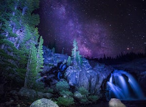
4.812.19 mi / 600 ft gainStart your hike to this waterfall oasis in the heart of the sierra at the parking lot for the Tuolumne Meadows Visitor Center. The Glen Aulin High Sierra Camp sits along the beautifully winding Tuolumne River. White Cascade an 80ft waterfall sits at the edge of camp and provides an excellent swim...Read more -
Lee Vining, California
Hike to the Waterfalls of Lundy Canyon
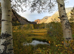
3 mi / 200 ft gainIn order to get to the trail you first have to drive past the beautiful Lundy Lake nestled in deep canyon. When the pavement ends continue for a couple miles as the scenery gets more amazing passing two beaver ponds and an Indian head. The hike begins where the dirt road ends in a loop. The trail...Read more -
South Lake Tahoe, California
Hike to Freel Peak
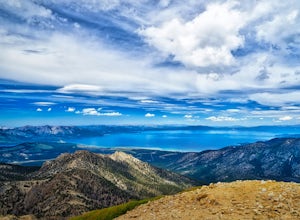
5.07.3 mi / 2474 ft gainMt. Tallac may be one of the Lake Tahoe Basin's most famous peaks to hike because of its fantastic views of Lake Tahoe, but my personal favorite view in Tahoe is from the top of Freel Peak or Jobs Sister. Freel Peak is the tallest peak in the Lake Tahoe Basin at 10,881 feet.From the top of Freel...Read more -
Twin Bridges, California
Climb Knapsack Crack & Deception at Lover's Leap
If you're just getting into outdoor climbing, it can be pretty daunting. There are so many amazing routes and so much to be worried about. Plus, you need a partner you trust to put the work in with you. To start, read a book or two, and if you can, work with a guide once or twice to make sure you...Read more -
Lee Vining, California
20 Lakes Basin Loop
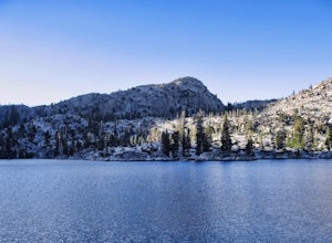
5.07.81 mi / 915 ft gainThis trail is overall very easy to hike, but the 9.1mi distance at a 10,000ft altitude is what makes it a bit of a doozy for people who aren't frequent hikers. That said, if you are a relatively in-shape individual, you should have no problem with this trail. Remember to take frequent water bre...Read more -
Mariposa County, California
Backpack to Lower Ottoway Lake
32 mi / 2400 ft gainThe hike begins at Mono Meadows trailhead along Glacier Point Road, first descending 2.8 steep miles to Illilouette Creek. Above the Illilouette Junction, take in views of the Valley's granite domes before beginning the post-burn forested slog. The trail covers an additional 10 miles of relativel...Read more -
Lee Vining, California
Climb North Peak via the NW Ridge
DirectionsAlthough North Peak lies right on the border of Yosemite, the hike starts just outside the park at the Saddle Bag Lake trail-head. There are also some campsites here if you wish to spend the night, but I think they are usually in high demand and hard to come by. To get to Saddlebag Lak...Read more -
Twin Bridges, California
Hiking to Ralston Peak
4.07 mi / 2375 ft gainStarting at the lower lot it's less than a mile to access the trail. The hike starts off in shade through a lot of red fir forest and continues at a steady upward route. Approximately 45 mins into the hike you'll come across a sign that says you are entering desolation wilderness. The forest will...Read more -
Bridgeport, California
Travertine Hot Springs
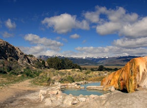
4.00.16 mi / 30 ft gainAfter you’ve bagged an Eastern Sierra peak, you deserve a little soaking to soothe your aching feet and tired muscles. Luckily, our great Mother Earth provides what you need. Travertine Hot Springs sits only a few dirt miles from highway 395. Before you head out, grab some local brews from the g...Read more -
Gardnerville, Nevada
Topaz Lake
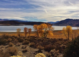
Topaz Lake is a family-friendly Lake within a days drive from Reno/ Lake Tahoe area. As you descend Washoe Valley into the Minden area, wonderful open pastures lend itself to gorgeous vistas. The Topaz Lake Recreation Area near Gardnerville on the Nevada side of the lake offers camping and a day...Read more -
Twin Bridges, California
Hike Pyramid Peak via Rocky Canyon
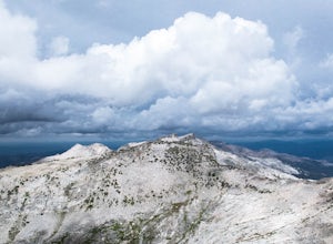
5.07.4 mi / 4100 ft gainPyramid Peak is the tallest peak in the Crystal Range and the Desolation Wilderness, just west of Lake Tahoe. On a clear day it can be seen from the Bay Area over 150 miles away. Named for its distinct shape, Pyramid a massive heap of glaciated granite slabs and talus, and the Rocky Canyon route ...Read more -
Twin Bridges, California
Ropi Lake via Pyramid Creek
4.74.87 mi / 1581 ft gainThe trailhead to begin this hike is located at: 38.8117 N, 120.1237 W. From Hwy 50 just south of Lake Tahoe, take Hwy 50 southwest for almost 11 miles, where you'll turn into the parking lot after crossing Pyramid Creek. There is a $5 day-use fee to park in the trailhead parking lot. The hike i...Read more -
Twin Bridges, United States
Hike Horsetail Falls
4.22.8 mi / 700 ft gainGreat views are waiting for you at the top of Horsetail Falls. Pyramid Creek flows down the steep, glacier carved granite faces of Desolation Wilderness to create this awesome waterfall that is estimated to be about 800 feet tall. You will follow Pyramid Creek up the granite rocks to the top of t...Read more -
Lee Vining, California
Junction Campground, Mono County
Junction campground is by far one of my favorite campsites when I am visiting the High Sierra and Tuolumne Meadows. The only downside is, you can only camp certain months; usually from June through October when highway 120 is open. The Junction campground is far away from the crowds of Yosemite...Read more -
Echo Lake, California
Hike the Echo Lake Trail
4.05 mi / 688 ft gainThe Echo Lakes Trail goes through California's Desolation Wilderness and features incredible views. This trail is rated as moderate, and is best for excited beginners or intermediate hikers. This hike takes roughly 3.5-4 hours. Dogs are allowed on trail if kept on leash. The trail is best used fr...Read more


