Pinecrest, California
Pinecrest, California, is a great destination for outdoor adventures. From scenic hikes to must-visit trails, the area offers plenty of options for those looking to explore the great outdoors. For the best trails, visitors should check out the Pinecrest Trail, which is a 4.5-mile loop through the forest and meadows. The trail offers stunning views and is a great spot for bird watching. Another popular outdoor activity in the area is fishing. The nearby Pinecrest Lake is a great spot for anglers of all levels, with plenty of trout and bass to be caught. Pinecrest also offers plenty of opportunities for camping, with several campgrounds located in the area. For those looking for a more scenic experience, the nearby Sequoia National Park is a must-visit. Here, visitors can explore the giant sequoias, take in stunning views, and hike through the park's many trails. No matter what type of outdoor activity you're looking for, Pinecrest, California, has something for everyone.
Top Spots in and near Pinecrest
-
Mariposa County, California
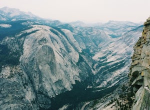
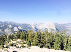
Little Yosemite Valley Campsite and Half Dome
4.613.88 mi / 4800 ft gainFirst things first. You will need to get a wilderness pass by entering the lottery for Half Dome access. If you don't get a pass via lottery just go to the Yosemite Valley visitor center, tell the clerk you are backpacking to Little Yosemite Valley and that you would like to hike up Half Dome. Th...Read more -
37.732842,-119.557782
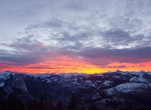
Panorama Trail
4.816.87 mi / 3200 ft gainThe Panorama Trail is an outstanding hike that takes you from the Yosemite Valley floor up to Glacier Point. Or you can hike it downhill going from Glacier Point to Yosemite Valley. You can camp and make it an overnight trip or do it as a day trip by leaving a car at one end and taking a park sh...Read more -
Mariposa County, California
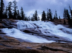
Vernal Fall Foot Bridge Trail via Mist and John Muir Trail
5.02.4 mi / 761 ft gainVernal Fall Foot Bridge Trail via Mist and John Muir Trail is a loop trail that takes you by a waterfall located near Yosemite Valley, California.Read more -
Mariposa County, California
Backpack to Clouds Rest from Glacier Point
4.023.85 mi / 6942 ft gainStart from Glacier Point around 7,200 feet leaving on the Panoramic Trail. Head down 2 miles to Illilouette Falls (5,800 feet). Once you cross the bridge at Illilouette Falls you go up Panorama Point and head back down to Nevada Falls (5,971 feet). Once you reach Nevada Falls fill up on as much w...Read more -
YOSEMITE NATIONAL PARK, California
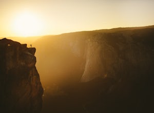
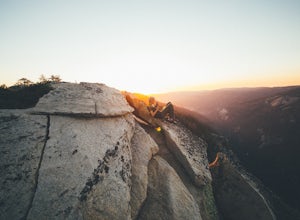
Taft Point
4.92.35 mi / 200 ft gainTaft Point is such an amazing and different view of the Yosemite Valley. If you're lucky and you time it right, you'll also experience complete solitude. While driving Glacier Point Road, just a few minutes before arriving at Glacier Point, you'll see a parking lot for the Taft Point Trailhead. ...Read more -
Mariposa County, California
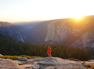
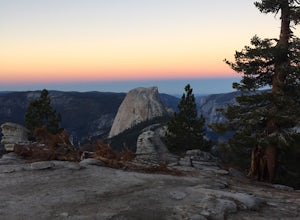
Sentinel Dome Trail
5.02.15 mi / 400 ft gainOne of the most popular places in Yosemite for sunset is Glacier Point, but by walking one mile from the trailhead, the crowds quickly dissipate. Sentinel Dome is great for all ages since the trail is short and not too steep. Park at the Sentinel Dome trailhead, about 3 miles from the end of Glac...Read more -
Mariposa County, California
Sentinel Dome and Taft Point Loop
5.05.17 mi / 1076 ft gainSENTINEL DOME & TAFT POINT TRAILHEAD: About an hour drive from Yosemite Valley campgrounds. This trailhead is an intersection of the starting point of the Taft Point trail and Sentinel Dome trail. It is a short walk (and visible) from the parking lot. In doing both trails, it would be an esti...Read more -
Yosemite National Park, California
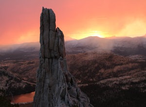
Scramble Yosemite's Cathedral Peak
3.0Start at Toulumne Meadows (8000 ft), and take the John Muir Trail, on the south side of Tioga Road. After about 1 mile, an unmarked trail will appear on your left – it is a less-traveled path, primarily taken by climbers. This trail will lead you away from Cathedral Lake to the back of Cathedral ...Read more -
Cathedral Lakes Trailhead
Tuolumne Meadows to Yosemite Valley
5.030.82 mi / 6109 ft gainYosemite is an iconic park, and if you are looking for isolation with spectacular views of the backcountry this trip is for you. The trail itself is approximately 33 miles and can be done in 3-4 days, but I recommend a 6 day hike to enjoy the scenery and to have the opportunity to soak in each lo...Read more -
Wawona, California
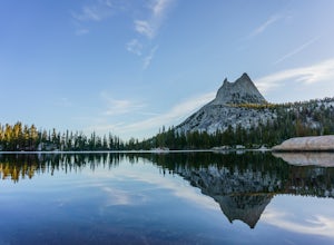
Cathedral Lakes
4.89.04 mi / 1100 ft gainStarting at the Cathedral Lakes Trailhead near the Tuolumne Meadows parking lot (if parking is full at the TH), this trail wanders through the classic High Sierra forest with large white granite boulders and pine trees. After approximately 4 miles of quiet solitude in the forest, you will reach ...Read more -
Tuolumne County, California
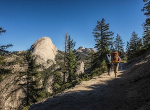
Backpack to Boothe Lake
5.016.6 mi / 1400 ft gainStarting at the Tuolomne Meadows Visitor Center you will head south to jump on the John Muir Trail, move east for 2.8 miles on the JMT until the trail intersects with the Vogelsang High Sierra trailhead, you head south when you reach this trail. Once you hit the Vogelsang trail you are 5.5 miles ...Read more -
Tuolumne County, California
Tulomne Meadows to Donohue Pass via JMT
5.027.56 mi / 2953 ft gainDonohue Pass lies on the border of Yosemite National Park and the Ansel Adams Wilderness. Both the John Muir Trail (JMT) and the Pacific Crest Trail (PCT) route through this pass at 11,056 ft. A challenging but beautiful hike that starts from Tuolumne Meadows and follows the JMT for 12.5 miles t...Read more -
Wawona, California
Dewey Point Trail
4.95 mi / 315 ft gainThis approximately 5-mile out-and-back trail is a great hike in Yosemite National Park. This trail starts off of Dewey Point's Meadow Trail, but you can also start from the Dewey Point Ridge trail, which you'll pass first when coming up Glacier Point Road. This trail is not dog friendly, but is a...Read more -
37.872112,-119.370472
Hike to Waterwheel Falls
17.32 miWaterwheel Falls may be the most unique waterfall in Yosemite. During high waterflow an extraordinary phenomenon appears as the raging water hits a series of ledges creating a plume, this coupled with strong gust blowing upward create cyclical "waterwheel" effect hence the name. On a good day th...Read more -
Yosemite National Park, California
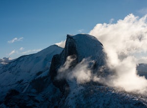
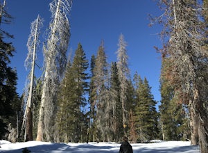
Winter Backpack to Sentinel Dome in Yosemite
5.019.23 mi / 860 ft gainThe goal for our weekend was to do some winter camping in the Yosemite backcountry; we decided on Sentinel Dome as our destination. The trail is a cakewalk during the summer, but winter turns it into a 10 mile uphill grind from the car. Most people opt to head for the ski hut at Glacier Point, bu...Read more -
Yosemite National Park, California
Dewey Point via Badger Pass Ski Area
5.07.36 mi / 761 ft gainTake the one-hour shuttle ride from the Yosemite Lodge to the Yosemite Ski Area, so that you don't have to worry about driving in the snowy conditions, or finding parking. If you don’t own snowshoes, you can easily rent a pair from the rental shop for the day. Current rates are $24.00 for a full ...Read more

