Petaluma, California
Looking for the best chillin in Petaluma? We've got you covered with the top trails, trips, hiking, backpacking, camping and more around Petaluma. The detailed guides, photos, and reviews are all submitted by the Outbound community.
Top Chillin Spots in and near Petaluma
-
Petaluma, California
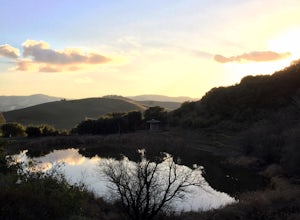
Hike Helen Putnam Regional Park
4.06 mi / 550 ft gainA 216-acre park, Helen Putnam offers 9 trails that are relatively short but can be combined however you wish. Go 2 miles or 10 miles. Loop in and out, up or around. I take a different route every time I hike here.For a good 6-mile hike, begin at the southwest corner, where the parking lot and res...Read more -
Novato, California
Mount Burdell Open Space Loop
4.87 mi / 1234 ft gainStart at the wide gravel parking lot. You will find the start of the San Andreas Fire Road on the south side leading up the mountain. The San Andreas Fire Road heads up the southern slope before joining the Middle Burdell Fire Road and then very quickly the Deer Camp Fire Road. Keep your eyes p...Read more -
Santa Rosa, California
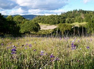
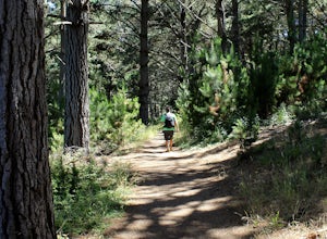
Hike Crane Creek Regional Park
4.03.5 miWith multiple loops of varying length, this park is great for anyone looking for a casual hike around a beautiful area in the foothills of Rohnert Park. Crane Creek has nice secluded picnic areas next to the creek in the cover of willow, alder, buckeye and bay trees. There's also an 18-hole disc ...Read more -
Petaluma, California
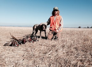
Upland Game Bird Hunting/ Clay Shooting
I’m sure all you hunters and are well aware that there are few, if any, hunting opportunities in San Francisco or Marin County. However, many of you don’t know that an epic hunting club exists just an hour North of San Francisco. At the Black Point Game Bird Club, you can hunt ring-necked pheasan...Read more -
Sonoma, California
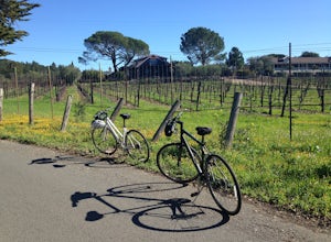
Sonoma Valley Wine Tour Bike Ride
This 12 mile bike path starts at a rental shop in Sonoma Country called Sonoma Valley Bike Tours and Rentals. Follow the trail through the quaint residential area and into the back country vineyards and dirt trails. This ride can be anything between a hardcore 2 hour cycling workout with a few in...Read more -
Novato, California
Buck Gulch Falls Trail
5.01.26 mi / 203 ft gainBuck Gulch Falls (also known as Fairway Falls) is an easy, scenic hike that takes you through a beautiful forest on your way to a 15-foot waterfall. This little neighborhood treasure is tucked away in Novato, CA at the end of Fairway Drive and there is ample parking near the trailhead. If you v...Read more -
San Geronimo, California
Roys Redwood Preserve Loop
5.02.37 mi / 430 ft gainRoy's Redwoods Preserve is an easily missed pocket of Redwoods off Nicasio Valley Road in Marin County. Don't miss it: heading North on Sir Francis Drake Blvd turn right onto Nicasio Valley Rd--the gate for this little park is about a half mile up on the right. From the main entrance you enter a ...Read more -
Santa Rosa, California
Hiking, Swimming, and Fishing in Wine Country
5.0Annadel State Park is located in the historic Valley of the Moon, just 60 miles north of San Francisco, in Sonoma. This popular 5,200 acre park features a wonderful variety of options to explore, boasting views of the Sonoma Valley, rolling meadows of wildflowers, and direct access to 26 acre Lak...Read more -
Sebastopol, California
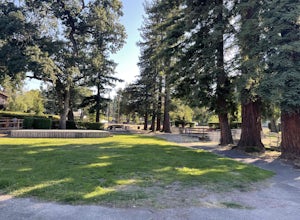
Ives Park
4.0Ives Park is the oldest park in Sebastopol, California, and is located only 2 blocks from downtown Sebastopol. The park has many picnic tables with barbecues, a baseball diamond, a playground, and a community pool. Amenities: Parking for the park is on the street surrounding the park. There is ...Read more -
Lagunitas, California
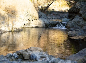
Swim at the Inkwells
4.5These natural swimming holes are filled with water flowing from Kent Lake, so they're usually pretty refreshing. And by refreshing, we mean cold. We know this first-hand by testing the pools in the winter months. Let's just say if you can stay in for more than 5 seconds, you're a hero. If you jum...Read more -
Point Reyes Station, California
Sky Trail Loop
5.09.55 mi / 1818 ft gainSky Trail in Point Reyes National Seashore is a dramatic, mostly single-track trail that runs along the main spine of the Inverness Ridge and across highest mountains in Point Reyes, looming above the Olema Valley and Highway 1 which mark the San Andreas Fault rift zone and the dividing line betw...Read more -
Point Reyes Station, California
Sky Campground via Sky Trail
2.66 mi / 495 ft gainEntering Point Reyes National Seashore from Bear Valley Road the Sky Trailhead is a 4.9 mile drive. Camping in Sky Camp requires a Camping Permit. Once at the Sky Trailhead parking lot. The Sky Trailhead will be on the left side pulling in. The hike is not very strenuous and not all that lo...Read more -
Inverness, California
Hike the Estero Trail
5.08 mi / 200 ft gainJune sunshine blazes on your shoulders during this scenic stroll through the Point Reyes Seashore. The trail is alive and awash with colorful wildflowers around every corner.Beginning at the trailhead, just off Home Ranch Road, with a convenient parking lot and bathroom, you'll wade through a hal...Read more -
Yountville, California
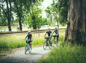
Bike the Napa Valley Wine Trail
12.5 mi / 100 ft gainThe Napa Vally Vine Trail is an ongoing project of the Napa Valley Vine Coalition which has the stated goal of creating a 47 mile long bike trail along the entire length of Napa Valley. Currently 12.5 miles of trail is available between downtown Yountville and Kennedy Park in the city of Napa. Yo...Read more -
Inverness, California
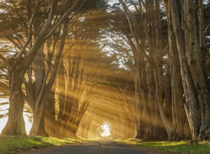
Photograph the Cypress Tree Tunnel in Point Reyes
4.3Just north of San Francisco, there's a row of giant Monterey cypress trees that forms a “tree tunnel”. Loved by Bay Area locals, it's a tucked away spot in the Point Reyes National Seashore for photographers to capture early morning sun rays, or for anyone to get some moments of solitude. At the ...Read more -
Inverness, California
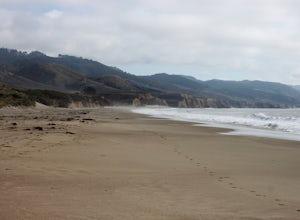
Walk along Limantour Beach
4.8The entire drive to Pt. Reyes is picturesque, but once you make it to Limantour, you and your dog can both get out and enjoy it! This area, between Drake's Bay and an estuary, allows you to spend time relaxing or head out for a run (keep the dog on leash). If you're lucky you might either get a c...Read more

