Palo Alto, California
Palo Alto, California is a popular outdoor getaway for those who love to explore the outdoors. There are plenty of top trails and activities to enjoy in and near the area. Must-visit attractions include the Stanford Dish, the Palo Alto Baylands Nature Preserve, and the Foothills Park. The Dish is a great spot for a scenic hike and offers incredible views of the Bay Area. The Palo Alto Baylands Nature Preserve is a great place to observe wildlife. The Foothills Park is a great spot for outdoor activities, with plenty of trails and activities to keep you busy. Whether you’re looking for a relaxed outing or an action-packed outing, Palo Alto has something for everyone.
Top Spots in and near Palo Alto
-
Walnut Creek, California
Castle Rock Trail
5.06.06 mi / 971 ft gainLocated near Walnut Creek, the trail is easily accessible from anywhere in the Bay Area. The trail is kept open year-round, and happens to be part of the American Discovery Trail and the Coast to Crest trail. If you are not done hiking, connecting trails allow you to summit Mt. Diablo. This tra...Read more -
Berkeley, California
Wildcat Peak via Nimitz Way
4.74.16 mi / 459 ft gainTilden Park is a beautiful recreational area with scenic hiking trails, a swimming lake, small animal farm, a steam train and botanical gardens. The versatility of this park makes it very family and kid friendly, and those who are looking for a moderate hike within the park have almost forty mile...Read more -
Orinda, California
Wildcat Peak Loop
4.05.89 mi / 1050 ft gainFrom Inspiration Point, head toward Nimitz gate. Once you pass through the gate, keep an eye out for Curran Trailhead; this is the trail you'll be starting on. After about 1/8 of a mile, you'll reach a junction with the Meadows Canyon Trail. Turn right onto this trail to continue the loop. This p...Read more -
Sausalito, California
Battery Spencer
4.00.47 mi / 46 ft gainThis is a very popular spot to hike up to from Conzelman Road. You can find parking in the lot or on the street and do the quick hike up to Battery Spencer. You can get a perfect view of the Golden Gate Bridge and SF from the Marin side of the Bay. This is a unique perspective as you also get the...Read more -
Mill Valley, California
Kirby Cove
4.72 miThis scenic hike is a 1.8 mile out-and-back trail located near Sausalito, CA. From the trail and beach, you'll get scenic of the Golden Gate, San Francisco's skyline, and glimpses of the East Bay. The best news, there's rarely any crowd. Consider packing a blanket and a small picnic. With panora...Read more -
Sausalito, California
Vista Golden Gate
4.3The headlands offer great views of the Golden Gate Bridge, particularly at Vista Golden Gate. You can make the Vista Viewpoint your starting off point to leave your car or if you're riding, just stop in and enjoy the view. This spot allows you to capture views of the Golden Gate as well as Angel ...Read more -
Mill Valley, California
Camp at Kirby Cove
4.5Yes, you can camp just over the Golden Gate! Kirby Cove Campground has 4 overnight campsites and 1 picnic area for day use. The campground is set near a coarse-sand beach and offers amazing views of the Golden Gate, as long as it’s not a super foggy SF day. From the parking lot, it's a steep ~1 m...Read more -
Mill Valley, California
Headlands Ride to Point Bonita Lighthouse
4.3The Headlands are a quick ride over the Golden Gate. On the ride, you'll see wildflowers, rugged coastline, and the Point Bonita Lighthouse. Once you cross the bridge, take Conzelman Rd up ~700 feet to Hawk Hill. From here, continue on to the lighthouse. On the return trip, head back on Conzelman...Read more -
Santa Cruz, California
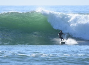
Surf Four Mile Beach
4.0Four Mile is a reef/point break that is a couple of miles north of town. This spot usually picks up more swell than in town so it is a popular spot for many locals to surf. When the swell picks up, it offers long rights towards the beach. The current can be strong when there is a lot of swell in ...Read more -
Kensington, California
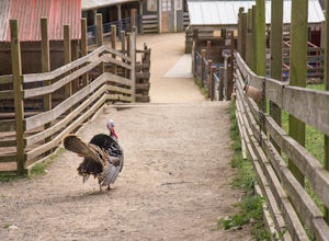
Tilden Little Farm
4.0First make sure to stop at the store and stock up on fresh lettuce and celery for the animals. Your kids (or just the kid in you) will love to feed them! Note that they're only allowed to eat lettuce and celery, so don't try to feed them your own snacks or get creative. ;) If you want to make it...Read more -
Sausalito, California
Hawk Hill
5.00.76 mi / 144 ft gainIf you're leaving from SF, head over the bridge and exit onto Alexander Ave. Make the immediate left under the overpass and you'll be on the road to Hawk Hill. There's a parking area just below the gate leading up to Hawk Hill. From the parking lot you can walk west about ten yards along the outs...Read more -
Sausalito, California
Slacker Hill
5.01.02 mi / 344 ft gainAlthough the Headlands can be crowded, particularly at the parking-lot chaos of the Vista Point and pull-offs along Conzelman Road, the three routes leading to the summit of Slacker Hill remain relatively quiet, even during busy weekends. Each can be tied into larger loops throughout the Headland...Read more -
Sausalito, California
Ninja Loop
9.37 mi / 1831 ft gainThis loop can start from several different locations, including Rodeo Beach and the Golden Gate Bridge parking lot. Starting from the GGB will add 2 more miles onto this run. I like to start at the Coastal Trailhead parking lot off of McCullough and Conzelman Roads (just a notch down from Hawk Hi...Read more -
Sausalito, California
Marin Headlands Trail Loop
10.5 mi / 1990 ft gainThis trail starts at the Coastal Trail in Marin Headlands Park, where there's a small parking lot and outhouse bathroom off the circle when coming from Conzelman Road.Take the Coastal Trail until you intersect with Bunker Road (you can even turn right and spit off the trail just before intersecti...Read more -
Aptos, California
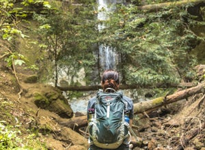
Hike to Nisene Marks' Maple Falls
4.68.5 mi / 900 ft gainAs you enter the park, you'll need to pay $8 for parking via a self-pay envelope, so it's recommended that you bring exact change. At the park booth, be sure to grab a map. The hike can be a little tricky with no cell service and limited trail signage. Once you've grabbed your map, keep driving p...Read more -
Santa Cruz, California
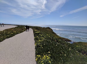
Hike Natural Bridges to Lighthouse Field
3.54.8 mi / 121 ft gainThis is a paved trail that can be used for hiking, jogging, or walking. It offers over 2 miles of beautiful California coast. Walk through flowers, see the jagged cliffs, and of course the lighthouse at the end! This walk can be done from either direction. Start at Natural Bridges and head We...Read more


