Pacific, California
Pacific, California has planty of options for hiking trails, such as the scenic Pacific Crest Trail, offering breathtaking views of the surrounding landscape. For camping aficionados, the Pacific State Beach offers a unique beachside camping experience. The city is also a hotspot for a variety of water sports, including kayaking and surfing, thanks to its proximity to the Pacific Ocean. Rock climbing enthusiasts will find the Castle Rock State Park a challenging and exciting destination. Whether you're a hiker, camper, or thrill-seeker, Pacific, CA, has something for everyone.
Top Spots in and near Pacific
-
Soda Springs, California
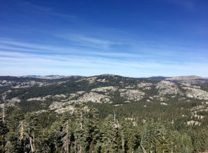
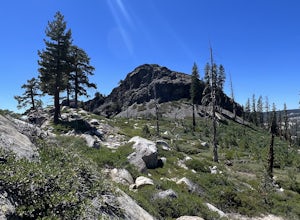
Hike to the Top of Andesite Peak
5 mi / 1000 ft gainFrom the trail map sign, follow the dirt path straight, following signs for the cross-country skiing route, not snowmobiling. Continue until you see a trail marker. You'll veer left to head over to the Hole in the Ground trail. Once you see another identical trail map board, you'll head left. Thi...Read more -
Grass Valley, California
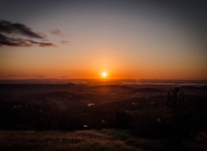
Photograph a Sunset on Wolf Mountain
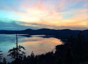
5.0While all of the hiking trails to the Wolf Mountain summit cross private land, Wolf Mountain Road provides public access to several excellent viewpoints overlooking the Central Valley and the nearby ruins of old radio towers.To get there take McCourtney Road west from CA Highway 49/20 and go 3.2 ...Read more -
Soda Springs, California
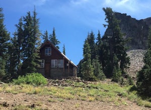
Hike to the Peter Benson Hut
5.011.6 mi / 1800 ft gainDrive to the top of Donner Summit via the Old Hwy 40 and park at the Donner Summit PCT trailhead, just past the Sugar Bowl Academy Building. Begin hiking up-hill through a somewhat forested area for about 2 miles. Shortly after you pass the trail sign for the Mt. Judah Loop, you will come to a sm...Read more -
Soda Springs, California
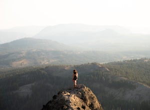
Summit Castle Peak
4.06 mi / 1800 ft gainThe trailhead is very easy to access as it is just off Highway 80 at the Boreal Mountain exit. When taking the exit, take a turn to the North, rather than to Boreal on the South side of the Highway. On busy summer weekends this trailhead can get quite crowded so you may have to park at the bottom...Read more -
39.333252,-120.289482
Donner Lake Rim Trail: Johnson Canyon to Trout Creek
A perfect Sunday hike on your way back from a weekend at Lake Tahoe. Exit I-80 at Donner Lake and take the dirt road on the north side of I-80 to a large parking lot. A mild climb followed by a set of tougher switchbacks leads you to great views from Donner Ridge. Although adventuring out on t...Read more -
Carson City, Nevada
Secret Harbor / Whale Beach
4.01.67 mi / 384 ft gainSecret Harbor / Whale Beach is an out-and-back trail that takes you by a lake located near Carson City, Nevada.Read more -
Carson City, Nevada
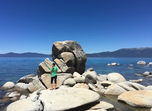
Hike to Secret Cove
5.00.9 mi / 209 ft gainTake a short little hike down from HWY 28 to Secret Cove to relax on the beach on sunbathe on rocks. The water is incredibly clear and has different shades of turquoise. There are many rocks to climb on and the water is great for swimming. It gets crowded early, and is a nude beach, so plan accor...Read more -
Truckee, California
China Cove Loop at Donner Lake
4.63.11 miThis is a casual hike in an area with a ton of history. Stop by the museum before or after your hike to learn about the Donner Party, the Transcontinental Railroad, and local Native Americans Park at the Donner Lake and Memorial State Park Visitor Center and walk west towards the lake. Cross the...Read more -
Gold River, California
Hike the American River Parkway: Fair Oaks Bridge to Hazel Ave.
5.04.7 mi / 249 ft gainThis area is possibly one of my favorite stretches of trail along the American River Parkway (for my route, click here. On this trail, you'll get great views of the American River, experience lush fern gullies, and depending on the seasons can see all sorts of wildlife, mostly birds along with t...Read more -
Kings Beach, California
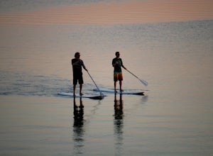
SUP from Kings Beach
5.0This is a super fun way to enjoy the day, get some exercise and see some really cool parts of the lake that are usually hidden. You can rent boards/ paddles at a few different places either for the day or by the hour. Bring some water, sun block and a camera...if you dare! Once the day is done ...Read more -
Carson City, Nevada
Relax at Tahoe's Chimney Beach
5.02.2 miLocated on the East Bank of Lake Tahoe along Highway 28, Chimney Beach is a great alternative to the more popular and heavily used beaches which can be quite a challenge to gain access due to the parking limitations during the busy summer months and on weekends.From the parking area on the east s...Read more -
Carson City, Nevada
Marlette Lake via Chimney Beach Trailhead
4.05.96 mi / 1713 ft gainThis trail starts right off NV28 between Chimney Beach and Great Tahoe Beach. Around 30 minute drive from South Lake Tahoe and the CA/NV border, we arrived close to 10am with plenty of parking available. While it seemed the trail was heavily used by mountain bikes, we encountered zero during our ...Read more -
Nevada City, California
Take a Family Ride
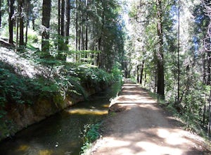
4.5Well if you start at Banner Lava Cap and Gracie Roads then you will see the canal at the top of Gracie Rd. Hop onto the berm of the canal and head north {upstream}. The trail is dirt and about 4 ft wide in the beginning and widens to 6 to 8 ft for most the way . Continue upstream on the canal and...Read more -
Arnold, California
Upper Gardner Meadow via Highland Lakes Trail
3.96 mi / 364 ft gainUpper Gardner Meadow via Highland Lakes Trail is an out-and-back trail where you may see wildflowers located near Markleeville, California.Read more -
Incline Village, Nevada
Walk to the Historic Stateline Fire Lookout site
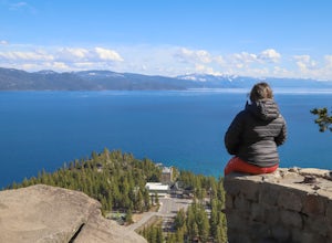
5.01.8 mi / 340 ft gainThe hike up to the Historic Stateline Fire Lookout above Lake Tahoe's Crystal Bay area is somewhat of a misnomer, as the fire lookout no longer exists. Instead, the path, which follows a paved forest road, up to the site where the tower once stood will bring hikers to a panoramic viewpoint that l...Read more -
Incline Village, Nevada
Quick Hike and Photo Op at Stateline
5.02 miThis quick 2-mile RT hike takes you to a lookout point above the Stateline of California and Nevada. The road to the lookout is paved so beginners can make the trek to the top in the summer; winter covers the road with snow, so snowshoes or boots are recommended. The lookout offers spectacular vi...Read more

