Pacific Crest Trail, California
The Pacific Crest Trail in California is a top pick for outdoor adventures. This long-distance hiking and equestrian trail stretches from Mexico to Canada, offering a scenic journey through the Sierra Nevada and Cascade mountain ranges. It's a must-visit for those who enjoy challenging hikes, with a high point at Forester Pass standing at 13,153 feet. Along the trail, you'll encounter the stunning beauty of Yosemite National Park, the crystal clear waters of Lake Tahoe, and the unique rock formations of Lassen Volcanic National Park. Other attractions near the trail include the Sequoia National Forest known for its giant sequoia trees. The best Trails and Outdoor Activities are waiting for you at the Pacific Crest Trail.
Top Spots in and near Pacific Crest Trail
-
Lee Vining, California
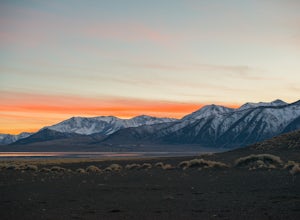
Camp at Mono Lake
5.0Many people visit Mono Lake for a quick photo opportunity of the South Tufa. When I discovered camping was allowed on the North side of the lake, I knew I had to experience it and share.You head East on Cemetery Rd. just North of Lee Vining. This road turns into a dirt road, which will require yo...Read more -
Lee Vining, California
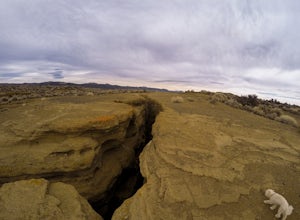
Explore the Black Point Fissures
4.32 mi / 500 ft gainThis area is such a great way to spend time exploring. It's a lot different than what it's surrounded by, making it a great change of pace in the Eastern Sierra.Just East of Lee Vining, California is Black Point, which sits on the North side of the massive Mono Lake...Which used to be an underwat...Read more -
Mono County, California
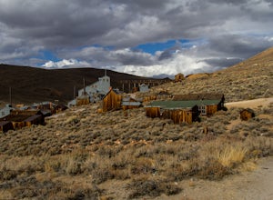
Explore Bodie's Ghost Town
5.0Bodie exploded as a gold mining town in 1876, after the discovery of gold ore. It is estimated that Bodie produced over $34 million worth of gold over the years. The town was finally abandoned in 1942.While driving on 395, turn onto 270 and follow it 17 mi to the ghost town of Bodie. The last thr...Read more -
Gardnerville, Nevada
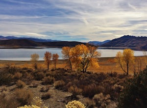
Topaz Lake
Topaz Lake is a family-friendly Lake within a days drive from Reno/ Lake Tahoe area. As you descend Washoe Valley into the Minden area, wonderful open pastures lend itself to gorgeous vistas. The Topaz Lake Recreation Area near Gardnerville on the Nevada side of the lake offers camping and a day...Read more -
Yosemite Valley, California
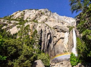
Photograph Moonbows at Yosemite Falls
1 miIn spring at Yosemite National Park, a unique phenomenon occurs, called “moonbows.” Seen during the full moon, moonbows are rainbows produced by light reflected off the surface of the moon, and are relatively faint and difficult to detect with the naked eye, but they do appear in long exposure ph...Read more -
Mariposa County, California
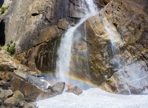
Lower Yosemite Falls
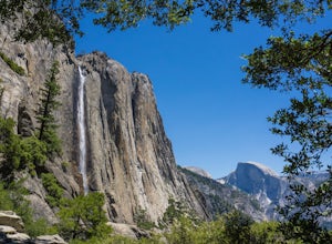
4.81.16 miAt 2,425 feet, Yosemite Falls is the highest waterfall in North America. The falls consists of three sections: Upper Falls, Middle Cascades, and Lower Falls. At 320 feet, Lower Yosemite Falls is one of the most popular attractions at Yosemite National Park. This 1-mile loop is a leisurely walk wi...Read more -
Lee Vining, California
Mono Lake Vista Point
Mono Lake Vista Point is a quick pull off on the right side of Highway 395 as you’re headed south toward Mono City. The pull off is fairly big and is a great spot to pull over quickly to take in a view of Mono Lake and the greater area.Read more -
Yosemite Valley, California
Sentinel Meadow Cook's Meadow Loop Trail
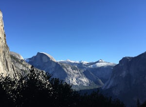
4.51.99 mi / 85 ft gainThis short, easy walk provides some of the best views of several iconic Yosemite landmarks from the valley floor. If you complete the entire loop, expect to see Yosemite Falls from the Swinging Bridge, Half Dome from Sentinel Bridge (a popular spot at sunset), and the historic Yosemite Chapel. ...Read more -
Markleeville, California
Backpack to Grouse Lake
4.711.43 mi / 2283 ft gainIt is a 6 mile hike to Grouse Lake. You begin at the trailhead which is right by Damsite Campground at Upper Blue Lake. Park in the dirt parking area and then cross the metal footbridge, and you will see the trailhead marker on your left. The trail takes you into the Mokelumne Wilderness. Follow...Read more -
YOSEMITE NATIONAL PARK, California
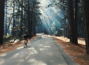
Bike Yosemite Valley
4.012 miBringing my bike to the Valley was one of the best decisions I have made on my many trips there. Everything changed after that visit and there will never be another time (unless in the dead of winter) that my bike will not be there with me. The reason is simple: everything is heightened.When Yose...Read more -
YOSEMITE NATIONAL PARK, California
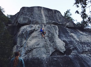
Rock Climb Penthouse Cracks, Yosemite NP
The Penthouse Cracks in Yosemite Valley are a great introduction to crack climbing, in a safe environment. With fixed protection above the routes, you are able to safely top rope these climbs. Featuring a 5.8, two 5.10 climbs, and a 5.11, everyone can find something fun to try.Park at Yosemite Lo...Read more -
Mariposa County, California
Yosemite Point
5.07.35 mi / 4354 ft gainStarting at the Yosemite Falls Trailhead in Yosemite Valley, the trek up to the Upper Yosemite Falls overlook has a steep 3,175 ft elevation gain across switchbacks, rocks, and gravelly trails. Hiking poles recommended, but not necessary. The trail to Yosemite Point beyond Upper Yosemite Falls ...Read more -
Yosemite Valley, California
Hike the North Dome Loop via Yosemite Falls Trail
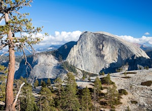
4.018 mi / 5200 ft gainOne ofthe most challenging and rewarding hikes on the northern rim of YosemiteValley. This is an alternative to the often crowdedMist, Panorama or 4-Mile Trails. Or if you are not able to grab a permit tohike Half Dome this is great choice. Some of the highlights include hiking tothe top of Nort...Read more -
Yosemite Valley, California
El Capitan Trail
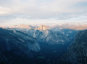
5.014.68 mi / 5052 ft gainStart on the Yosemite Falls trailhead and work your way up. Yosemite Falls can be anywhere from a huge flow to a slow trickle depending on the time of year. Hiking boots are absolutely necessary and hiking poles are a huge benefit. Say hello to rock climbers at the top as they finish their El Cap...Read more -
37.741904,-119.601967
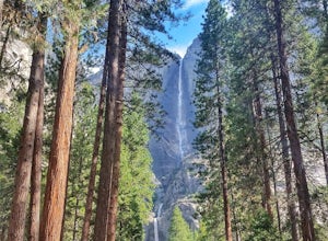
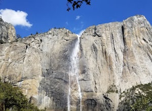
Upper Yosemite Falls
4.75.98 mi / 2700 ft gainYou can find the trailhead to Upper Yosemite Falls near Camp 4. There is plenty of free parking here and you can also take a shuttle to stop #7. Be sure to start this hike early in the day as it is strenuous and can get really hot as the day goes on. Bring plenty of water and snacks and take many...Read more -
Mariposa County, California
Backpack to Yosemite's Eagle Peak via Yosemite Falls
12.6 mi / 3779 ft gainGet a permit. Any overnight backpacking in Yosemite requires a permit from the Wilderness Center. Before you leave make sure to get one! Get a bear canister! Bears are active in Yosemite and all backpackers must take the required measures to keep food away from them! Start at Camp 4. Eagle Pe...Read more

