Pacific Crest Trail, California
Looking for the best chillin in Pacific Crest Trail? We've got you covered with the top trails, trips, hiking, backpacking, camping and more around Pacific Crest Trail. The detailed guides, photos, and reviews are all submitted by the Outbound community.
Top Chillin Spots in and near Pacific Crest Trail
-
Mariposa County, California
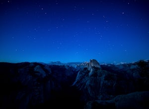
Stargaze and Photograph the Night Sky at Glacier Point
5.0The summer months of June, July, and August tend to provide the best views of the stars, and particularly in August during the meteor showers. Amateur astronomers often gather on Saturdays during the summer, and provide first hand knowledge and guidance. Glacier Point can accommodate hundreds of ...Read more -
Mariposa County, California
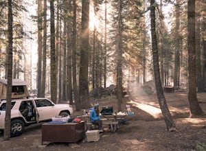
Camp at Crane Flat Campground
Crane Flat Campground is located on the Big Oak Flat Road (Highway 120) just west of Crane Flat, about 30 minutes northwest of Yosemite Valley. Sites are open July-October at $26/night. More info at https://www.nps.gov/yose/plany...Read more -
Yosemite Village, California
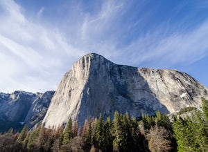
Watch the Sunset in El Capitan Meadow
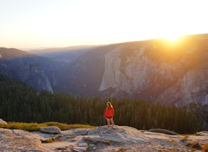
After entering the park, keep driving the loop until you get onto Northside Drive, and then park once you are right below El Capitan (the 3,000ft granite monolith that is very hard to miss).Once you've parked, grab a blanket, snacks, and a beverage. With these items in hand, walk over to the eas...Read more -
Mariposa County, California
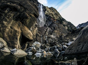
Hike to Bridalveil Fall
3.81.2 mi / 200 ft gainSince most things you want to see in Yosemite require a hike, this place is a nice change to see something without having to walk for hours. From the parking lot it is just about a 10 minute walk to the falls.If you scramble up the rocks, you can get a nice view of the falls and the pond. It used...Read more -
Mariposa County, California
Backpack Yosemite's South Rim
5.018 mi / 2800 ft gainStep 1: Get Wilderness Permit from the Wilderness Office the day before! Permits are free and required. This trail is a Point-to-Point trail so make sure you have a shuttle situation figured out (or you can always hitch hike). The best option is to get dropped off at Tunnel View so that you don'...Read more -
Mariposa County, California
Hike to Inspiration Point in Yosemite NP
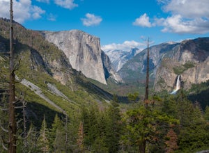
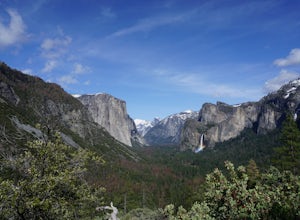
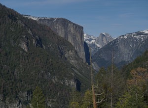
2.4 mi / 900 ft gainInspiration Point is a granite slab located on the mountainside above Tunnel View. Hiking to this scenic point will provide you with the same views you would get from Tunnel View with less people around. Hiking this trail can also take you to different parts of Yosemite if you're so inclined (Bri...Read more -
Mariposa County, California
Sentinel Dome Trail
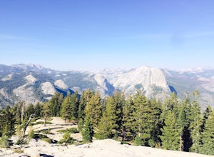
5.02.15 mi / 400 ft gainOne of the most popular places in Yosemite for sunset is Glacier Point, but by walking one mile from the trailhead, the crowds quickly dissipate. Sentinel Dome is great for all ages since the trail is short and not too steep. Park at the Sentinel Dome trailhead, about 3 miles from the end of Glac...Read more -
Mariposa County, California
Sentinel Dome and Taft Point Loop
5.05.17 mi / 1076 ft gainSENTINEL DOME & TAFT POINT TRAILHEAD: About an hour drive from Yosemite Valley campgrounds. This trailhead is an intersection of the starting point of the Taft Point trail and Sentinel Dome trail. It is a short walk (and visible) from the parking lot. In doing both trails, it would be an esti...Read more -
Groveland, California
Rainbow Pool
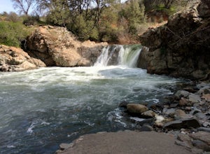
4.5Finding Rainbow Pool is a little tricky, since it is off the side of a highway, but when you find it there is parking and bathrooms. There is a easy walkway to get down to the pool itself, and trails to climb to the top to slide or jump off the rocks. Many people tend to fish up top underneath th...Read more -
Tuolumne County, California
Hike the South Grove Trail in Big Trees SP
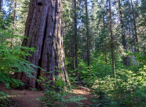
3.75 mi / 560 ft gainThe South Grove Trail of Calaveras Big Trees State Park sees far less traffic than the North Grove due to its increased mileage and distance from the park entrance. The trail starts at the South Grove Trail head which is located nine miles east of the entrance on the main park road. The trailhead...Read more -
Markleeville, California
Snowmobile at Hope Valley Sno-Park
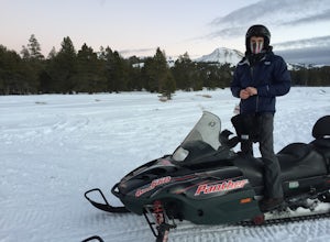
Book a snowmobile trip through a local adventure center (we love Lake Tahoe Adventures) or bring your own gear. Don't forget to grab permits ahead of time if you come on your own (more info here.) Drive (from anywhere) to Highway 88 and the snow park entrance is on the south side of the highway. ...Read more -
Mariposa County, California
Hike to Turtleback Dome
1.4 mi / 350 ft gainTurtleback Dome will provide you with views of southern Yosemite and the Valley in a less crowded area. This hike on a service road is relatively easy with a slight elevation gain over the entire 0.7 miles. To get to the Trailhead, take Wawona Road north towards the valley. Use the referenced poi...Read more -
Lee Vining, California
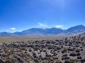
Hike Panum Crater Trail
3.3 mi / 874 ft gainIf you are visiting Mono Lake, the Panum Crater Trail is not to be missed! From 395, take highway 120 east for about 2.5 miles. Look for a small wooden sign for Panum Crater and turn left onto a dirt road. If you reach the turn-off to the South Tufa Area, you have gone too far! After about a mile...Read more -
Arnold, California
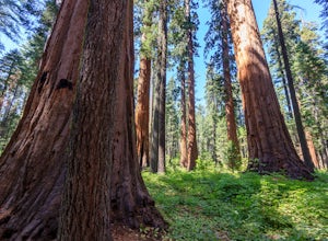
Hike the North Grove Trail in Calaveras Big Trees SP
5.01.7 mi / 40 ft gainWhen thinking of the iconic Sequoias of the Sierra Nevada, one usually thinks of Yosemite and Sequoia National Park. However, there is a often forgotten area of Giant Sierra Redwoods that gets far less traffic than the more popular groves. The North Grove Trail takes you through a grove of over 1...Read more -
Mariposa County, California
Backpack to Lower Ottoway Lake
32 mi / 2400 ft gainThe hike begins at Mono Meadows trailhead along Glacier Point Road, first descending 2.8 steep miles to Illilouette Creek. Above the Illilouette Junction, take in views of the Valley's granite domes before beginning the post-burn forested slog. The trail covers an additional 10 miles of relativel...Read more -
Alpine County, California
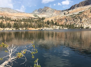
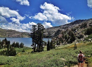
Hike to Round Top Peak
5.09 mi / 1821 ft gainThis hike begins at Carson Pass which is accessible from Highway 88. The trail leaves from the parking lot (parking requires a fee of $5) and is easy to follow. After about a mile, you'll pass Frog Lake on the left, which is a nice place to stop for a quick snack.Continue along the trail and stay...Read more

