Owens River, California
Top Spots in and near Owens River
-
Inyo County, California
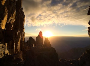
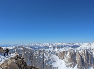
Summit of Mt. Whitney
5.020.85 mi / 6100 ft gainMt. Whitney is the highest peak in the contiguous United States. It stands over 14,500ft high at its peak (elevation gain of 6100') and it sure feels like it when you are up there. Getting There Located just West of Lone Pine, CA you take Whitney Portal Road West for 13 miles all the way to its...Read more -
Inyo County, California
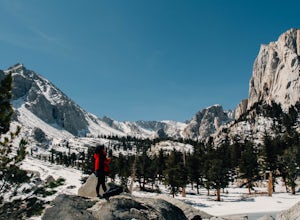
Lone Pine Lake via Mount Whitney Trail
5.05.88 mi / 1883 ft gainFrom the parking lot at the end of Whitney Portal Road, look for the trailhead, which is marked with a wooden "gate" that shows the map and description of the trail. Starting out at 8,350 ft in elevation, the trail begins a series of switchbacks that lead you into the Sierra Nevada. Take more br...Read more -
Inyo County, California
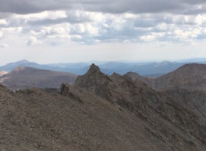
Summit Mount Whitney via the Mountaineers Route
5.05 mi / 6600 ft gainWith over 6,600 feet of elevation gain and class 4 climbing, this is not for the casual hiker, but can provide an excellent challenge to a budding mountaineer.Park your car at Whitney Portal, 12 miles west of the town of Lone Pine, and start up the main Whitney Trail. After 1 mile you will encou...Read more -
Inyo County, California
Scramble up Mt. Muir
5.018.5 mi / 6200 ft gainFrom the Whitney Trail - beyond trail crest - you will see a big cairn (right side). If you make it to the first "window of Mt. Whitney" you have gone too far. The cairn marks the start of an class 2 use trail up to the Mt. Muir headwall.The headwall is a fun climb with good handholds and has lit...Read more -
Inyo County, California
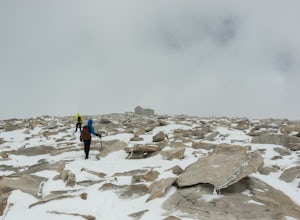
Winter Summit Mt. Whitney
22 mi / 6500 ft gainDay 1: We arrived at the Lone Pine Visitors Center at the intersection of HWY 395 and HWY 136 just south of Lone Pine, CA. We issued ourselves our overnight permits to climb Mt. Whitney and picked up our Wag Bags. You can self issue yourself the free permit Nov. 2 through Apr 30. Climbing during ...Read more -
Tulare County, California
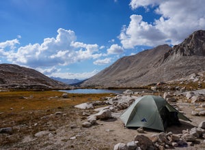
John Muir Trail: Camping Above Guitar Lake
Plan your last night to be spent near Guitar Lake at one of the unnamed lakes just a half mile above it along the trail. You'll find sun late into the afternoon and it serves as a great basecamp to hit Mt. Whitney for sunrise early on your final morning on the JMT.Find out everything you need to ...Read more -
Mammoth Lakes, California
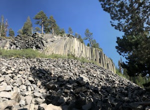
Devils Postpile Loop
5.01.28 mi / 243 ft gainDevils Postpile Loop is a loop trail that takes you by a river located near Mammoth Lakes, California.Read more -
Mono County, California
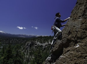
Rock Climbing at Clark Canyon
5.0Good quality volcanic tuff? That may somewhat of a contradiction, but nevertheless, Clark Canyon is indeed one of the best pocketed playgrounds in the Mammoth area.Be advised, however, that it is a little tricky getting there, and in certain spots you may need high clearance (a Prius won't make i...Read more -
Tulare County, California
Hike to the Summit of Big Baldy, Kings Canyon National Park
4.55 mi / 650 ft gainThis short and easy trail to the summit of Big Baldy in Kings Canyon National Park is not to be missed if you are in the area.The trail winds through forest and boulders as it climbs the north shoulder of Big Baldy. When you think you have reached the end, and you see people sitting down with the...Read more -
Lone Pine, California
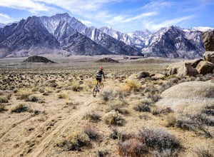
Mountain Bike Alabama Hills Loop
5.014.7 mi / 1906 ft gainThis 14.7 mile loop has some fun single track descents through the gorgeous Alabama Hills. It kicks off with a climb up the road, which can easily be shuttled if you have more than one car or someone to brave a hitched ride up the road. From the trailhead start, you'll encounter quite a bit of l...Read more -
Lone Pine, California
Rock Climb the Candy Store
The Candy Store is a group of boulders and small spires with around 30 climbing routes ranging from 5.6 to 5.11. The majority are trad routes with a significant portion toprope and a couple of sport. The major features/boulders are: First BoulderThe GumdropLollipop BoulderRock Candy TowerSecond B...Read more -
Hume, California
General Grant Loop Trail
0.58 mi / 171 ft gainGeneral Grant Loop Trail is a loop trail that takes you by a river located near Cedar Grove, California.Read more -
Hume, California
Walk the General Grant Tree Trail
5.00.5 miThe trailhead starts at the back of the parking area, a sign will direct you.This short yet beautiful walk will lead you past amazing sights. Starting counter clockwise you will quickly pass the Fallen Monarch. Feel free to walk inside this massive fallen tree. As you continue you soon reach G...Read more -
Tulare County, California
Hike the Sugar Bowl Loop in Kings Canyon NP
4.56.5 mi / 1480 ft gainFirst and foremost, to get to this trailhead you need to drive down a 2-mile, one lane dirt road that is quite steep. It is highly recommended you do this in an AWD or 4WD vehicle, especially since the road can be muddy from snowmelt or after a recent rain. We have a 2WD car but used chains for e...Read more -
Hume, California
Camp at Sunset Campground in Kings Canyon National Park
Sunset Campground is minutes away from the King's Canyon National Park entrance. There are a total of 150 sites (2 group campsites) at this campground which can be reserved here. There are several bathroom, water faucets and even an amphitheater. Each campsite comes with a bear locker, picnic tab...Read more -
Shaver Lake, California
Balsam Forebay
4.01.05 mi / 62 ft gainAccess to the forebay starts at the trail head from the parking lot 6,700 ft up, also from the parking lot there is access to two different sets of boulder patches separate from the ones encountered along the hike in. Hike Start the 1 mile out and back hike from the parking lot following the t...Read more

