Orcutt, California
Looking for the best hiking in Orcutt? We've got you covered with the top trails, trips, hiking, backpacking, camping and more around Orcutt. The detailed guides, photos, and reviews are all submitted by the Outbound community.
Top Hiking Spots in and near Orcutt
-
San Luis Obispo, California
Mountain Bike Cuesta Ridge
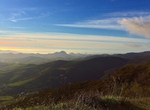
5.07 mi / -1600 ft gainStart at the parking lot directly off of Highway 101, head up TV tower Road for 2.8 Miles and a 900' climb from 1500' to 2400'. The trail is an old fire road that has degraded over the years and is full of potholes. Starting October 2015, the road has been closed to vehicles as its being repaved ...Read more -
Goleta, California
Camp at El Capitan Canyon
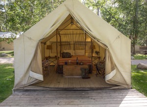
5.0El Capitan Canyon is a gorgeous collection of permanent tents, yurts and cabins located across the highway from El Capitan State Beach and its campground. It's also the perfect place to ease your friends or loved ones into the world of camping. We all have that special person in our life who we'...Read more -
San Luis Obispo, California
Eagle Rock Nature Trail
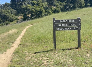
4.01.66 mi / 430 ft gainEagle Rock Nature Trail is an out-and-back trail where you may see beautiful wildflowers located near San Luis Obispo, California.Read more -
San Luis Obispo County, California
Camp at Montaña de Oro State Park
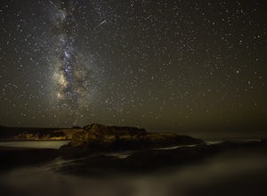
5.0Located about 7 miles south of Morrow Bay, follow Los Osos Valley Rd into the state park. Watch for the signs to park, as you will be cited after 10pm.The campground is located just across the road from the famous Spooner's cove, but there are any number of trails and hikes you can enjoy (check ...Read more -
San Luis Obispo County, California
Montaña de Oro Bluff Trail
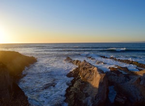
4.02 mi / 302 ft gainThe Bluff Trail is a simple walk that takes you along the coast in Montaña de Oro. The trailhead is located just past Spooner's Cove and has parking on both sides of the road. The path is paved, making it easily accessible for anyone who wants to enjoy these incredible views. If you're feeling a...Read more -
Santa Margarita, California
Photograph Wildflowers at Carrizo Plain National Monument
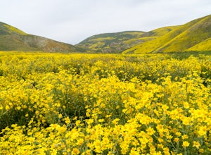
5.0Driving in from Hwy 58 East, you will be passing through a grapevine, and through some hills. Once you hit the Seven Mile Road, you will start to see fields of yellow flowers all around you - this is where the adventure starts. Just continue to drive along the road until you find a great spot to ...Read more -
Morro Bay, California
Quarry and Park Ridge Trail Loop
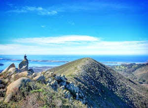
4.03.04 mi / 961 ft gainPark Ridge is a double peaked ridge, elevated at 911ft, which stands next to Cerro Cabrillo, one of the Nine Sisters. The stunning 360* degree views at the top of Morro bay, Los Osos and San Luis Obispo, make this hike worth exploring. There are two ways to access the top. Park Ridge Trail takes...Read more -
Santa Barbara, California
Hike to Knapp's Castle
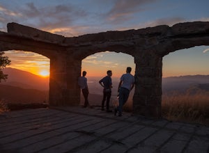
4.20.8 miOne of the many hidden gems near Santa Barbara, Knapp's Castle is an abandoned home built in 1916 by George Knapp. Finding the trailhead can be difficult because it's not clearly marked and the road it's starts from is long, winding and narrow. Coming from the 154, turn right on East Camino Cielo...Read more -
Santa Barbara, California
Red Rock Pools
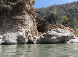
0.89 mi / 10 ft gainRed Rock Pools is a relatively popular swimming hole located along the Santa Ynez River about an hour outside of Santa Barbara, California. The trail to the swimming hole is relatively short, but more pools can be found if you follow the Gibraltar Trail down to the Gibraltar Dam (an additional ...Read more -
Cayucos, California
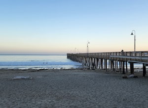
Cayucos Pier Trail
5.00.35 mi / 30 ft gainCayucos Pier Trail is an out-and-back trail where you may see beautiful wildflowers located near Cayucos, California.Read more -
Santa Barbara, California
La Cumbre Peak via Tunnel Trail
9.96 mi / 3310 ft gainTunnel Trail is a great way to get to the top of La Cumbre Peak. You get to the trailhead by taking Tunnel Road until it dead ends at a large water tower, there you can park your car and start on foot. You take Spyglass Ridge Road up which is a paved fire road until it becomes dirt when you get o...Read more -
Santa Barbara, California
Inspiration Point
4.03.82 mi / 1109 ft gainHike up the 3.5 mile trail to an unbeatable vista that will leave you smiling! This hike has a steady uphill climb from the trailhead off of Tunnel Rd into Los Padres National Forest. Keep in mind this trail can get pretty crowded on weekends, so you're best to be at the trail early in the mornin...Read more

