Morro Bay, California
Morro Bay in California is a must-visit for outdoor adventures. The top attraction is the Black Hill Trail, a 0.6-mile hike with a scenic view of the bay, perfect for all skill levels. The trail is primarily used for hiking, walking, and bird watching. Another must-visit is the Morro Bay State Park, with its saltwater marsh and heron rookery. The park offers bird-watching, fishing, and sailing. Near Morro Bay, Montaña de Oro State Park has sandy beaches, coastal plains, and canyons. This park is best for hiking, mountain biking, and horseback riding. For a unique outdoor activity, visit the Elfin Forest, home to rare plants and animals. The best Trails and Outdoor Activities in Morro Bay provide a unique mix of sea and land adventures.
Top Spots in and near Morro Bay
-
Paso Robles, California
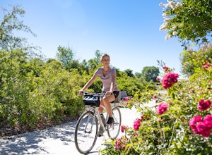
Bike the Salinas River Trail
2 mi / 200 ft gainThe Salinas River Walk in Paso Robles is one of the first sections of a planned 30 mile river trail extending from Santa Margarita in the south to San Miguel. The trail can be accessed at several places, primarily at the south end at Lawrence Moore Park at the end of Riverbank Lane where there i...Read more -
Paso Robles, California
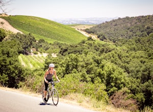
Bike Peachy Canyon
10.5 mi / 2200 ft gainPeach Canyon is the *the* iconic cycling road in the Paso Robles area, beginning downtown and connecting with many other roads in the mountains west of town making for numerous beautiful loops through vineyards, orchards, and black oak groves. Peachy Canyon Road begins at Olive and 6th Street and...Read more -
Cambria, California
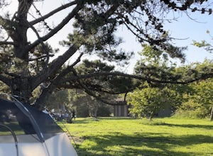
Camp at San Simeon State Park
4.0San Simeon has two campgrounds to choose from – San Simeon Creek Campground has 115 campsites for tent or RV camping. Sites have fire rings and picnic tables, and nearby there is firewood for sale. Your other choice is the primitive Washburn Campground, located 1 mile inland. From this plateau, y...Read more -
Santa Margarita, California
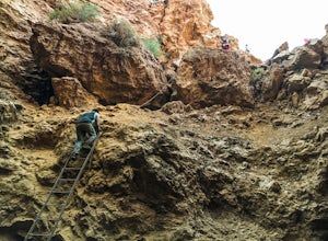
Rinconada Mineral Mines
1.32 mi / 472 ft gainMy friends and I recently visited this abandoned mercury mine. The site was cleaned-up by the EPA many years ago, but much of the old equipment remains. Up the hill from the equipment are several deep cuts in the earth and a humongous hole in the ground. The sediment at edges of this hole are VER...Read more -
Oceano, California
Camp at Pismo State Beach
4.7Hiking along nature trails, swimming, and surf fishing are all possible here, including wheelchair accessible fishing at Ocean Lagoon. Facilities consist of fire rings, restrooms, and showers. Restaurants are not far from the campground, as well. Make your reservation here.Read more -
Oceano, California
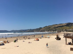
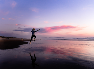
Catch a sunset at the Oceano Dunes
Driving on the beach is fun, and there are few places in California where you can legally do it. Just south of Pismo Beach you'll find Oceano Dunes. Pay the $4.00 entrance fee and drive your car right onto the beach. Keep an eye on tides and watch out for deep sand and sneaker waves! You won't be...Read more -
Arroyo Grande, California
Explore the Guadalupe-Nipomo Dunes
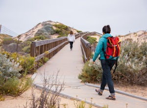
The Guadalupe-Nipomo Dunes and nearby Lake Oso Flaco are home to many endangered and threatened species of plants and animals. A beautiful, short boardwalk takes you from the parking lot, over Lake Oso Flaco, and through the dunes before arriving at the ocean. Enjoy the local wildlife and abundan...Read more -
Paso Robles, California
Kayak Lake Nacimiento
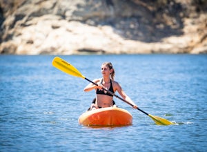
Lake Nacimiento near Paso Robles, CA is a gorgeous reservoir used for kayaking, paddle boarding, and all manner of water sports. To get there, from Highway 101 take the 24th street exit in Paso Robles west till it turns into Lake Nacimiento Drive. Lake Nacimiento Drive will eventually turn into G...Read more -
Paso Robles, California
Hike the Shoreline Trail
1.05.5 mi / 1100 ft gainThe Shoreline Trail on Lake Nacimiento near Paso Robles, CA is a 5.6 mile trail used for hiking and trail running and located near Lake Nacimiento Resort. To get there, from Highway 101 take the 24th street exit in Paso Robles west till it turns into Lake Nacimiento Drive. Lake Nacimiento Drive w...Read more -
Paso Robles, California
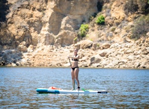
Stand Up Paddle Board at Lake Nacimiento
Lake Nacimiento near Paso Robles, CA is a gorgeous reservoir used for kayaking, paddle boarding, and all manner of water sports. To get there, from Highway 101 take the 24th street exit in Paso Robles west till it turns into Lake Nacimiento Drive. Lake Nacimiento Drive will eventually turn into G...Read more -
San Simeon, California
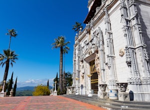
Explore Hearst Castle
4.5Hearst CastleYou always hear about it but rarely do you make the necessary full day stop to visit the castle with Big Sur just around the corner.Hearst Castle, located high above the ocean, was the creation of two extraordinary individuals, William Randolph Hearst, and architect Julia Morgan.They...Read more -
San Simeon, California
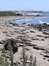
Elephant Seal Vista Point
5.0Elephant Seal Vista Point is a favorite place to see the elephant seals. If you’re in the area and have the opportunity, it's a must see. During the Spring, the adult elephant seals and the baby seals are out. Nearby are easy, clearly marked, walking paths, along the cliffs edge. Dogs are not all...Read more -
San Simeon, California
Elephant Seal Vista Point Trail
5.05.27 mi / 184 ft gainElephant Seal Vista Point Trail is an out-and-back trail that provides a good opportunity to view wildlife located near San Simeon, California.Read more -
San Simeon, California
Ragged Point Trail
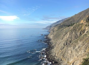
4.50.81 mi / 249 ft gainRagged Point is a quick stop off Hwy1 in Big Sur. It offers amazing vistas of where the mountains meet the ocean. There are scenic spots overlooking both the North and the South. The southern vista overlooks San Carpoforo Creek. Big Sur is truly one of the most beautiful places in California, and...Read more -
Big Sur, California
Salmon Creek Falls
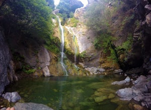
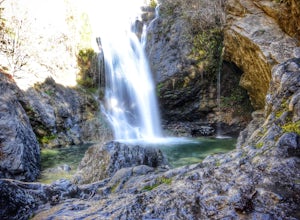
5.00.29 mi / 102 ft gainThe trailhead to Salmon Creek Falls is located along a pullout just 45 miles south of Pfieffer Burns State Park on the Highway 1. The falls are only about .25 miles from the trailhead, perfect for a quick visit if you are already driving through Big Sur. Though the Salmon Creek Trail continues on...Read more -
Big Sur, California
Salmon Creek Trail to Spruce & Estrella Camps
4.56.07 mi / 1919 ft gainFeel free to hike Salmon Creek Trail at your own pace – you can choose to turn back at any point, or at the Spruce (2 miles in) or Estrella (3.25 miles in) sites. The trail leads to open vistas of the coast, giving stunning views of the cliffs and ocean. Around 2 miles in, follow the fork to the...Read more

