Monrovia, California
Looking for the best photography in Monrovia? We've got you covered with the top trails, trips, hiking, backpacking, camping and more around Monrovia. The detailed guides, photos, and reviews are all submitted by the Outbound community.
Top Photography Spots in and near Monrovia
-
Ventura County, California
Hike the Upper Las Virgenes Canyon Open Space Preserve Trail
8.6 mi / 1851 ft gainThe most popular point of entry is through the Victory Trailhead, which has ample parking. You can park on the street or you can pay $3 to park at the trailhead parking lot. You can also enter at the Upper Las Virgenes Canyon Trailhead at the northern end of Las Virgenes Canyon Road in Calabasas....Read more -
Lancaster, California
Saddleback Butte State Park Loop
0.58 mi / 46 ft gainSaddleback Butte State Park is a state park in the Antelope Valley of the western Mojave Desert. It’s oftentimes looked over, but you’d be surprised what you can find there. Definitely a place to stop. It is located east of Lancaster. It can get hot so make sure to bring lots of water and wear su...Read more -
Newport Beach, California
Bodysurfing and Photography at The Wedge
4.8Beginning at the east end of the Balboa Peninsula The Wedge's main power house is the Newport Harbor Jetty. When the right south swell hits the jetty it reflects back creating a massive back wash. When the back wash hits an incoming set you have the notoriously heavy wedge-like shore break thunde...Read more -
Newport Beach, California
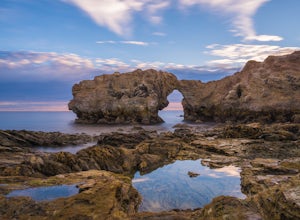
Exploring the Arches at Little Corona del Mar
4.9Little Corona del Mar Beach is a secluded beach located on Poppy Avenue across Ocean Boulevard in Corona del Mar. Known as one of the less crowded beaches in the area, this spot is the perfect place to chill for the day or photograph a sunset. You will find plenty of free street parking in the ne...Read more -
Newport Beach, California
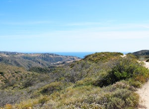
Bommer Ridge from the Pacific Ridge Trailhead
7.54 mi / 394 ft gainThe Bommer Ridge West Trailhead aka The Pacific Ridge Trailhead begins at the edge of Ridge Park Road, overlooking CA State Highway 73, and marks the northwest entrance to the Laguna Coast Wilderness and its neighbor, Crystal Cove State Park. From the well-marked trailhead follow the trail south...Read more -
Newport Beach, California
Explore Deer Canyon
6.9 mi / 1489 ft gainThe Deer Canyon Loop Trail is an easy drive from Orange County and Newport Beach. In the spring, wildflowers are abundant along the trial. This is a favorite spot for trail runners, hikers, and mountain bikers. The trail is kept in great condition year-round and is very wide. There is very little...Read more -
Malibu, California
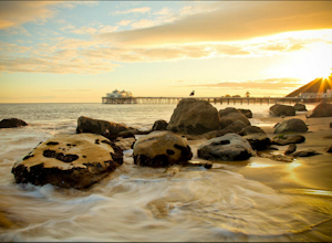
Photograph the Iconic Malibu Pier
3.2Less than a mile South from the small town center, Malibu Pier stretches out into the Pacific. The Pier has been in Malibu since 1905 and though much of Malibu has been built up around it, it has remained quite similar to when it was first constructed. You can either pay for parking right at the ...Read more -
Crestline, California
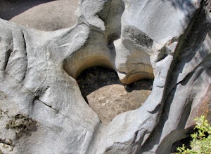
Hike the Heart Rock Trail
4.51.8 miThis short but nice hike near Crestline, CA in the San Bernadino Forest is one for the whole family. Although finding the trailhead/parking lot can be a bit confusing, it is definitely worth it. Driving in from the Inland Empire/LA Area, follow The Rim of the World Trail (SH18) until you see the...Read more -
Santa Clarita, California
Hike to Saint Francis Dam Disaster National Monument
3.2 mi / 153 ft gainThe Saint Francis Dam Disaster National Monument, established in 2019, memorializes the site where the Saint Francis Dam, built by famed engineer William Mulholland, collapsed in 1929, tragically killing more than 400 people in the middle of the night as a 150+ foot wave of water crashed through ...Read more -
Agoura Hills, California
Rock Climbing in Malibu Creek
A great day trip! Referred to by many as the "Yosemite of Southern California," Malibu Creek offers a huge selection of bolted sport routes on generously pocketed volcanic rock. This is the perfect place to bring a first time climber or even your most seasoned climbing buddies. Routes range from ...Read more -
Agoura Hills, California
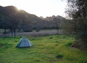
Camp at Malibu Creek State Park
5.0Malibu Creek State Park boasts over 8,000 acres of oak woodlands, grassy hills, dramatic peaks and serene meadows. It's an outdoor lover's paradise and only a short drive north from most of Los Angeles. Before it was a park, the land was owned by 20th Century Fox Studios and used in productions...Read more -
Agoura Hills, California
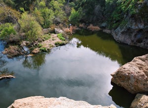
Malibu Creek Rock Pool
3.92.04 mi / 105 ft gainThe trail starts out from the main parking lot past the ranger station at Malibu Creek State Park. Begin hiking west on Crags Road, a well maintained trail that meanders along the creek. As you walk, you'll pass under large oak trees and enjoy expansive views of the Santa Monica Mountains. Aft...Read more -
Riverside, California
Hike Two Trees Trail
2.5 mi / 977 ft gainParking is free at the trailhead, but there is only room for approximately five cars. The trailhead is on the edge of a neighborhood, so you can park there if needed. From the parking lot, head west, and immediately veer right and across the bridge. If you go left at the first fork, you can stay ...Read more -
Laguna Beach, California
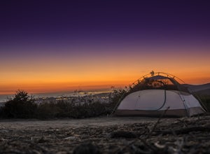
El Moro Canyon Trail to Lower Moro Campground
3.56.37 mi / 997 ft gainLocated off of Pacific Coast Highway in Laguna Beach is Crystal Cove State Park. There are three primitive sites located in Crystal Cove: Deer Canyon, Upper Moro, and Lower Moro. The site I stayed at was Lower Moro campground. All three of these sites require the backpacker to hike everything in...Read more -
Laguna Beach, California
Hike Willow Canyon, Laguna Coast Wilderness Park
5.06.7 mi / 1208 ft gainThis hike has been a must do since I was young. Do you love scenic views of the ocean and wildlife? You'll see plenty of both, from hawks searching for food to squirrels and deer running through the brush. This is my favorite route in this area but there are plenty of other trails to shorten or a...Read more -
Aliso Viejo, California
Top of the World via West Ridge Trail
5.04.76 mi / 443 ft gainDirections to get here are pretty straight forward via the map. You park your car in a residential neighborhood along the street, and from there, you can't miss the entrance. The trail is paved for the first 100yds or so and after you make a right turn at the top, you'll be on dirt and sand the r...Read more

