Mammoth Lakes, California
Nestled in the heart of the Sierra Nevada, Mammoth Lakes, California, is a paradise for outdoor enthusiasts. For hikers, the John Muir Trail offers breathtaking views of the wilderness, while the Crystal Lake Trail is a hidden gem for those seeking tranquility. The Twin Lakes Campground is a favorite among campers, with its serene setting and easy access to fishing spots. There are also plenty of opportunities for mountain biking, rock climbing, and backpacking. For water sports, hop on a kayak or try stand-up paddleboarding on the pristine waters of Lake Mary. The San Joaquin River is a hotspot for thrilling rafting adventures. If you're up for a unique experience, Mammoth Mountain's Adventure Center offers zip-lining that will give you a bird's eye view of the stunning landscape. Whether you're a seasoned adventurer or a novice, Mammoth Lakes has something for everyone.
Top Spots in and near Mammoth Lakes
-
Mariposa County, California
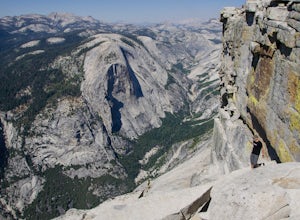
Clouds Rest to Half Dome
18.52 mi / 4000 ft gainBecause this is not a loop, you will need to figure out a shuttle situation. There are two options for this: 1. Drive your car to the Tenaya Lake Trail Head, and leave it parked there. Once you reach the Valley you will be car-less, but then the next day you can take one of the free shuttles u...Read more -
Yosemite Valley, California
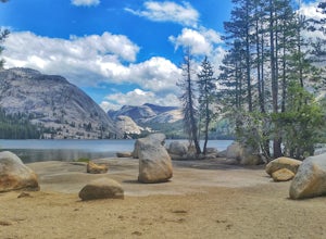
Tenaya Lake
4.63.08 mi / 0 ft gainTenaya Lake is located alongside Tioga Road in the park's Tuolumne Meadows region. There is a family-friendly trail that surrounds the lake. Though some spots along the trail on the western shore may require fording the waters, the 2.5-mile trip is an easy hike for all to enjoy. Many others pre...Read more -
Mariposa County, California
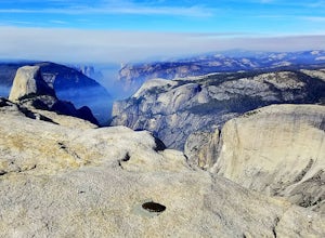
Half Dome & Clouds Rest Loop
22.7 mi / 7000 ft gainStart and end this loop from the Sunrise Lakes TH along the Tioga Road, and in between you'll travel over 26 miles through Yosemite's backcountry gaining and losing over 7,000 feet in elevation. Unlike typical mountain summit hikes where it's climb climb climb to the top and then descend, this w...Read more -
Mariposa County, California
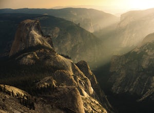
Sunrise Lakes to Clouds Rest
4.718.93 mi / 1775 ft gainStart out at the Tenaya Lake Trailhead, where you can head directly onto the trail for Clouds Rest or you can branch off after 2.7 miles to Sunrise Lakes. This allows you to break up the hike, spend a night relaxing and help you have an early start back on the trail. Once re-connected to the Clo...Read more -
Wawona, California
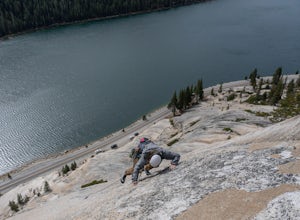
Climb Hermaphrodite Flake to Boltway in Yosemite National Park
This is a great 5.7/5.8 linkup for anyone looking for an intermediate climb in Tuolumne. Always read through beta on Mountain Project and Super Topo and having the book on hand is always a good idea. To find the route, this photo is super helpful. The flake is pretty obvious, it's the one feature...Read more -
Mariposa County, California
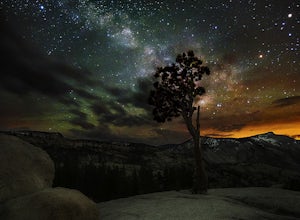
Olmsted Point
5.00.4 miJust off the side of the highway, look for the pullout for Olmsted Point on your Map. There is a parking area with about 25 parking spots and the lookout point with the tree is right next to there. Come in the summertime and during a new moon to get the best views of the Milky Way. Never crowded,...Read more -
Lee Vining, California
Hike to the Waterfalls of Lundy Canyon
3 mi / 200 ft gainIn order to get to the trail you first have to drive past the beautiful Lundy Lake nestled in deep canyon. When the pavement ends continue for a couple miles as the scenery gets more amazing passing two beaver ponds and an Indian head. The hike begins where the dirt road ends in a loop. The trail...Read more -
Bishop, California
Camp at Pleasant Valley Pit
3.5Pleasant Valley Pit offers 75 sites, fires outside camping area need a permit, a dumpster is in the campground, 4 vault toilets, no water, some tables, fire rings. To get here, head 0.5 miles off of the Pleasant Valley Road. $2 per vehicle. Learn more at blm.govThis campground is dog-friendly, bu...Read more -
Mariposa County, California
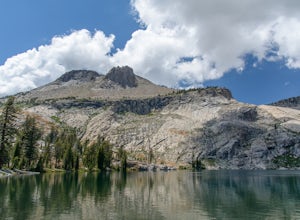
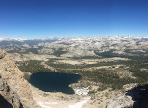
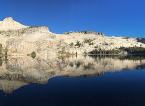
May Lake Trail
4.02.34 mi / 489 ft gainMay Lake is a stunning, serene subalpine lake that rests at the base of Mt. Hoffmann. The May Lake turnoff is located four miles past Tenaya Lake. From the turnoff, it's 1.8 miles to the trailhead parking lot. During summer time, I will recommend getting to the parking area early to get a spot ...Read more -
Mariposa County, California
Mt. Hoffman via May Lake Trailhead
5.55 mi / 2140 ft gainThe May Lake trailhead is at the end of a 2-mile unpaved road leading north from Tioga Road. The trailhead has pit toilets and bear lockers. (Please be sure to store any food, garbage, scented items, and empty coolers in these lockers while hiking!) After hiking an easy 1.3 miles, you'll arrive ...Read more -
Mariposa County, California
Hike Mt. Hoffmann via the East Chute
6 mi / 3000 ft gainThis is a solid, day long trip. It is a great hike with a bit of a scramble on the way up to the summit massif and then again at the nearly 11,000-foot peak of Mount Hoffmann. You will have what John Muir described as his favorite view of Yosemite. You can look down onto Half Dome and across the ...Read more -
Bass Lake, California
Climb and Camp at Shuteye Ridge
5.0The Journey to your final destination can get a little tricky once you get on the dirt roads. From the Bay Area it will take you about 3 hours to get into Oakhurst, then another hour to get to the Wilderness Area simply because of the windy and not maintained roads. On that note I would suggest t...Read more -
Bishop, California
Photography in the ButterMilks
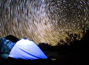
5.0The Eastern Sierras have some of the most spectacular views in the world. This area in particular is known for its rock climbing. It also has amazing opportunities for photographers.The nights during a new moon are incredibly dark and create great astro photography shots. During the day, the l...Read more -
Bishop, California
Bouldering In The Buttermilks
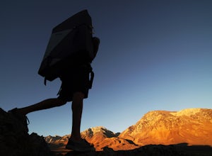
5.0The Buttermilks is a historical climbing area that is home to some of the worlds most famous rock climbs. It is located at the base of the Eastern Sierras near Bishop, CA. In this region there are 3 main bouldering areas: The Happies, The Sads, and The Buttermilks.The Buttermilks are massive gr...Read more -
Lee Vining, California
Backpack Virginia Lakes to Green Creek
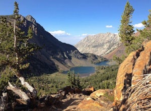
10.5 mi / 1234 ft gainKeep in mind that this is a point to point hike, so you will need to park a vehicle at Green Creek trailhead in Bridgeport as well as your start point at Virginia Lakes Resort.Starting at 9,886' at The Virginia Lakes Trailhead, you will begin by heading Northwest towards Virginia Pass. During yo...Read more -
Bridgeport, California
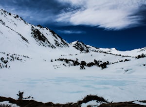
Snowshoe to Cooney Lake
3.5 miWhen it's winter time, one of the best things you can do is experience the snow in the Eastern Sierra! If you've ever been hiking and/or backpacking in the Sierra, you know it's one of the most beautiful mountainous ranges in the US. Driving up the Hwy 395 North past Conway Summit, turn left on ...Read more

