Loch Leven Lakes, California
Top Spots in and near Loch Leven Lakes
-
Glenbrook, Nevada
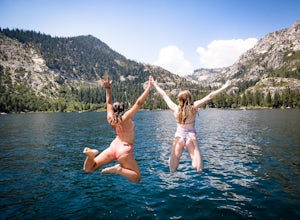
Zephyr Cove on the eastern shore of Lake Tahoe is a fantastic starting point for a host of water sports and activities including a boat ride across Lake Tahoe to explore Emerald Bay.
To get to Zephyr Cove take Highway 50 north for 7 miles out of South Lake Tahoe and turn left into the Zephyr Cove...
Read more
-
Glenbrook, Nevada
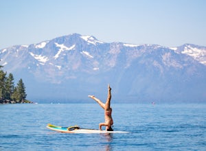
Zephyr Cove on the eastern shore of Lake Tahoe is a fantastic starting point for a host of water sports and activities and given the protected nature of the cove, a great place to do stand up paddle board. Depending on the time of year and the water level on the northern end of the beach there ar...
Read more
-
Glenbrook, Nevada
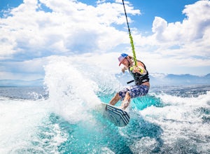
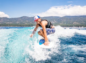
Zephyr Cove on the eastern shore of Lake Tahoe is a fantastic starting point for a host of water sports and activities and given the protected nature of the cove, a great place to wake surf and to *learn* to wake surf
To get to Zephyr Cove take Highway 50 north for 7 miles out of South Lake Tahoe...
Read more
-
Zephyr Cove, Nevada
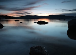
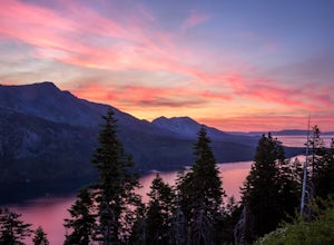
After pulling into the parking it is only a a few minute walk right down to the beach. This place is incredible for sunrise and and sunset. The water is so calm because its tucked back in the cove which gives awesome reflections of the sky in the water. Make sure to bring a tripod and neutral den...
Read more
-
Reno, Nevada
3.0
3.15 mi
/ 312 ft gain
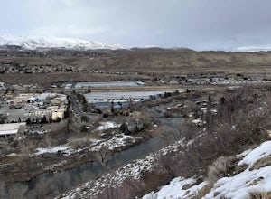
West Plateau Loop is a loop trail that takes you by a river located near Reno, Nevada.
Read more
-
Kyburz, California
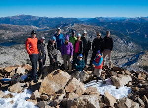
Although it stands only slightly higher than its neighbors, Pyramid Peak nonetheless dominates the Crystal Range atop which it sits. Great views from the summit make this a must-do.The Route: The route is fairly straightforward to Lake Sylvia (see map). Simply follow the well-defined Lyons Cr...
Read more
-
Reno, Nevada
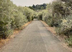
Dorostkar Park Nature Trail is a loop trail that takes you by a river located near Reno, Nevada.
Read more
-
Tahoma, California
4.8
5.29 mi
/ 725 ft gain
Park your car at the Glen Alpine Trailhead adjacent to Lily Lake and southwest of Fallen Leaf Lake. Head west on Glen Alpine Creek Trail passing Lily Lake on your left. After a little over a mile and a half of trekking through the alpine forest and taking in mountain views, you'll arrive at Alpin...
Read more
-
Tahoma, California
5.0
7.96 mi
/ 1496 ft gain
Starting at the Glen Alpine trailhead (best access to Susie Lake): To get to the trailhead, head toward Fallen Leaf Lake in South Lake Tahoe. From HWY 89, turn onto Fallen Leaf Rd and drive past the summer homes and marina until you reach a small firehouse on the left side of the road. You'll fol...
Read more
-
Tahoma, California
This hike starts at the Glen Alpine Trailhead near Fallen Leaf Lake. Because Desolation is a wilderness area, you are required to fill out a day-use permit which can be found at the trailhead. If you are backpacking make sure to obtain an overnight permit either online or at the Taylor Creek Visi...
Read more
-
South Lake Tahoe, California
The easiest way to get to Gilmore Lake is to start at the Glen Alpine trailhead. The trail head is southwest of Fallen Leaf Lake. There is a decently sized parking lot at the trailhead, but parking is also available on the road up. Because desolation is a wilderness area, you must fill out a perm...
Read more
-
South Lake Tahoe, California
Owned by the State of California, Keys Beach sits at the end of a peninsula bordered by the Tahoe Keys marina inlet to the west and the Upper Truckee River to the east. This relative isolation along with its only access being by water or a single trail keeps the beach remarkably quiet relative to...
Read more
-
Reno, Nevada
4.0
1.44 mi
/ 121 ft gain
Upper Chalk Creek Trail is an out-and-back trail located near Reno, Nevada.
Read more
-
South Lake Tahoe, California
The Angora Ridge Fire lookout sits above the serene Fallen Leaf Lake with incredible views of Mt. Tallac and Desolation Wilderness. You can hike, bike or drive to the lookout. This is a great spot to photograph the sunset, as the sky will reflect off both Fallen Leaf Lake and Lake Tahoe. Bring a ...
Read more
-
Penn Valley, California
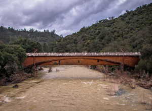
The famed and picturesque Bridgeport Covered Bridge, spanning the width of the Yuba River, was originally built in 1862. It was an integral passage for a freight hauling route from San Fransisco to Nevada. This historic site is now protected and is no longer able to be walked or driven through as...
Read more

