Lee Vining, California
Looking for the best photography in Lee Vining? We've got you covered with the top trails, trips, hiking, backpacking, camping and more around Lee Vining. The detailed guides, photos, and reviews are all submitted by the Outbound community.
Top Photography Spots in and near Lee Vining
-
37.739698,-119.564018
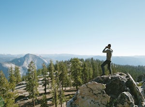
Snow Creek Trail
5.020.43 mi / 2700 ft gainThis is truly a beautiful hike. Although it’s not the easiest, you are rewarded by the views. From the Mirror Lake trailhead (shuttle stop #17), it is 0.9 miles to the Snow Creek trailhead and 1.7 miles to the Snow Creek overlook where you can camp in close proximity. Once you reach the top, you...Read more -
Yosemite Valley, California
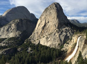
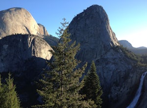
Vernal & Nevada Falls via Happy Isles
4.67.23 mi / 2815 ft gainThis popular hike starts near Happy Isles in Yosemite Valley. The first mile of the trail is paved and almost entirely uphill. You will come to the footbridge which tends to be very crowded. About 0.2 miles beyond the footbridge, the Mist Trail and the John Muir Trail diverge. Follow the Mist Tra...Read more -
Yosemite Valley, California
Half Dome via the Mist Trail
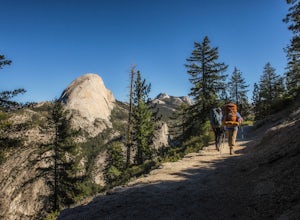
4.815.94 mi / 4800 ft gainBe sure to arrive early early in the morning to beat the crowds or if you want to break up the hike, first-come, first served campsites are available at Little Yosemite Valley Campground - make sure to check out the details in that adventure and obtain a wilderness permit. Even if you are just da...Read more -
Yosemite Valley, California
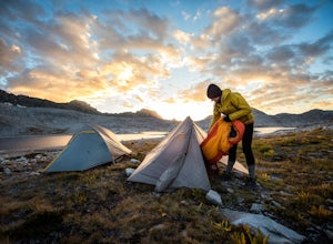
Thru-Hike the John Muir Trail
5.0203.17 mi / 44944 ft gainTo thru hike the JMT is probably one of the sickest trips to do! It's not a heavy commitment like the PCT or AT but it's also no week long vacation from work, backpacking the woods of your local forests either. There's a sweet spot in thru hiking and I believe this trail gives the full taste. You...Read more -
YOSEMITE NATIONAL PARK, California
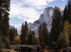
Photograph Stoneman Bridge in Yosemite NP
4.5This location turned out to be one of our favorite unplanned stops in the Yosemite Valley to photograph and explore.Stoneman Bridge was constructed in 1933 and spans 72 feet long. The Merced River flows under this classic stone bridge providing very photogenic reflections, with Half Dome in the b...Read more -
Mammoth Lakes, California
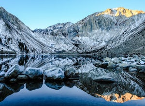
Convict Lake
4.92.46 mi / 56 ft gainIn 1871, a group of inmates escaped from a prison and were ambushed near the lake by a posse who had tracked them down. The inmates escaped the shoot out after killing two of the men in the posse and the lake now had a name – Convict Lake. You won’t witness a wild west shootout here, but if you ...Read more -
Mono County, California
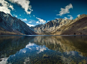
Fishing at Convict Lake
4.3Many people come to Convict lake for the fishing. Convict is located only 2 miles off the main highway in the Eastern Sierras. The lake is clear and pristine with beautiful views. There are various ways to fish here; some rent out boats or bring their own and cruise around the lake fishing. O...Read more -
Mono County, California
Summit Mount Baldwin (12,614')
15 mi / 5000 ft gainDirections The hike for Mount Baldwin starts at the Convict Lake trailhead. The turn off for Convict lake is about 4.5 miles south of the Mammoth Lakes exit along the 395 and roughly 35 miles North of Bishop, CA. Take this exit and follow the road West towards the mountains. Turn right at the ...Read more -
Mariposa County, California
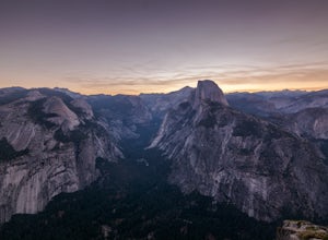
Photograph Yosemite's Half Dome at Glacier Point
4.7Glacier Point gives you a classic view of Half Dome and Yosemite Valley. You can get a different perspective of Half Dome if you jump on any of the trails heading out of Glacier Point. Illilouette Falls trail gives you a different view of Half Dome. This trail is around 4-5 miles round trip fro...Read more -
Mariposa County, California
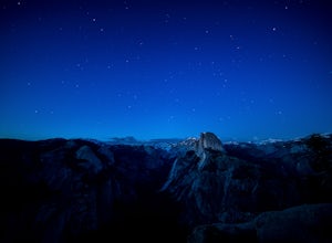
Stargaze and Photograph the Night Sky at Glacier Point
5.0The summer months of June, July, and August tend to provide the best views of the stars, and particularly in August during the meteor showers. Amateur astronomers often gather on Saturdays during the summer, and provide first hand knowledge and guidance. Glacier Point can accommodate hundreds of ...Read more -
Tuolumne County, California
Backpack Grand Canyon of the Tuolumne
5.048.29 mi / 10610 ft gainThis is a rugged overnight backpack into the North country of Yosemite dropping in from Tuolumne Meadows into the Grand Canyon of the Tuolumne. The trail begins at an elevation just under 9,000' and drops to a low elevation of 4,500' almost 19 miles later at Pate Valley. Coming up out of Pate Val...Read more -
Yosemite Valley, California
Sentinel Meadow Cook's Meadow Loop Trail
4.51.99 mi / 85 ft gainThis short, easy walk provides some of the best views of several iconic Yosemite landmarks from the valley floor. If you complete the entire loop, expect to see Yosemite Falls from the Swinging Bridge, Half Dome from Sentinel Bridge (a popular spot at sunset), and the historic Yosemite Chapel. ...Read more -
Mariposa County, California
Backpack to Clouds Rest from Glacier Point
4.023.85 mi / 6942 ft gainStart from Glacier Point around 7,200 feet leaving on the Panoramic Trail. Head down 2 miles to Illilouette Falls (5,800 feet). Once you cross the bridge at Illilouette Falls you go up Panorama Point and head back down to Nevada Falls (5,971 feet). Once you reach Nevada Falls fill up on as much w...Read more -
Yosemite Valley, California
Photograph Moonbows at Yosemite Falls
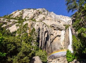
1 miIn spring at Yosemite National Park, a unique phenomenon occurs, called “moonbows.” Seen during the full moon, moonbows are rainbows produced by light reflected off the surface of the moon, and are relatively faint and difficult to detect with the naked eye, but they do appear in long exposure ph...Read more -
Mariposa County, California
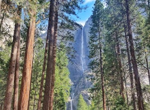
Lower Yosemite Falls
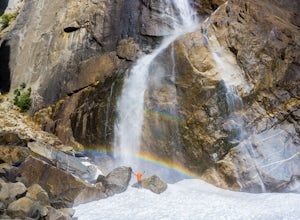
4.81.16 miAt 2,425 feet, Yosemite Falls is the highest waterfall in North America. The falls consists of three sections: Upper Falls, Middle Cascades, and Lower Falls. At 320 feet, Lower Yosemite Falls is one of the most popular attractions at Yosemite National Park. This 1-mile loop is a leisurely walk wi...Read more -
YOSEMITE NATIONAL PARK, California
Rock Climb Penthouse Cracks, Yosemite NP
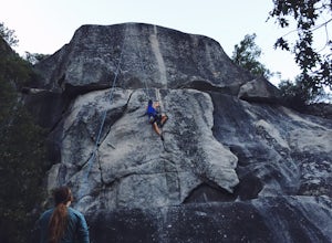
The Penthouse Cracks in Yosemite Valley are a great introduction to crack climbing, in a safe environment. With fixed protection above the routes, you are able to safely top rope these climbs. Featuring a 5.8, two 5.10 climbs, and a 5.11, everyone can find something fun to try.Park at Yosemite Lo...Read more

