Lakeshore, California
Looking for the best hiking in Lakeshore? We've got you covered with the top trails, trips, hiking, backpacking, camping and more around Lakeshore. The detailed guides, photos, and reviews are all submitted by the Outbound community.
Top Hiking Spots in and near Lakeshore
-
Sierra, California
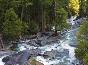
Hike to Mist Falls
4.59 mi / 600 ft gainThe trailhead starts at Roads' End (the end of Hwy 180). Take the Bubbs Creek/Kanawyer Loop Trail and hike east. For the first three miles the trail is relatively flat through an open pine forest. Make sure to look up as there are some great views of the valley. The granite walls on both sides of...Read more -
Sierra, California
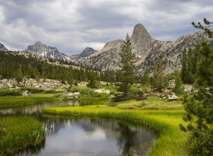
Rae Lakes Loop
5.039.08 mi / 7316 ft gainDay one: After checking in with the park ranger and getting your required permits you will start your hike along a 1.8 mile stretch along the south fork of the Kings River. At this point, people typically go clockwise toward Paradise Valley but you can also go counterclockwise along Bubbs Creek. ...Read more -
Tulare County, California
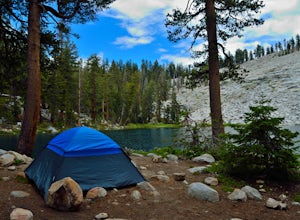
Backpack to Weaver Lake, CA
7 mi / 1075 ft gainThe hike to Weaver Lake begins at the Big Meadows trailhead in Sequoia National Forest (elevation: 7,633 ft.). There is roadside parking at the beginning of the trailhead and more parking available just inside the gate. At the trailhead, there is a vault toilet, trash receptacle, and map of the a...Read more -
Hume, California
Big Stump Loop Trail
5.01.71 mi / 305 ft gainBig Stump Loop Trail is a loop trail where you may see wildflowers located near Dunlap, California.Read more -
Tulare County, California
Jennie Lake via Fox Meadows
4.510.71 mi / 1929 ft gainJennie Lake is a beautiful subalpine lake located in the Jennie Lakes Wilderness just outside of Sequoia National Park. There are no backpacking quota restrictions making this a perfect trip that requires little planning. Your journey starts at the Fox Meadows trailhead on paved Forest Service R...Read more -
Tulare County, California
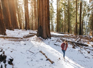
Hike the Sugar Bowl Loop in Kings Canyon NP
4.56.5 mi / 1480 ft gainFirst and foremost, to get to this trailhead you need to drive down a 2-mile, one lane dirt road that is quite steep. It is highly recommended you do this in an AWD or 4WD vehicle, especially since the road can be muddy from snowmelt or after a recent rain. We have a 2WD car but used chains for e...Read more -
Tulare County, California
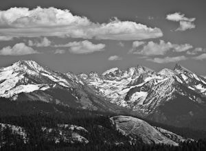
Hike to the Summit of Big Baldy, Kings Canyon National Park
4.55 mi / 650 ft gainThis short and easy trail to the summit of Big Baldy in Kings Canyon National Park is not to be missed if you are in the area.The trail winds through forest and boulders as it climbs the north shoulder of Big Baldy. When you think you have reached the end, and you see people sitting down with the...Read more -
Mono County, California
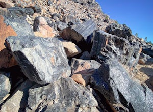
Obsidian Dome Trail
3.01 mi / 75 ft gainObsidian Dome Trail is an out-and-back trail that provides a good opportunity to view wildlife located near June Lake, California.Read more -
Madera County, California
Backpack to Lower Merced Pass Lake
4.023 mi / 880 ft gainLMPL (let's be honest, the full name is a mouthful) is situated just below the crest of Merced Pass, and can be accessed by hiking south from Yosemite Valley, or north from Chiquito Pass. This is a stunning and much less crowded spot to camp, or a great way to access some of the less climbed moun...Read more -
Big Pine, California
Backpack Atop Sawmill Pass
20 mi / 6700 ft gainAt 11,347 ft., Sawmill Pass lies on the Sierra Crest and enters Kings Canyon National Park in the Woods Creek area. Both the John Muir Trail (JMT) and the Pacific Crest Trail (PCT) can be accessed through this pass. The Sawmill Pass trail is a steep and arduous climb, gaining over 6700 feet of e...Read more -
Mono County, California
Snowshoe the Obsidian Dome Trail
6 mi / 300 ft gainThe Obsidian Dome Trailhead provides access to a large network of winter hiking trails through Inyo National Forest. These are marked trails that are groomed on an intermittent basis by the National Forest Service. To find the trailhead and parking area, drive north on highway 395 from Mammoth La...Read more -
June Lake, California
Hike to Fern Lake
5.03.5 mi / 1500 ft gainLess than 30 minutes north of Mammoth Lakes, the beauty of the region is captured even on the drive to get to the trailhead. No bathrooms at the trailhead, however the town of June Lake is a short bit away. Out of the gate, the trail quickly climbs 850 feet in just less than a mile. The way up, w...Read more -
June Lake, California
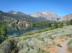
Gull Lake Loop
1.97 mi / 174 ft gainGull Lake trail is one of my favorite hiking spots in the June Lake Loop area. It is a very scenic trail that goes through varying terrains from meadows to marshes to aspen and conifer groves. Trailhead starts at the Mono County Community Center and winds counter-clockwise around the lake to th...Read more -
Inyo County, California
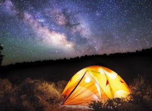
Camp in Ancient Bristlecone Pine Forest
4.0The Ancient Bristlecone Pine Forest is located in Central California quite close to the Nevada Border in the White Mountains. A short drive South from Bishop, you will come to the small town of Big Pine where there are signs leading you left on HWY 168 to the forest. You will need a decent vehicl...Read more -
Inyo County, California
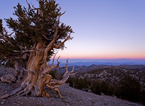
Photograph the Bristlecone Pine Forest
5.0To get to the goods head east out of Big Pine, CA on Hwy 168 into the mountains for 13 miles. Turn left (north) on White Mountain Road to the Bristlecone Pine Forest. The road winds through a beautiful forest of Pinyon Pines and Western Junipers and leads to amazing views of the rugged Sierras. ...Read more -
Inyo County, California
Schulman Grove and Methuselah Grove Loop
5.05.14 mi / 1070 ft gainThe Schulman Grove and Methuselah Grove Loop in the Ancient Bristlecone Pine Forest, located in the White Mountains, is where the 4,847-year-old Methuselah tree grows, the oldest living non-clonal organism in the world. If you're going to make hiking the Methuselah Grove more than a day trip and ...Read more

