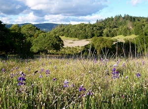
Lafayette, California
Lafayette, California has everything you need for an unforgettable vacation. With its scenic views and must-visit attractions, there are plenty of activities for all types of visitors. The best trails are the Lafayette Ridge Trail, the Briones-Mt. Diablo Trail, and the Diablo Foothills Regional Park. For water activities, the Lafayette Reservoir is the perfect spot for fishing, boating, and swimming. For a unique experience, visitors can take a hot air balloon ride over the area. For a more relaxing adventure, there are numerous wineries and breweries to explore. With so many activities to choose from, Lafayette is the perfect place for a memorable trip.
Top Spots in and near Lafayette
-
Sanborn County Park, California
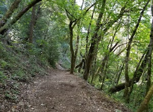
Hike Sanborn County Park via the San Andreas Trail
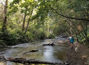
4.04.2 mi / 1282 ft gainThis is a moderately rated 4.2 mile trail that winds through the redwoods west of Saratoga. It features a dirt trail with tall trees and a creek. The hike is very tranquil and there is lot s of greenery. There are big rocks in the creek that can you can sit on. People often meditate here as i...Read more -
Saratoga, California
Skyline-to-the-Sea Trail
4.530.8 miWant to experience one of the bay area's most memorable backpacking trips? We've got the details to get you out on the trail. To start the trek, drop your car at the Castle Rock State Park Parking Lot, which is located ~2.5 miles south of the junctions of Highways 35 and 9 off of Highway 35. Not...Read more -
Saratoga, California
Backpack Castle Rock State Park
4.7Castle Rock Trail Camp has a different policy than other backcountry camps in the area (i.e. campsites along Skyline to the Sea). This campground is open all year and is available on a first come, first served basis. If you can, grab a spot a Frog Flat Camp. To get to the camp, park your car at t...Read more -
Los Gatos, California
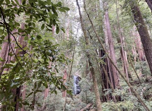
Hike the Saratoga Gap Trail
4.64.7 miThe Saratoga Gap Trail is relatively lightly trafficked trail that is good year round, although waterfalls peak in late winter and spring. Overall, this 4.7 mile partial loop hike is moderate, with about 1000 feet in elevation change. Trailhead elevation is about 3090 feet. The featured hike desc...Read more -
Galt, California
Hike the Cosumnes River Walk Trail
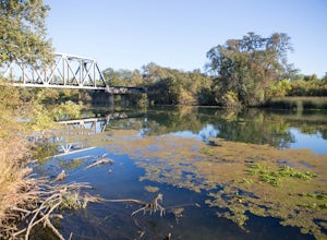
3.1 mi / 16 ft gainThis trail is a short, easy, accessible and beautiful trail for a nice afternoon walk (or photoshoot). I recommend the River Walk Trail (~3 miles). It is flat and easy to walk. There are multiple loops so you can turn back at any time. There are small bridges, access to the water, meadows, e...Read more -
Los Gatos, California
Hike Los Gatos Trail to Jones Trail Loop
3.8 mi / 511 ft gainThis trail winds its way along the Los Gatos Creek and ends at the Lexington Reservoir before looping back to the start. It is 3.8 miles and makes for a great way to get exercise and relax in nature. You can hear the creek as you hike, and can even go down to it. There is a lot of green foliage t...Read more -
Inverness, California
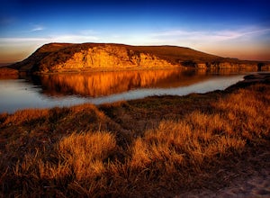
Hike the Estero Trail
5.08 mi / 200 ft gainJune sunshine blazes on your shoulders during this scenic stroll through the Point Reyes Seashore. The trail is alive and awash with colorful wildflowers around every corner.Beginning at the trailhead, just off Home Ranch Road, with a convenient parking lot and bathroom, you'll wade through a hal...Read more -
Mount Hamilton, California
Stargaze at Lick Observatory
3.8Hop on Road 130 heading out of San Jose and follow the winding two lane road up, up, up to to the top of Mt. Hamilton and the Lick Observatory. There are lots of deer, wild turkey, and pigs in the area. If you are lucky you will get to see a herd of deer grazing in a meadow. But be careful that y...Read more -
Santa Rosa, California
Hood Mountain Summit Via Lower and Upper Johnson Ridge Trails
5.95 mi / 2054 ft gainHood Mountain Summit via the Lower Johnson and Upper Johnson Ridge Trails is a 6 mile out-and-back trek located in Santa Rosa, CA. The trailhead starts at the Pythian Road parking lot, accessed from Highway 12. The hike takes 3.5 to 4 hours to complete and is considered strenuous. All trails are...Read more -
Point Reyes Station, California
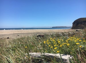
Drake's Beach, Pt. Reyes
5.0Named after the famed explorer, Sir Francis Drake, Drakes Beach is part of the scenic Point Reyes National Seashore. If you're looking to spend a day and an evening at the beach, grab some snacks and some firewood and head out to Drakes Beach. Key things to remember with the bonfire: Build th...Read more -
Inverness, California
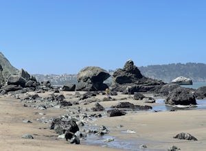
Marshall Beach Trail
5.02.41 mi / 305 ft gainMarshall Beach Trail is an out-and-back trail that provides a good opportunity to see wildlife located near Inverness, California.Read more -
Inverness, California
Photograph the Cypress Tree Tunnel in Point Reyes
4.3Just north of San Francisco, there's a row of giant Monterey cypress trees that forms a “tree tunnel”. Loved by Bay Area locals, it's a tucked away spot in the Point Reyes National Seashore for photographers to capture early morning sun rays, or for anyone to get some moments of solitude. At the ...Read more -
Inverness, California
Abbotts Lagoon Trail
4.63.43 mi / 102 ft gainIf you like beaches, headlands, scenic landscapes, wildflowers, and tons of wildlife viewing, you should give this hike a try. Although it only takes about an hour to complete the out-and-back, the vibe surrounding this area is just begging you to slow down and enjoy your natural surroundings. T...Read more -
Chimney Rock Trail Head, California
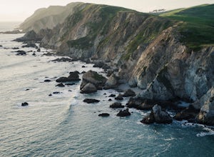
Chimney Rock
4.51.82 mi / 151 ft gainChimney Rock is a 1.8-mile out-and-back, single-track trail. The trailhead gets crowded (even on weekdays) with amateur and professional photographers, as well as nature lovers clutching field guides. Hikers seeking a quiet nature experience may wish to look elsewhere. The display is impressive, ...Read more -
Santa Rosa, California
Taylor Mountain Loop
4.24.89 mi / 1096 ft gainFrom the northern entrance to the park, you can access an 18-hole disc golf course as well as a number of trails. The Eastern Trail takes you up a steep 1,000 feet to the top of Taylor Mountain, where you can see most of Sonoma County laid out before you. Mt. St. Helena is visible in the distance...Read more -
Santa Rosa, California
Hiking, Swimming, and Fishing in Wine Country
5.0Annadel State Park is located in the historic Valley of the Moon, just 60 miles north of San Francisco, in Sonoma. This popular 5,200 acre park features a wonderful variety of options to explore, boasting views of the Sonoma Valley, rolling meadows of wildflowers, and direct access to 26 acre Lak...Read more

