La Selva Beach, California
Looking for the best hiking in La Selva Beach? We've got you covered with the top trails, trips, hiking, backpacking, camping and more around La Selva Beach. The detailed guides, photos, and reviews are all submitted by the Outbound community.
Top Hiking Spots in and near La Selva Beach
-
Half Moon Bay, California
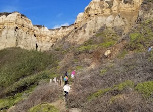
Hike the Cowell-Purisma Trail
5.07 mi / 400 ft gainThis is a popular trail that has beach access to Cowell Ranch Beach. Along the trail, there is a steep staircase that goes down to the beach. The trail also features fields, a bridge, and beautiful views of California's rugged coastline. This trail is paved in some parts, and can also be biked...Read more -
Big Sur, California
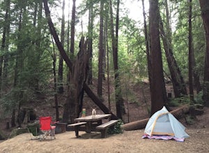
Camp at Ventana Campground, Big Sur
4.6This campground is a gem when it comes to Big Sur camping, book here. Each site includes a parking spot, a campfire ring with grill, a picnic table, and plenty of space for 1-2 tents. There are multiple immaculate restroom facilities with showers, clean trash enclosures (emptied and sanitized dai...Read more -
Sunol, California
Hike the Pleasanton Ridge Trail
4.36.4 mi / 1443 ft gainPleasanton Ridge Trail is a 6.4 mile loop. The loop is shared by dog walkers, trail runners, hikers, mountain bikers and horseback riders. From the ridge your viewpoints will include Mount Diablo and the San Francisco Bay. This hike from the Foothills Staging Area is an excellent introduction ...Read more -
Big Sur, California
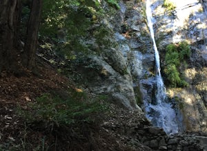
Hike to Pfeiffer Falls
4.02 miThis trail is a staff favorite at Big Sur. This family-friendly waterfall trail provides only a moderate challenge for young children and older family members. There are two starting points for this hike depending on where you stashed the car. If you’re parked near the gift shop, the head up the ...Read more -
Paicines, California
Balconies Cave Trail
2.63 mi / 617 ft gainBalconies Cave Trail is an out-and-back trail where you may see wildflowers located near Paicines, California.Read more -
Paicines, California
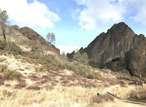
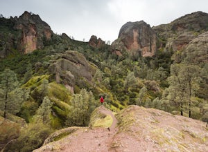
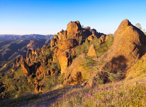
Hike the Juniper Canyon, High Peaks, Tunnel Trail Loop in Pinnacles NP
5.04.3 mi / 1200 ft gainPinnacles National Park is located just over two hours outside of San Francisco (depending on the traffic). It was designated the 59th national park in 2013 and while it is small it offers beautiful views and unique wildlife viewing. Keep an eye out for California condors on this hike! This trail...Read more -
Livermore, California
Hike the East Shore Trail Loop
3.7 mi / 1040 ft gainThis hike is best done during the spring, fall, or winter when moderate temperatures make the hike more comfortable. Be warned that this hike has a large elevation change despite being less than 4 miles. Starting at the Arroyo Road Staging Area, take the East Shore Trail east, heading towards a s...Read more -
Big Sur, California
Sykes Hot Springs via Pine Ridge Trail
4.218.96 mi / 7339 ft gainThe trek to Sykes Hot Springs is about 10-miles one way along the Pine Ridge Trail. This is a great backpacking trip, but can be done as an out-and-back hike from the campgrounds at Pfeiffer Big Sur State Park if you're really moving. The trail is moderately challenging, you'll cross the river t...Read more -
Big Sur, California
Pine Ridge, North Coast Ridge Loop
2.033.45 mi / 11388 ft gainIf you are looking to do some backpacking in the Big Sur area, you've come to the right place. This post shares a suggested 4-day backpacking loop in the Ventana Wilderness that will offer a bit of everything - challenging hiking with a healthy does of elevation, beautiful primitive camping amon...Read more -
Belmont, California
Hike San Mateo's Sugarloaf Mountain
5.01.5 mi / 500 ft gainSugarloaf is tucked away in Laurelwood Park which is located in a residential neighborhood right off of Hwy 92 in San Mateo, making this a great hiking & trail running option for Peninsula residents.I always park on Glendora Dr. and follow the paved path down towards the playground. At the bo...Read more -
Big Sur, California
Explore the Big Sur River Gorge
4.71 miIf you are in the Big Sur area during the summer, exploring the Big Sur River Gorge is a must! The gorge is located in Pfeiffer Big Sur State Park, and your closest parking will be day use parking lot 3. The trailhead to the gorge can be found at the northeast end of Pfeiffer Big Sur State Park C...Read more -
Big Sur, California
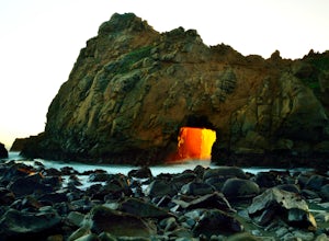
Pfeiffer Beach
4.00.81 mi / 75 ft gainPfeiffer Beach located in Big Sur may truly be one of the most awesome beaches in California...if you can find it. I lived within 40 miles of this beach for over 20 years and just discovered it recently. This beach is located on an unmarked road called Sycamore Canyon Road. On Highway 1, this roa...Read more -
Half Moon Bay, California
Hike Along the Half Moon Bay Coastal Trail
4.65 mi / 104 ft gainStart at the visitor center along Kelly Avenue. Take note that the day parking fee is $10 in 2016 for each vehicle. You will then be able to enjoy both the Coastside Trail and Francis Beach (plus other beaches) with access to the amenities such as coin-operated showers and a semi-private beach.Th...Read more -
San Benito County, California
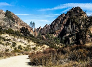
Explore Pinnacles National Park
4.6It’s hard to believe how many people don’t know about this place, which was newly designated as a National Park in January 2013. Pinnacles National Park is hidden just south of San Jose in the Gabilan Mountains, and is a short drive for anyone living in the Bay Area.With beautiful rock spires pie...Read more -
Paicines, California
Hike the Old Pinnacle Trail in Pinnacles National Park
5.09 mi / 2000 ft gainStart at the Old Pinnacles Trailhead and embark on a roughly 9 mile long adventure surrounded by amazing geological rock formations and natural landscapes. Bask in the peace of nature... meander through meadows alongside the West Fork of Chalone Creek and into Old Pinnacles. Continuing on at the ...Read more -
Paicines, California
Hike the High Peaks & Balconies Cave Loop
5.08.4 mi / 1540 ft gainThis hike can begin at Old Pinnacles Trailhead (East Entrance) or Chaparral Trailhead (West Entrance) and can be hiked in either direction. This description is from Old Pinnacles Trailhead, hiking clockwise, which gets the most demanding part of the hike done first. From Old Pinnacles Trailhead w...Read more

