Kyburz, California
Looking for the best photography in Kyburz? We've got you covered with the top trails, trips, hiking, backpacking, camping and more around Kyburz. The detailed guides, photos, and reviews are all submitted by the Outbound community.
Top Photography Spots in and near Kyburz
-
Carson City, Nevada
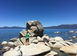
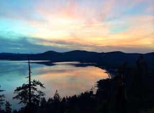
Relax at Tahoe's Chimney Beach
5.02.2 miLocated on the East Bank of Lake Tahoe along Highway 28, Chimney Beach is a great alternative to the more popular and heavily used beaches which can be quite a challenge to gain access due to the parking limitations during the busy summer months and on weekends.From the parking area on the east s...Read more -
Arnold, California
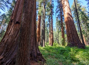
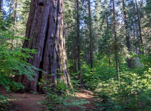
Hike the North Grove Trail in Calaveras Big Trees SP
5.01.7 mi / 40 ft gainWhen thinking of the iconic Sequoias of the Sierra Nevada, one usually thinks of Yosemite and Sequoia National Park. However, there is a often forgotten area of Giant Sierra Redwoods that gets far less traffic than the more popular groves. The North Grove Trail takes you through a grove of over 1...Read more -
New Washoe City, Nevada
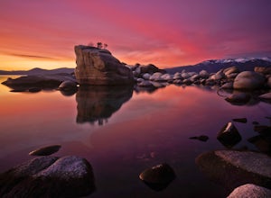
Photograph Bonsai Rock
5.0Bonsai Rock is a popular attraction for photographers as it is a unique boulder with tiny trees growing out of it, enclosed next to the shoreline. This makes it a beautiful place to enjoy a scenic sunset, as well as play with some long exposure photography.It's located on the east side of Lake Ta...Read more -
Washoe County, Nevada
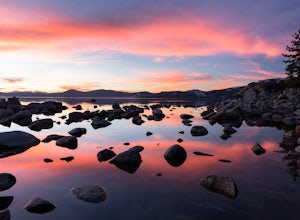
Sand Harbor Nature Trail
4.50.54 mi / 33 ft gainWhile Sand Harbor Park is a popular summer destination, the sunsets from this spot are breathtaking year round and you will have less company in the winter. The park is located right off of Highway 28 and has an admission fee of $7. There is a parking lot that fills up quickly in the summer, so a...Read more -
Incline Village, Nevada
Quick Hike and Photo Op at Stateline
5.02 miThis quick 2-mile RT hike takes you to a lookout point above the Stateline of California and Nevada. The road to the lookout is paved so beginners can make the trek to the top in the summer; winter covers the road with snow, so snowshoes or boots are recommended. The lookout offers spectacular vi...Read more -
Tuolumne County, California
Hike the South Grove Trail in Big Trees SP
3.75 mi / 560 ft gainThe South Grove Trail of Calaveras Big Trees State Park sees far less traffic than the North Grove due to its increased mileage and distance from the park entrance. The trail starts at the South Grove Trail head which is located nine miles east of the entrance on the main park road. The trailhead...Read more -
Carson City, Nevada
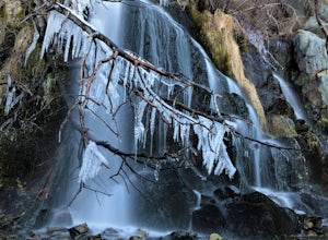
Kings Canyon Falls
4.00.63 mi / 233 ft gain...Living in California, I know all about waterfalls! For me personally though, no matter the shape or size of the waterfall, it has my interest. Now when it comes to Nevada, I honestly can't think of too many waterfalls off the top of my head, but when you're passing through a town that you're u...Read more -
Truckee, California
Backpack the Palisades Creek Trail
4.015 mi / 2200 ft gainAfter driving out to Kidd Lakes and parking at the trailhead, you take off through some easy forest hiking past Cascade Lakes and Long Lake. Pay attention to the cairns marking the trail as you traverse across a large granite section with Devils Peak to your West. The trail is easy to follow and ...Read more -
Truckee, California
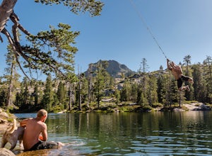
Swim at Long Lake near Truckee
3.71.5 mi / 100 ft gainThe story goes that twenty or so years ago, long before the advent of the Royal Gorge Cross-Country Ski Area, some local Truckee boys decided to put a couple rope swings up on Long Lake near Soda Springs, CA, and they remain there to this day.Long Lake sits amongst a cluster of both man-made and ...Read more -
Truckee, California
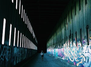
Hike the Truckee Tunnels
5.0To get here, drive along Donner Pass Rd. There is a turnoff about 100 yards away from the Donner Summit Bridge where you can park. The hike begins at a plaque for the China Wall- a large retaining wall built by Chinese railroad workers. Hike up the trail towards the tunnels. Some spots may requi...Read more -
Truckee, California
China Cove Loop at Donner Lake
4.63.11 miThis is a casual hike in an area with a ton of history. Stop by the museum before or after your hike to learn about the Donner Party, the Transcontinental Railroad, and local Native Americans Park at the Donner Lake and Memorial State Park Visitor Center and walk west towards the lake. Cross the...Read more -
Arnold, California
Hiking Disaster Creek
While this is not a terribly scenic hike, the trees, creek, and terrain are very beautiful, and the entire area is quiet and peaceful. You're likely not to pass a single other person on the hike, which is great for letting dogs off-leash.The trail starts off with a series of switchbacks, which ga...Read more -
Loch Leven Lakes Trailhead, California
Loch Leven Lakes Trail
4.47.6 mi / 1480 ft gainThe trail is easy to follow for the first half mile until you get to some large slabs of granite. As you continue up the trail look for stacked rocks, these will give you a an easy route as you continue up the mountain. The trail then starts to switch back eventually leading to a small bridge. Af...Read more -
Soda Springs, California
Hike to the Peter Benson Hut
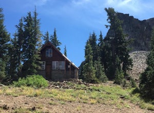
5.011.6 mi / 1800 ft gainDrive to the top of Donner Summit via the Old Hwy 40 and park at the Donner Summit PCT trailhead, just past the Sugar Bowl Academy Building. Begin hiking up-hill through a somewhat forested area for about 2 miles. Shortly after you pass the trail sign for the Mt. Judah Loop, you will come to a sm...Read more -
Soda Springs, California
Summit Castle Peak
4.06 mi / 1800 ft gainThe trailhead is very easy to access as it is just off Highway 80 at the Boreal Mountain exit. When taking the exit, take a turn to the North, rather than to Boreal on the South side of the Highway. On busy summer weekends this trailhead can get quite crowded so you may have to park at the bottom...Read more -
Truckee, California
Mt. Judah Loop Trail
5.05.5 mi / 1700 ft gainA wonderful hike in Lake Tahoe is the Mt. Judah Loop Trail that offers sweeping views of Donner Lake and the surrounding Sierra Nevada mountains on the North Shore. As a resident on the North Shore, many of my recreational activities favor this side of the Lake but there are marvelous hikes in ...Read more

