Inyo, California
Looking for the best photography in Inyo? We've got you covered with the top trails, trips, hiking, backpacking, camping and more around Inyo. The detailed guides, photos, and reviews are all submitted by the Outbound community.
Top Photography Spots in and near Inyo
-
Lone Pine, California
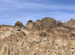
Explore The Heart Arch
A small heart shaped arch naturally formed in the bounders at The Alabama Hills, at the foothills of the Sierras. The Alabama Hills are formation of rounded rocks near the eastern Slope of the Sierra Nevada in the Owens Valley. It is a popular filming location for movie and television show produ...Read more -
The Mobius Arch Loop Trailhead, California
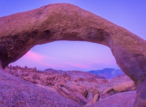
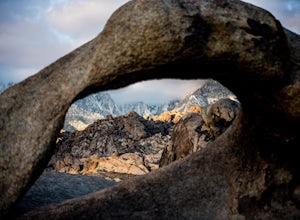
Mobius Arch Loop
4.40.63 mi / 46 ft gainThe Alabama Hills area of Lone Pine, CA is located on the eastern side of the Sierra Nevadas. As you drive along Movie Flat Road you will be surrounded by a sea of golden brown boulders of varying shapes and sizes extending in every direction. The main attraction in Alabama Hills is definitely th...Read more -
Inyo County, California
Camp in the Alabama Hills
4.8The Alabama Hills Recreation Area is a area owned by BLM and open to the public. Camping is free and you can say for a max of 14 days.The are has 100+ open desert sites that are shadowed by some of the tallest peaks in the Sierra Nevada range. And if that wasn't enough, the area was the backdrop ...Read more -
Inyo County, California
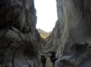
Backpack Fall Canyon
8 miThe trail head is north of Furnace Creek at the Titus Canyon parking lot which is clearly marked on any park map. On a busy weekend cars are lined up along the road leading to the parking lot which has a restroom. Note that there is no water source here. To begin the hike in, take the trail on th...Read more -
Inyo County, California
Drive into a Rainbow: Titus Canyon
4.5Get ready to drive through the center of a rainbow.Titus canyon road winds 27 gorgeous miles through the Death Valley backcountry, twisting sharply around steep rock walls and over small passes. This is an adventure for both you and your vehicle. Consider the dust accumulation on your rear window...Read more -
Furnace Creek, California
Hike Golden Canyon, Death Valley
5.01.5 mi / 685 ft gainGolden Canyon is located about 10 minutes south of Furnace Creek in Death Valley NP, on Badwater Road. Entering "Golden Canyon, Death Valley" into your phone or GPS will take you to the Golden Canyon parking area. The trail starts right off the parking lot and goes for about 1.5 miles to Red Cath...Read more -
Inyo County, California
Texas Spring Campground
This is one of the best campgrounds in Death Valley that gives you the true experience of camping in the middle of a desert. The campground is surrounded with badlands and hills where you can climb to explore and see a panoramic view of mountains all around. Texas Spring campground offers 92 sit...Read more -
Inyo County, California
Meysan Lakes Trail
9.23 mi / 3724 ft gainMeysan Lakes Trail is located on the ever popular Whitney Portal Road. Park on the side of the road next to the Whitney Portal Campground. Start the hike by cutting through the campground, and passing some seasonal cabin style residences. Follow the Meysan Lakes Trail signs. The trail cuts throu...Read more -
Inyo County, California
Green & Camp Lakes via Meysan Lakes
5.08.16 mi / 3248 ft gainGreen Lake via Meysan Lakes Trail is hiked from mid-June to end of September most seasons. Once the snow starts to fall, the road to the trailhead will be closed. A permit is require for overnight. You can obtain the permits online or at the ranger station in Lone Pine. Book online if you plan on...Read more -
Inyo County, California
Devil's Golf Course, Death Valley
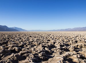
4.02.54 mi / 115 ft gainIt is said that "only the devil could play golf on such rough links." Just off Badwater Road you will find an immense field of eroded rock salt that bore small jagged spires in the Earth. What was once Lake Manly is now a surreal sight - one that makes you wonder what planet you are on. Devil's G...Read more -
Furnace Creek, California
Artist's Palette
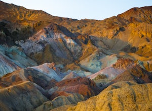
4.00.4 mi / 89 ft gainLet’s just start this off by saying, PREPARE FOR THE HEAT. Death Valley has the highest recorded temperature on earth at over 130 degrees Fahrenheit. If you are planning to visit in the summer…be ready. Luckily, Artist’s Palette is not far from the parking the area and the saving grace of Ai...Read more -
Furnace Creek, California
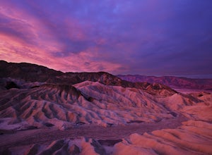
Zabriskie Point
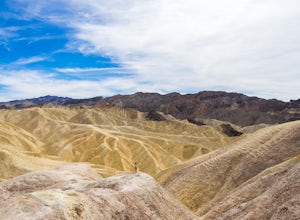
4.70.29 mi / 7 ft gainZabriskie Point is a unique viewpoint in Death Valley National Park located just east of Furnace Creek on Hwy 190. The viewpoint is just a short stroll from the parking lot, so it’s great for groups and families. When you reach the viewpoint, you’ll be overlooking the epic maze of finely ridged b...Read more -
DEATH VALLEY, California
Badlands Loop in Death Valley
4.62.56 mi / 463 ft gainThe Badlands Loop is a surreal 2.5 mile walk down into the gullies and gulches below Zabriskie Point in Death Valley. The loop takes you past distinct rock formations, through mud tiled washes, past old abandoned borax mines and finally up above the eroded arteries to a fantastic view of an other...Read more -
Inyo County, California
Summit of Mt. Whitney
5.020.85 mi / 6100 ft gainMt. Whitney is the highest peak in the contiguous United States. It stands over 14,500ft high at its peak (elevation gain of 6100') and it sure feels like it when you are up there. Getting There Located just West of Lone Pine, CA you take Whitney Portal Road West for 13 miles all the way to its...Read more -
Inyo County, California
Winter Summit Mt. Whitney
22 mi / 6500 ft gainDay 1: We arrived at the Lone Pine Visitors Center at the intersection of HWY 395 and HWY 136 just south of Lone Pine, CA. We issued ourselves our overnight permits to climb Mt. Whitney and picked up our Wag Bags. You can self issue yourself the free permit Nov. 2 through Apr 30. Climbing during ...Read more -
Inyo County, California
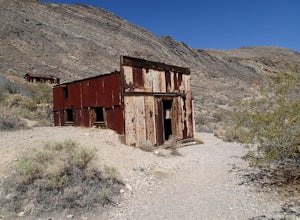
Explore Leadfield Ghost Town
Leadfield is located on Titus Canyon Road and requires a high clearance vehicle to get back and explore. There is a marker designating the site so it is easy to find. There is about three in tacked buildings and several other ruins along with a few mine shafts. Copper and lead claims were filed i...Read more

