Hemet, California
Looking for the best photography in Hemet? We've got you covered with the top trails, trips, hiking, backpacking, camping and more around Hemet. The detailed guides, photos, and reviews are all submitted by the Outbound community.
Top Photography Spots in and near Hemet
-
Laguna Beach, California
Laguna Beach Caves
3.8Explore some beautiful caves right on the beach in Laguna. The stairs leading down to the beach are just off the side of PCH at 9th st. You can park anywhere along the PCH on both sides near 9th st. Head down the stairs and the main caves are on the left. To the right there are also some small c...Read more -
Escondido, California
Bernardo Mountain Summit Trail
5.07.15 mi / 1060 ft gainBernardo Mountain is located on the Coast to Crest Trail in San Dieguito River Park. The 7.15-mile out-and-back trail to the 1060 ft. summit starts on the east side of I-15. It's a relatively easy hike all the way to the top. It picks up a little once you make it to the Summit Trail junction, wh...Read more -
Borrego Springs, California
Hike to Maidenhair Falls via Hellhole Canyon in Anza Borrego Desert State Park
5.1 mi / 974 ft gainThis 5.1 mile hike begins near the visitor center of Anza Borrego Desert State Park and gains 974 feet of elevation while climbing up a canyon to a small waterfall. It is an interesting hike as you can see the plant life change as you get closer to the waterfall. There are parts where the trail g...Read more -
Laguna Beach, California
Skimboard Table Rock Beach
Laguna Beach is both the birthplace *and* and the capital of skimboarding, and for good reason: it boasts an impressive array of beaches where (if you know where to look) you can find one where the conditions are right for one of the most difficult but rewarding of water sports. Table Rock is one...Read more -
Laguna Beach, California
Bodysurf at Aliso Beach
5.0This wave is super fun to bodysurf and shoot photos of when there is a swell. It is a shorebreak so be careful of shallow water and little rocks. It usually isn't too crowded especially on weekdays. Bring your fins and a smile and you have a good time.Read more -
Laguna Beach, California
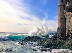
Explore Laguna Beach's Pirate Tower
4.4To find this little hidden treasure, put Victoria Beach into your phone as your destination and park for free on S Coast Highway anywhere between Sunset Terrace, McAulay Place, or Victoria Drive. Make your way down any of these streets toward the beach and you will see stairs going down at the en...Read more -
Laguna Beach, California
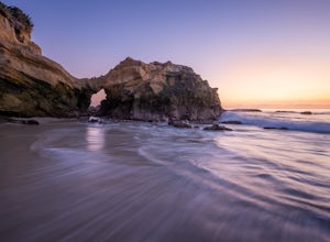
Exploring Pearl Street Beach's Arch Rock
4.0Pearl Street Beach is a great spot to just chill and watch (and photograph) the sunset with friends and family. Parking for the beach can be found on S. Coast Hwy (the 1) and is meter parking. There is also free, but limited parking available along the smaller streets closer to Pearl Street Beach...Read more -
Laguna Beach, California
Surf Brooks Street Beach
5.0Brooks Street Beach is just a couple of blocks off the Pacific Coast Highway in Laguna Beach. Parking can be tricky, so be forewarned that you may need to walked a few blocks. Winter can be good, but during the summer and big south swells are when you want to go surfing, so be sure to check out ...Read more -
Newport Beach, California
Explore Deer Canyon
6.9 mi / 1489 ft gainThe Deer Canyon Loop Trail is an easy drive from Orange County and Newport Beach. In the spring, wildflowers are abundant along the trial. This is a favorite spot for trail runners, hikers, and mountain bikers. The trail is kept in great condition year-round and is very wide. There is very little...Read more -
Newport Beach, California
Bommer Ridge from the Pacific Ridge Trailhead
7.54 mi / 394 ft gainThe Bommer Ridge West Trailhead aka The Pacific Ridge Trailhead begins at the edge of Ridge Park Road, overlooking CA State Highway 73, and marks the northwest entrance to the Laguna Coast Wilderness and its neighbor, Crystal Cove State Park. From the well-marked trailhead follow the trail south...Read more -
Laguna Beach, California
Water Tank Trail
4.33.05 mi / 502 ft gainThere a numerous trails in the Laguna Coast Wilderness that proceed up and along the ridges and down into the canyons (or the reverse), and most are excellent for hiking, trail running, and mountain biking. A classic out-and-back (with many options for loops) begins in Irvine Bowl Park at the en...Read more -
Riverside County, California
Hike to Lost Horse Mine
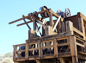
4.09 mi / 545 ft gainTo get to the trailhead, take Key's View Road from Park Blvd for around 2.5 miles and turn left onto a dirt road. The trailhead is at the end of this road. From here, you have the option to do the 6.1 mile loop or the 4 mile roundtrip out and back. This trail takes you through a beautiful desert ...Read more -
San Diego, California
Battle Mountain's Cross
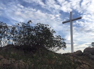
5.00.45 mi / 256 ft gainThis is a quick and easy hike for everyday explorers desiring a 20-minute sweat-inducing power walk leading to incredible views of urban development, Iron Mountain, Mt. Woodson, Mule Hill, and The 15. Come enjoy the views while sitting under the beautiful 20ft cross you've been admiring from the ...Read more -
Heisler Park, California
Relax at Heisler Park
5.0Located in Laguna Beach, California, Heisler Park is just past Main Beach, so it's the perfect place to avoid the typical tourist crowds. There's plenty of parking at Heisler Park, however you will have to pay, so come with a friend to split the cost! Luckily, if you plan on going to catch the su...Read more -
Laguna Beach, California
Trail Run the Boat Road and Laguna Ridge
4.34 mi / 600 ft gainThere a numerous trails in the Laguna Coast Wilderness that proceed up and along the ridges and down into the canyons (or the reverse), and most are excellent for trail running, hiking, and mountain biking. A classic out-and-back (with many options for loops) begins at the end of Dartmoor Street ...Read more -
Riverside County, California
Cap Rock Nature Trail
3.00.75 mi / 161 ft gainThere are two Joshua Trees guarding the trail, which makes for a perfect photo op. There are some monzogranite rock formations (of which the park is famous for). Watch for bunnies and lizards! The trail is handicap accessible, so parents with young children in strollers or those in wheelchairs ca...Read more

