Grizzly Flats, California
Top Spots in and near Grizzly Flats
-
Nevada City, California
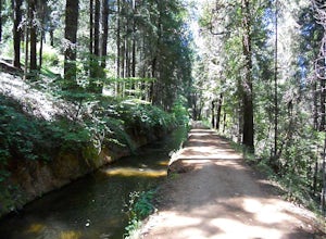
Well if you start at Banner Lava Cap and Gracie Roads then you will see the canal at the top of Gracie Rd. Hop onto the berm of the canal and head north {upstream}. The trail is dirt and about 4 ft wide in the beginning and widens to 6 to 8 ft for most the way . Continue upstream on the canal and...
Read more
-
Carson City, Nevada
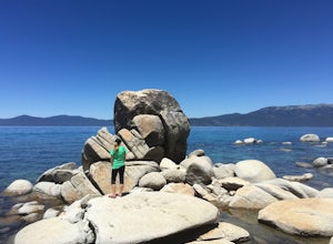
Located on the East Bank of Lake Tahoe along Highway 28, Chimney Beach is a great alternative to the more popular and heavily used beaches which can be quite a challenge to gain access due to the parking limitations during the busy summer months and on weekends.From the parking area on the east s...
Read more
-
Carson City, Nevada
4.0
5.96 mi
/ 1713 ft gain
This trail starts right off NV28 between Chimney Beach and Great Tahoe Beach. Around 30 minute drive from South Lake Tahoe and the CA/NV border, we arrived close to 10am with plenty of parking available. While it seemed the trail was heavily used by mountain bikes, we encountered zero during our ...
Read more
-
Nevada City, California
3.0
35.45 mi
/ 4895 ft gain
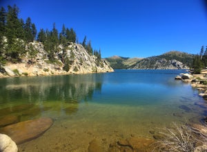
Bowman Road and Meadow Lake Road to Henness Pass is a point-to-point trail that takes you by a lake located near Alta, California.
Read more
-
Truckee, California
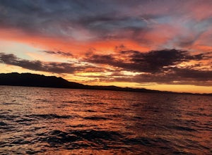
In the northwest corner of Donner Lake, there are public docks run by the Truckee Donner Recreation & Parks district. It's free to lay out your towels and hang out, but there is a fee for launching boats on the ramp. Come over in the late afternoon, enjoy the sunset, and go for a swim as the ...
Read more
-
Kings Beach, California
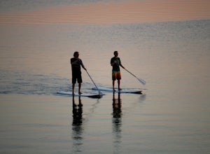
This is a super fun way to enjoy the day, get some exercise and see some really cool parts of the lake that are usually hidden. You can rent boards/ paddles at a few different places either for the day or by the hour. Bring some water, sun block and a camera...if you dare! Once the day is done ...
Read more
-
Soda Springs, California
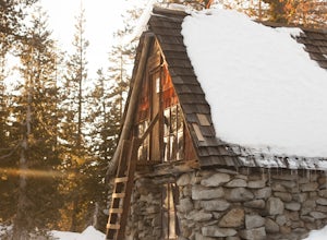
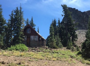
The Peter Grubb Hut is located below Castle Peak in Round Valley, 3 miles north of the Castle Peak trailhead near I-80. Overnight parking is available at the California Sno-Park at the Boreal-Castle Peak exit on I-80. Park on the frontage road east of the Boreal Inn and walk back under the freewa...
Read more
-
Soda Springs, California
From the trail map sign, follow the dirt path straight, following signs for the cross-country skiing route, not snowmobiling. Continue until you see a trail marker. You'll veer left to head over to the Hole in the Ground trail. Once you see another identical trail map board, you'll head left. Thi...
Read more
-
Soda Springs, California
5.0
11.6 mi
/ 1800 ft gain
Drive to the top of Donner Summit via the Old Hwy 40 and park at the Donner Summit PCT trailhead, just past the Sugar Bowl Academy Building. Begin hiking up-hill through a somewhat forested area for about 2 miles. Shortly after you pass the trail sign for the Mt. Judah Loop, you will come to a sm...
Read more
-
Soda Springs, California
The trailhead is very easy to access as it is just off Highway 80 at the Boreal Mountain exit. When taking the exit, take a turn to the North, rather than to Boreal on the South side of the Highway.
On busy summer weekends this trailhead can get quite crowded so you may have to park at the bottom...
Read more
-
New Washoe City, Nevada
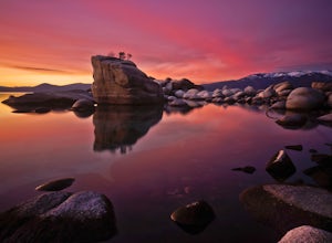
Bonsai Rock is a popular attraction for photographers as it is a unique boulder with tiny trees growing out of it, enclosed next to the shoreline. This makes it a beautiful place to enjoy a scenic sunset, as well as play with some long exposure photography.It's located on the east side of Lake Ta...
Read more
-
39.333252,-120.289482
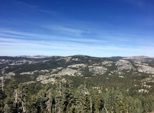
A perfect Sunday hike on your way back from a weekend at Lake Tahoe. Exit I-80 at Donner Lake and take the dirt road on the north side of I-80 to a large parking lot. A mild climb followed by a set of tougher switchbacks leads you to great views from Donner Ridge.
Although adventuring out on t...
Read more

