Forks of Salmon, California
Looking for the best running in Forks of Salmon? We've got you covered with the top trails, trips, hiking, backpacking, camping and more around Forks of Salmon. The detailed guides, photos, and reviews are all submitted by the Outbound community.
Top Running Spots in and near Forks of Salmon
-
Trinity Center, California
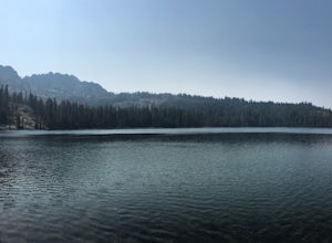
Stoddard Lake
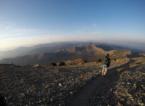
5.07.01 mi / 1325 ft gainThe trail is a bit rocky, so wear sturdy hiking boots or trail runners. While your elevation gain is only 800 total, you will travel upwards of 1,982ft in elevation given the ups and downs of the trail. At mile 1.75, there is a spring that feeds into a large meadow. At mile 3, there is another sp...Read more -
Trinity Center, California
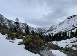
Backpack Stuart Fork to Emerald and Sapphire Lake
25 mi / 4448 ft gainThe Stuart Fork to Emerald and Sapphire Lakes trail features many beautiful lakes, meadows, and an area that resembles a jungle. Dogs are able to use this trail. This trail can be done as a day hike, an overnight, or a three-day backpacking trip. If you choose to make it a three day, the meadows ...Read more -
Orick, California
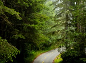
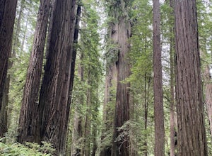
Lady Bird Johnson Grove in Redwood NP
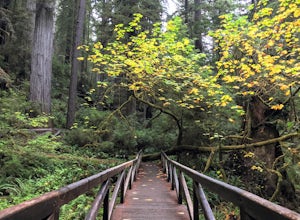
4.01.35 mi / 92 ft gainThis hike starts in the parking lot of the Lady Bird Johnson Grove Picnic Area. As one of the more popular hikes in Redwood National Park, it is a good idea to get there early to secure parking and miss the crowds. To get to the parking lot from the Kuchel Visitor Center, travel north on Highway ...Read more -
Orick, California
Cal Barrel Road
5.03.93 mi / 883 ft gainCal Barrel Road is an out-and-back trail where you may see wildflowers located near Orick, California.Read more -
Orick, California
Clintonia Trail Loop
4.06.98 mi / 1033 ft gainClintonia Trail Loop is a loop trail where you may see beautiful wildflowers located near Orick, California.Read more -
Pacific Crest Trail, California
Hike or Backpack the Dead Falls Lake Trail
5.08.1 mi / 1358 ft gainThe Dead Falls Lake Trail is perfect for families, dog, and all adventurers. In the spring and summer, there are gorgeous and abundant wildflowers. There is a perfect lunch spot at Deadfall Lake. Close to the gargantuan Shasta, Mount Eddy is the highest peak in the Klamath Mountain. Mount Eddy o...Read more -
Trinidad, California
Patrick's Point Trail
5.00.21 mi / 92 ft gainPatrick's Point Trail is an out-and-back trail where you may see wildflowers located near Trinidad, California.Read more -
Trinidad, California
Strawberry Rock Trail
5.02.99 mi / 505 ft gainTo get there: From the south, take the Trinidad exit, from which you will take a slight left/ go straight onto Trinidad Frontage rd. From The north, get off at the Trinidad exit, cross under the freeway, and take a left on Trinidad Frontage rd. Once on Trinidad Frontage rd, go straight to the end...Read more -
Trinidad, California
Watch a Sunset at College Cove Beach
5.00.25 miFollow the trail leading from the end of the parking lot down onto the beach. From the parking lot to the beach the walk is about a quarter of a mile, with a slight decrease in elevation as you move down to the beach. To get to the beach, take 72B off of Highway 101 and turn west onto Main Stree...Read more -
Klamath, California
Hike the Yurok Loop Trail
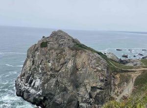
4.01 mi / 20 ft gainThe Yurok Loop Trail is a small loop on the northern end of the growing California Coastal Trail. This family-friendly hike starts at a picturesque lagoon near False Klamath Cove before crossing a bridge and entering the Sitka spruce forest. From the trail junction, you have the choice of passin...Read more -
Dunsmuir, California
Heart Lake Trail From Castle Lake
5.02.46 mi / 719 ft gainHeart Lake Trail From Castle Lake is an out-and-back trail where you may see beautiful wildflowers located near Dunsmuir, California.Read more

