Forks of Salmon, California
Looking for the best photography in Forks of Salmon? We've got you covered with the top trails, trips, hiking, backpacking, camping and more around Forks of Salmon. The detailed guides, photos, and reviews are all submitted by the Outbound community.
Top Photography Spots in and near Forks of Salmon
-
Orick, California
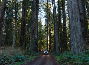
Explore the Prairie Creek Redwoods
4.1Prairie Creek Redwoods State Park is located in Orick, CA about 50 miles North of Eureka, Ca and 25 miles South of Crescent City, CA. Take the Newton B Drury Scenic Parkway exit off of Highway 101. Along this road there is a prairie where wild Roosevelt Elk can be spotted. They are wild so keep y...Read more -
Orick, California
Prairie Creek Redwoods Loop
5.019.42 mi / 2799 ft gainThis is the itinerary for our 3 day backpacking trip at Prairie Creek Redwoods State Park in early May. The original plan was to backpack Redwood Creek Trail in Redwood National Park. A couple issues stopped us from doing that: The water level was too high in May and multiple Park Rangers warne...Read more -
Orick, California
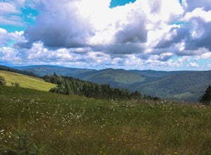
Drive Bald Hills Road in Redwood National and State Parks
3.0Driving the Bald Hills Road was a totally unexpected treat when I visited Redwood National and State Parks. We only had a day to spend there on a week long California road trip but I was so glad that we made the decision to drive the road while visiting.While I came expecting, and was glad to exp...Read more -
Junction City, California
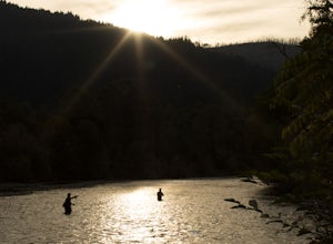
Fly Fish the Trinity River
The Trinity River is one that is rarely visited by your typical Bay Area resident. In fact, much of true Northern California is "untouched" in the eyes of those who live in The City, which is what drew me to this place to begin with. After a five hour journey from San Francisco, we made it to our...Read more -
Orick, California
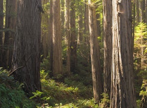
Trillium Falls
2.68 mi / 469 ft gainTrillium Falls trail is a nice little hike through a second growth and old growth redwood forest. The trail is lined with sweet smelling ferns and has plenty of shade the entire route. This would be good for a midday hike in summer. The trail starts from the Elk Meadows Day Use parking area. St...Read more -
Trinity Center, California
Camp at Hayward Flat on Trinity Lake
We drove all around Trinity Lake and this was the best campground we found! Located right on Trinity Lake you will find Hayward Flat Campground. From Weaverville California you will follow highway 3 north about 20 miles. Then take a right on Hayward Flat road two miles. Boom, you are there. The...Read more -
Orick, California
Camp at Gold Bluff Beach
5.0Located at Prairie Creek Redwoods State Park, the access road to this beach is a dirt road through the redwoods. Once you arrive to the beach area there is a park booth. The charge to overnight is $35 per day. Can also pay a day use fee which is less. The campground is situated some 200 yards fro...Read more -
Orick, California
Hike the Friendship Ridge Trail loop via the Coastal Trail
3.08 mi / 1500 ft gainThis loop hikes starts at the Fern Canyon Trailhead. To get to Fern Canyon, drive to the end of Davison Rd, also known as Gold Bluff Beach road. There is a pay station at the entrance to the road ($8 in 2015). After heavy rain, the road may be impassable for passenger cars. From the parking a...Read more -
Orick, California
Fern Canyon
4.41.12 mi / 269 ft gainFern Canyon is located within Gold Bluffs Beach at Prairie Creek Redwoods State Park located some 45 miles south of Crescent City, CA. Entrance to the beach area is located on Davidson Rd off the US-101 in Orick, CA. You will need to drive for about 6 miles on the dirt road at the turn of Davidso...Read more -
Pacific Crest Trail, California
Hike or Backpack the Dead Falls Lake Trail
5.08.1 mi / 1358 ft gainThe Dead Falls Lake Trail is perfect for families, dog, and all adventurers. In the spring and summer, there are gorgeous and abundant wildflowers. There is a perfect lunch spot at Deadfall Lake. Close to the gargantuan Shasta, Mount Eddy is the highest peak in the Klamath Mountain. Mount Eddy o...Read more -
Crescent City, California
Devil's Punchbowl, Six Rivers National Forest
4.08.33 mi / 1660 ft gainLocated in extreme Northern California, the Siskiyou Mountains are the largest sub-range of the Klamath Mountain range and among the most rugged. The Siskiyou Wilderness, designated in 1984, encompasses three national forests: Siskiyou, Klamath and Six Rivers for a total of 182,802 acres. Because...Read more -
Trinidad, California
Explore Luffenholtz Beach Park
On a road trip with a friend in July of 2019, this beach came recommended to us. The tidepools, rocks cutting into the sea, and photography opportunities made it a spectacular stop. There are stairs down to the beach and we were the only ones at the park. If I remember correctly, it’s quite a n...Read more -
Klamath, California
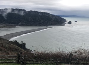
Hike to the Klamath River Outlook
3.01 mi / 500 ft gainFun drive on Requa Road off 101 takes you to a great little outlook. Take the trail descent down to the beach or connect with the CA Coastal trails for a three or four mile jaunt to either Hidden Beach or Lagoon Creek Beach. This spot is a local gem with minimal visitors. It also offers a likely ...Read more -
Trinidad, California
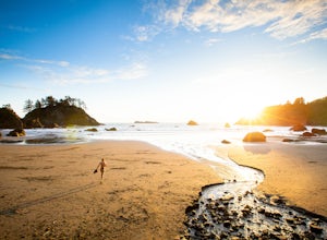
Watch a Sunset at College Cove Beach
5.00.25 miFollow the trail leading from the end of the parking lot down onto the beach. From the parking lot to the beach the walk is about a quarter of a mile, with a slight decrease in elevation as you move down to the beach. To get to the beach, take 72B off of Highway 101 and turn west onto Main Stree...Read more -
Trinidad, California
Hike Trinidad Head
4.81.5 mi / 300 ft gainPark in the large parking lot at Trinidad Beach. The trailhead is at the south end of the parking lot. The loop trail can be hiked in either direction.The trail is half dirt singletrack, half paved switchbacks, and climbs steadily to the top of Trinidad Head. The view of the ocean and California ...Read more -
Klamath, California
Hike the Yurok Loop Trail
4.01 mi / 20 ft gainThe Yurok Loop Trail is a small loop on the northern end of the growing California Coastal Trail. This family-friendly hike starts at a picturesque lagoon near False Klamath Cove before crossing a bridge and entering the Sitka spruce forest. From the trail junction, you have the choice of passin...Read more

