Farmington, California
Top Spots in and near Farmington
-
Angels Camp, California
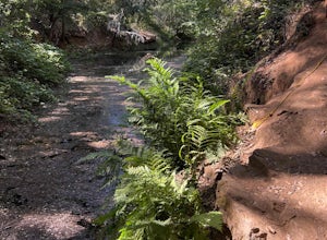
Upper Natural Bridge Trail
1.9 mi / 410 ft gainUpper Natural Bridge Trail is an out-and-back trail that takes you by a river located near Columbia, California.Read more -
Galt, California
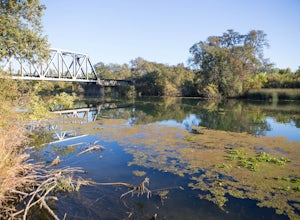
Hike the Cosumnes River Walk Trail
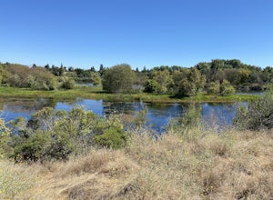
3.1 mi / 16 ft gainThis trail is a short, easy, accessible and beautiful trail for a nice afternoon walk (or photoshoot). I recommend the River Walk Trail (~3 miles). It is flat and easy to walk. There are multiple loops so you can turn back at any time. There are small bridges, access to the water, meadows, e...Read more -
Sonora, California
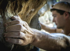
Bouldering at Columbia College
Get your hands on some limestone bouldering at this spot. There's actually two locations for bouldering in this area, Columbia College and Columbia State Park (about less than a 10 min. drive from Columbia College), but I made this specific adventure for climbing on the college. GPS Coordinates f...Read more -
Jackson, California
Lake Tabeaud Loop
2.31 mi / 433 ft gainLake Tabeaud Loop is an out-and-back trail where you may see beautiful wildflowers located near Jackson, California.Read more -
Livermore, California
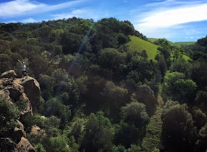
Condor, Volvan, Stone Corral, Coyote Loop
4.54.38 mi / 620 ft gainThis regional preserve is perfect for day hikes. There are also designated campsites and even a backpack campsite. Horses and dogs are welcome in the preserve. There are many different clearly marked trails that one can choose from. A good 4.5 mile loop is to start at the Park Residence entrance...Read more -
Arnold, California
Hike the North Grove Trail in Calaveras Big Trees SP
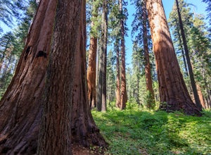
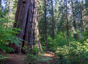
5.01.7 mi / 40 ft gainWhen thinking of the iconic Sequoias of the Sierra Nevada, one usually thinks of Yosemite and Sequoia National Park. However, there is a often forgotten area of Giant Sierra Redwoods that gets far less traffic than the more popular groves. The North Grove Trail takes you through a grove of over 1...Read more -
Livermore, California
Del Valle Regional Park
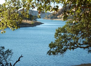
4.0Looking for a quick summer escape filled with stand up paddling, canoeing, fishing, hiking, and picnics? Look no further than Del Valle Regional Park. Consistently considered one of the best campgrounds in the Bay Area, the centerpiece of Del Valle is a 5-mile long lake that allows swimming, fish...Read more -
Livermore, California
Paddle Lake Del Valle
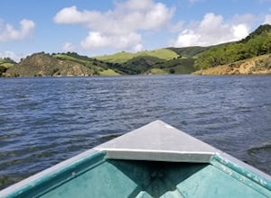
4.0Lake Del Valle is a reservoir located in Livermore, California. The lake has boat motor boats, pedal boats, patio boats, canoes, and row boats available for rent. There is a dock and rental house in the marina.The lake is also a popular destination for picnics, barbecues, and camping. Parking fi...Read more -
Livermore, California
Hike to Murietta Falls
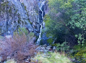
4.012 mi / 4175 ft gainGet ready for one of the toughest, lung busting hikes in the east bay with over 6-miles and 4,000ft of climbing in one direction. When you make it to the hike, it's also important to realize that without recent rain, there many not actually be a waterfall. With that said, you're still getting in ...Read more -
Tuolumne County, California
Hike the South Grove Trail in Big Trees SP
3.75 mi / 560 ft gainThe South Grove Trail of Calaveras Big Trees State Park sees far less traffic than the North Grove due to its increased mileage and distance from the park entrance. The trail starts at the South Grove Trail head which is located nine miles east of the entrance on the main park road. The trailhead...Read more -
Groveland, California
Drive the Yosemite Valley Loop
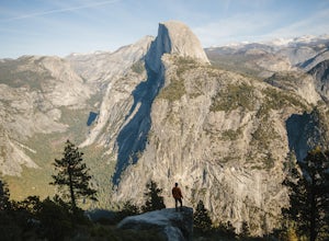
4.3Upon entering Yosemite Valley National Park I made it a point to see Half Dome, El Capitan, and Washington Column and several other famous Yosemite formations. What I didn't realize was as soon as I entered The Village was that all could be seen within a 15 minute loop around the valley floor. Th...Read more -
Livermore, California
Hike the East Shore Trail Loop
3.7 mi / 1040 ft gainThis hike is best done during the spring, fall, or winter when moderate temperatures make the hike more comfortable. Be warned that this hike has a large elevation change despite being less than 4 miles. Starting at the Arroyo Road Staging Area, take the East Shore Trail east, heading towards a s...Read more -
Antioch, California
Hike the Old Homestead Loop
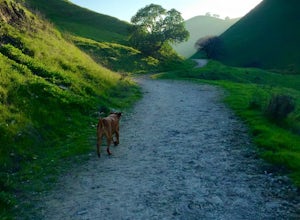
5.06.5 miThis is a fun day hike that takes you through the beautiful hills of the Black Diamond Mines Regional Preserve and a bit of the Contra Loma Recreational Area as well. You can hike here year round, but I suggest going in the spring time when the hills are covered in soft, green grass and the wild ...Read more -
Carmichael, California
Levee Path/American River Bike Trail: Williams Pond Rec Area to Watt Ave
5.93 mi / 112 ft gainLevee Path/American River Bike Trail: Williams Pond Rec Area to Watt Ave is a loop trail that is good for all skill levels located near Carmichael, California.Read more
Camping and Lodging in Farmington
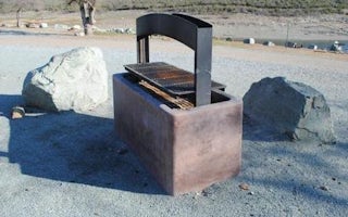
Farmington, California
Coyote Point
Overview
Coyote Point sits along New Hogan Lake in the brush-covered foothills of the Sierra Nevada Mountains.With summer temperatures re...
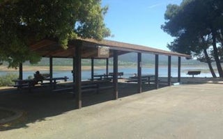
Valley Springs, California
Observation Point Picnic Shelter (Ca)
Overview
New Hogan Dam and Lake is located in the oak- and brush-covered foothills of the Sierra Nevada Mountains. The 4,400 acre lake wa...
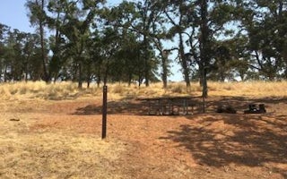
Valley Springs, California
Deer Flat Boat In Campground
Overview
New Hogan Dam and Lake is located in the oak- and brush-covered foothills of the Sierra Nevada Mountains. The 4,400 acre lake w...
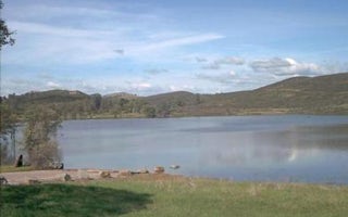
Valley Springs, California
Acorn Campground
Overview
Acorn Campground is a sunny campground in the brush-covered hills of the Sierra Nevada Mountains.The area is generally character...
Valley Springs, California
Oak Knoll Campground
Overview
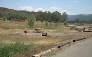
Oak Knoll Campground sits along New Hogan Lake in the brush-covered foothills of the Sierra Nevada Mountains.Recreation
Boating ...
Angels Camp, California
Glory Hole Recreation Area
Overview
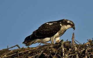
Glory Hole Recreation Area is located at New Melones Lake on the Stanislaus River. The 12,500 surface-acre lake is the fourth la...

