Fairfax, California
Looking for the best hiking in Fairfax? We've got you covered with the top trails, trips, hiking, backpacking, camping and more around Fairfax. The detailed guides, photos, and reviews are all submitted by the Outbound community.
Top Hiking Spots in and near Fairfax
-
Bodega Bay, California
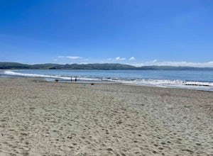
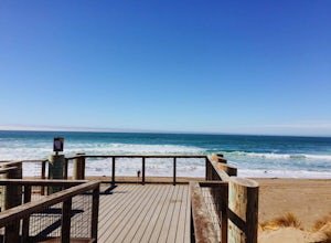
Doran Beach
5.04.02 mi / 75 ft gainDoran Beach is nestled within the picturesque landscape of Doran Regional Park near Bodega Bay, California. Offering pristine shores and captivating vistas, this is a coastal gem that allows visitors a more protected coastal landscape than nearby Salmon Creek State Beach. Explore sandy beaches ...Read more -
Santa Rosa, California
Santa Rosa Creek Trail: Willowside Road to Fulton Road
4.2 mi / 46 ft gainSanta Rosa Creek Trail: Willowside Road to Fulton Road is an out-and-back trail that takes you by a river located near Sebastopol, California.Read more -
San Mateo County, California
Run Sawyer Camp Trail
5.012 mi / 300 ft gainThe Sawyer Camp Trail is a popular paved trail that stretches alongside the Crystal Springs Reservoir all the way to Hillcrest Blvd. The sixth mile crosses over the San Andreas Dam with nice views of San Andreas Lake.There are markers every half mile which makes timing and tracking your run easy....Read more -
Bodega Bay, California
Bodega Head Nature Trail
4.71.67 mi / 121 ft gainSitting west of the San Andrea fault, the Bodega Head is a massive chunk of granite from the Salinian Block, a geological terrane that contains Point Reyes and the Farallon Islands, and shares its origins with the Sierra Nevada mountains, the Head itself having been carried hundreds of miles to t...Read more -
Half Moon Bay, California
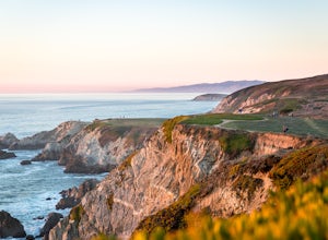
Catch the Sunset at Maverick's Beach
5.01 miMaverick's beach is most well-known for the Maverick surf competition and the gnarly waves which surface here in the winter months. For the rest of the year, the beach is still a site to see. With huge waves crashing ¼ mile off shore and bluffs towering 100 feet above you, it’s a picturesque plac...Read more -
Santa Rosa, California
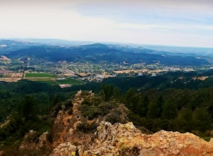
Gunsight Rock via Hood Mountain Trail
5.07.91 mi / 2372 ft gainHike to Gunsight Rock through Hood Mountain Regional Park to get a view overlooking Sonoma and Napa Valley. In order to get to the trailhead take Highway 12 to Los Alamos Rd, the road will then turn into Timberline Dr, this will take you to the trailhead. There is a parking fee of $8. From the p...Read more -
Belmont, California
Hike San Mateo's Sugarloaf Mountain
5.01.5 mi / 500 ft gainSugarloaf is tucked away in Laurelwood Park which is located in a residential neighborhood right off of Hwy 92 in San Mateo, making this a great hiking & trail running option for Peninsula residents.I always park on Glendora Dr. and follow the paved path down towards the playground. At the bo...Read more -
Bodega Bay, California
Camp at Bodega Dunes Campground
These kind of getaways shouldn't be planned many weeks before the trip. So we didn't booked a campground. And from this experience we learn that you don't have to reserve a campground. Just go there - don't panic when you see campground is full sign in the entrance. There are always available spo...Read more -
Clayton, California
Hike Mt. Diablo
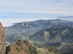
4.413 mi / 3323 ft gainMt. Diablo has some of the most expansive views in California, despite it's relatively low peak elevation. It played a large role in the surveying the Bay Area during its early discovery. Getting There: To get to the staging area, take Interstate 80 to I-680 to Highway 4. Exit at Railroad Bouleva...Read more -
Occidental, California
LandPaths Grove of Old Trees
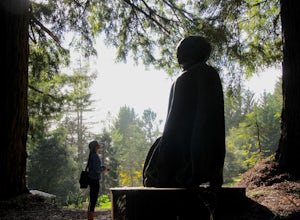
5.00.7 mi / 92 ft gainThe Grove of Old trees is a privately-owned preserve in Western Sonoma County that is open to the public year round. It is not large, only about 33 acres, but it makes a wonderful spot to go on a walk and to soak in the beauty of the redwoods. To get there from downtown Occidental, drive West up...Read more -
Clayton, California
Hike the Waterfalls of Mount Diablo Loop Trail
5.06 mi / 1627 ft gainWinter and spring rains create scenic waterfalls in this hike at Mount Diablo, the East Bay's signature peak. Be careful hiking immediately post-rain, watch for slippery sections of mud. The trail is moderately difficult and is used by hikers, walking groups, trail runners, and for nature trips. ...Read more -
Walnut Creek, California
Camp at Juniper Campground in Mount Diablo SP
Mount Diablo's summit in Mount Diablo State Park rises to 3,848ft, with Juniper Campground in Mount Diablo SP is at approximately 3,000ft in elevation. Juniper Campground overlooks the valley below and some of the San Francisco Bay. Reservations for Juniper Campground can be made at Reserveamer...Read more -
Walnut Creek, California
Juniper to the Summit Loop Trail and Meridian Ridge
6.56 mi / 2037 ft gainJuniper to the Summit Loop Trail and Meridian Ridge is a loop trail that is strenuous located near Diablo, California.Read more -
Half Moon Bay, California
Hike Along the Half Moon Bay Coastal Trail
4.65 mi / 104 ft gainStart at the visitor center along Kelly Avenue. Take note that the day parking fee is $10 in 2016 for each vehicle. You will then be able to enjoy both the Coastside Trail and Francis Beach (plus other beaches) with access to the amenities such as coin-operated showers and a semi-private beach.Th...Read more -
Occidental, California
Watershed View Trail
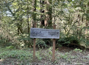
4.01.54 mi / 174 ft gainThe Watershed View Trail is located off of Coleman Valley Road and shares a trailhead with the Hunters Camp and Creekside Loop. This trail is a 1.5-mile out-and-back, which makes for a great trail to get the family out on to get some energy out. Be prepared for a muddy trail if there has been rec...Read more -
Occidental, California
Hunters Camp and Creekside Loop
5.36 mi / 853 ft gainHunters Camp and Creekside Loop is an almost 6-mile loop off of Coleman Valley Road in Occidental, California. This trail can get pretty muddy during the rainy season, but as an added bonus, it makes the waterfall along the Creekside Trail that much better. Dogs are not permitted on this trail.Read more

