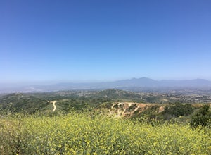
Duarte, California
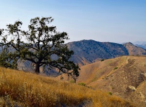
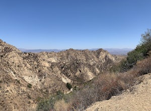
Duarte, California, is home to some of the best trails and outdoor activities. The Fish Canyon Falls Trail is a top choice for hikers, boasting a scenic 4.8-mile round-trip trek. This trail features a beautiful waterfall and a variety of wildflowers during the spring season. It is of moderate difficulty, making it a must-visit for both beginner and intermediate hikers. For those interested in mountain biking, the Mount Bliss Via Van Tassel Motorway is a challenging 13.1-mile trail offering panoramic views of the San Gabriel Valley. Near Duarte, the Monrovia Canyon Park offers shaded trails and a small, charming waterfall. Whether you're looking for a leisurely walk or a vigorous hike, Duarte's outdoor adventures are sure to please.
Top Spots in and near Duarte
-
Newport Beach, California
Bodysurfing and Photography at The Wedge
4.8Beginning at the east end of the Balboa Peninsula The Wedge's main power house is the Newport Harbor Jetty. When the right south swell hits the jetty it reflects back creating a massive back wash. When the back wash hits an incoming set you have the notoriously heavy wedge-like shore break thunde...Read more -
Hesperia, California
Sawpit Beach
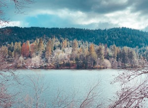
Sawpit Beach, is nestled within the Silverwood Lake State Recreation Area. The beach offers a peaceful respite along the southern shores of Silverwood Lake. With lifeguards on duty during the summer months, families can enjoy a worry-free day of swimming and relaxation. The sandy shores provide t...Read more -
Newport Beach, California
Boulder at Pirate's Cove
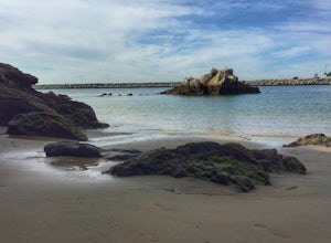
4.0This is a great spot for bouldering in Newport Beach, CA with really easy access from the parking lot at Big Corona Beach or street parking above on Ocean Blvd. There are not clear signs to follow, but it is easy to find from the parking lot at Big Corona - it is on the far west side toward the h...Read more -
Newport Beach, California
Exploring the Arches at Little Corona del Mar
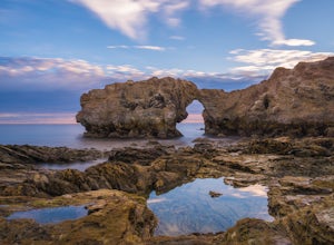
4.9Little Corona del Mar Beach is a secluded beach located on Poppy Avenue across Ocean Boulevard in Corona del Mar. Known as one of the less crowded beaches in the area, this spot is the perfect place to chill for the day or photograph a sunset. You will find plenty of free street parking in the ne...Read more -
Newport Beach, California
Bommer Ridge from the Pacific Ridge Trailhead
7.54 mi / 394 ft gainThe Bommer Ridge West Trailhead aka The Pacific Ridge Trailhead begins at the edge of Ridge Park Road, overlooking CA State Highway 73, and marks the northwest entrance to the Laguna Coast Wilderness and its neighbor, Crystal Cove State Park. From the well-marked trailhead follow the trail south...Read more -
Newport Beach, California
Explore Deer Canyon
6.9 mi / 1489 ft gainThe Deer Canyon Loop Trail is an easy drive from Orange County and Newport Beach. In the spring, wildflowers are abundant along the trial. This is a favorite spot for trail runners, hikers, and mountain bikers. The trail is kept in great condition year-round and is very wide. There is very little...Read more -
Calabasas, California
Hike and Rock Climb at Saddle Peak
5.0This is one of my favorite hikes in the Los Angeles area. Super easy, yet beautiful and a perfect place to get away from the city.Parking for the trailhead is where the three roads intersect. The parking area is a long strip of dirt, there will most likely be cars there when you arrive already th...Read more -
Lancaster, California
Little Butte Trail
4.02.09 mi / 213 ft gainLittle Butte Trail is an out-and-back trail that is moderately difficult located near Llano, California.Read more -
Lancaster, California
Saddleback Butte State Park Loop
0.58 mi / 46 ft gainSaddleback Butte State Park is a state park in the Antelope Valley of the western Mojave Desert. It’s oftentimes looked over, but you’d be surprised what you can find there. Definitely a place to stop. It is located east of Lancaster. It can get hot so make sure to bring lots of water and wear su...Read more -
Los Angeles, California
Cave of Munits
4.51.53 mi / 299 ft gainAre you looking for a hike that offers trail running, scenic views, hiking, and CAVE exploring? This short, but exciting trail leads you on a short 0.8 mile hike to the Cave of Munits. When starting at the main trailhead, El Scorpion Park, take the wide paved dirt road all the way till you get to...Read more -
Crestline, California
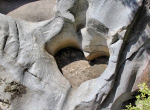
Hike the Heart Rock Trail
4.51.8 miThis short but nice hike near Crestline, CA in the San Bernadino Forest is one for the whole family. Although finding the trailhead/parking lot can be a bit confusing, it is definitely worth it. Driving in from the Inland Empire/LA Area, follow The Rim of the World Trail (SH18) until you see the...Read more -
Ventura County, California
Hike the Upper Las Virgenes Canyon Open Space Preserve Trail
8.6 mi / 1851 ft gainThe most popular point of entry is through the Victory Trailhead, which has ample parking. You can park on the street or you can pay $3 to park at the trailhead parking lot. You can also enter at the Upper Las Virgenes Canyon Trailhead at the northern end of Las Virgenes Canyon Road in Calabasas....Read more -
Stevenson Ranch, California
Mentryville: Pico Canyon Trail
7.07 mi / 1388 ft gainMentryville: Pico Canyon Trail is an out-and-back trail that takes you past scenic surroundings located near Stevenson Ranch, California.Read more -
Riverside, California
Hike Two Trees Trail
2.5 mi / 977 ft gainParking is free at the trailhead, but there is only room for approximately five cars. The trailhead is on the edge of a neighborhood, so you can park there if needed. From the parking lot, head west, and immediately veer right and across the bridge. If you go left at the first fork, you can stay ...Read more -
Orange, California
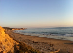
Crystal Cove Beach Loop
5.05.13 mi / 151 ft gainThis is a favorite morning or evening hike, run or stroll. Park in the lot with a state pass, head down the cliff and back, and you'll get an amazing workout. Tip: Time your outings for low tide as there will be more beach to walk on.Read more -
Aliso Viejo, California
Top of the World via West Ridge Trail
5.04.76 mi / 443 ft gainDirections to get here are pretty straight forward via the map. You park your car in a residential neighborhood along the street, and from there, you can't miss the entrance. The trail is paved for the first 100yds or so and after you make a right turn at the top, you'll be on dirt and sand the r...Read more

