Doyle, California
If you're in Doyle, California, one of the top outdoor adventures to consider is the hike along the Doyle Loop Trail. This scenic 4.5-mile loop is of moderate difficulty, perfect for those looking for a good workout amidst the beauty of the outdoors. As you navigate the trail, you'll come across the impressive Doyle Creek, a must-visit landmark known for its clear waters and stunning rock formations. The trail also offers a panoramic view of the surrounding mountains, making it a great spot for photography. Other outdoor activities in the area include fishing at the nearby Honey Lake and bird watching at the Skedaddle Wildlife Area. The best Trails and Outdoor Activities in Doyle, California, are sure to provide fun and adventure for all.
Top Spots in and near Doyle
-
Doyle, California
Camp at the Fort Sage OHV Area
The recreation area consists of approximately 29,000 acres of public land that is managed primarily for off highway vehicle use and winter deer range. Vehicle use within the recreation area is limited to designated roads and trails to ensure that the two primary uses remain compatible throughout ...Read more -
Reno, Nevada
Rock Climb The Pig
Pig Rock, aka The Pig, as its name suggests, is a pig-looking outcrop of volcanic tuff that has a variety of routes great for training and being introduced to trad climbing. There is no approach to the routes themselves, as you can park right at the base of The Pig. To get there, take Hwy 445/Pyr...Read more -
Reno, Nevada
Hike to the Monkey Condos and Needle Rock
7.25 mi / 1600 ft gainThis loop takes hikers past several features and areas of interest hidden in the Virginia Mountains about 25 miles north of Reno. These mountains are scenic and rugged, with towering dramatic features that make visitors feel immensely small amidst them. Couple that with how few visitors these roa...Read more -
Calpine, California
Camp at the Calpine Fire Lookout
5.0I think all explorers agree there is nothing more serene than being surrounded by nothing but wilderness. If you are one of these said explorers, a trip to Calpine's fire lookout is a must.Calpine is a forest fire lookout tower that was constructed in 1934 and is one of 3 remaining examples of th...Read more -
Reno, Nevada
Camp at Tamarack Bay on Pyramid Lake
5.00.25 miPyramid Lake is the last remnant of the vast Pleistocene Lake Lahontan which reached its peak at the end of the last ice-age, being the terminus of many of the glaciers and ice sheets which covered much of California, Oregon, Idaho, and Nevada.Today it is an oasis in the heart of the Basis and Ra...Read more -
Reno, Nevada
Catch a Sunset at Pyramid Lake
Catching a Sunset at Pyramid Lake is a unique experience. The high desert lake is surrounded by mountains, and strange rock formations. The reds and browns of the surrounding desert landscape light up during sunset. Combined with the blue salt water lake make for an amazing sunset. The lake will ...Read more -
Reno, Nevada
Peavine Peak Trail
3.08.89 mi / 2913 ft gainPeavine Peak Trail is a loop trail where you may see beautiful wildflowers located near Reno, Nevada.Read more -
Verdi, Nevada
Fly Fish the Truckee River
At just 121 miles long from Lake Tahoe to Pyramid Lake, the Truckee River continues to produce the largest trout in the Lower 48. Fly fisherman commonly divide the river into two reaches – East & West. And just outside of Reno in the small town of Verdi, the Bridge Street bridge is an excelle...Read more -
Reno, Nevada
Miners Trail to The "N"
3.51.89 mi / 371 ft gainMiners Trail to The "N" is an out-and-back trail that provides a good opportunity to view wildlife located near Reno, Nevada.Read more -
Reno, Nevada
Upper Chalk Creek Trail
4.01.44 mi / 121 ft gainUpper Chalk Creek Trail is an out-and-back trail located near Reno, Nevada.Read more -
Frazier Creek Road, California
Frazier Falls
4.01.06 mi / 79 ft gainFrazier Falls is the ultimate family hike. Because the paved trail is only a mile long round trip, this trail is open to nearly anyone. Because of its relativly easy access and family friendly nature, this trail can get busy during the summer months. To reach Frazier Falls from the town of Gra...Read more -
Reno, Nevada
May Arboretum and Herman Pond Trail
5.01.07 mi / 89 ft gainMay Arboretum and Herman Pond Trail is a loop trail where you may see beautiful wildflowers located near Reno, Nevada.Read more -
Plumas County, California
Little Jamison Falls
3.01.89 mi / 495 ft gainTo get to the falls from the town of Graeagle, CA take Graeagle-Johnsville off Highway 89 towards the town of Johnsville. After 4.5 miles take a left on a dirt road to Jamison Mine Day Use Parking. If you go over the bridge and into the town of Johnsville, you have gone too far. Continue down th...Read more -
Reno, Nevada
Oxbow Nature Study Area Nature Trail
4.00.77 mi / 23 ft gainOxbow Nature Study Area Nature Trail is a loop trail that takes you by a river located near Reno, Nevada.Read more -
Reno, Nevada
A Lazy (Fun) Float Down the River
4.5Start your day by heading to Tahoe City where the East and North Shores of Lake Tahoe meet. Be sure to grab supplies along the way including drinks, picnic lunch, sunscreen, coolers, floating devices (if you aren’t interested in renting) and maybe even some super soakers if you are planning to ...Read more -
Reno, Nevada
Dorostkar Park Nature Trail
3.01.48 mi / 39 ft gainDorostkar Park Nature Trail is a loop trail that takes you by a river located near Reno, Nevada.Read more
Top Activities
Camping and Lodging in Doyle
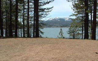
Big Cove
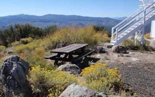
Black Mountain Lookout
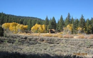
Crocker Guard Station
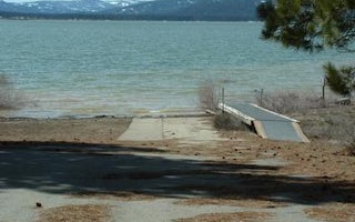
Grasshopper Flat
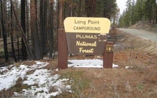
Long Point (Ca)
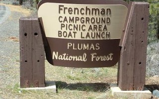
Frenchman


