Danville, California
The best Trails and Outdoor Activities in Danville, California, offer a variety of scenic adventures. The Las Trampas Regional Wilderness is a top pick for hikers, with its challenging trails that lead to panoramic views of the Bay and Valley. The Iron Horse Regional Trail is another must-visit, providing a multi-use, whole-family-friendly trail stretching over 27 miles. For a mix of history and nature, the Mount Diablo State Park offers a network of trails with stunning views, unique rock formations, and the historic Summit Museum. If you're into bird-watching, Osage Station Park features a beautiful rose garden and a variety of bird species. For water activities, the nearby Del Valle Regional Park houses a lake for boating and fishing. These outdoor attractions make Danville a great place for scenic outdoor adventures.
Top Spots in and near Danville
-
Burlingame, California
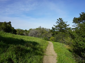
Hike the Ed Taylor Loop Trail in Mills Canyon
4.01.4 mi / 300 ft gainThis hike can be done at any time of year. Hiking in winter and spring means that many varieties of wildflowers will be present, and the creek will have much more water. Summer and fall mean higher temperatures and drier conditions, but the hike is still a pleasant experience. Begin the hike at t...Read more -
San Francisco, California
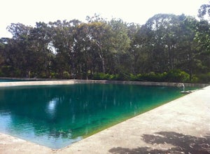
Golden Gate Angling & Casting Club
5.0The golden gate casting pools are a hidden gem in the park located on the other side of JFK from the Buffalo Paddock. Here you can practice your fly casting basics or pick up new forms casting (i.e. spey or double haul). The Golden Gate Angling and Casting Club has a clubhouse at the pond where s...Read more -
San Francisco, California
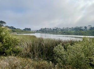
Lake Merced Loop
4.74.53 mi / 180 ft gainLake Merced Loop is a loop trail in the southwestern part of San Francisco. This trail is used for running and walking. You'll see plenty of people getting exercise or taking their dog for a stroll. There are also benches and tables around the loop. The lake itself is fresh water and is used for...Read more -
Corte Madera, California
Ring Mountain Loop
4.02.65 mi / 597 ft gainRing Mountain Open Space is an easy but uphill trail that take you to the top where you can explore more trails. Take the 101 exit for Paradise Dr in Corte Madera, follow the road, and park on the side of the road once you pass Westward Dr. Even though there are many places to start the trail fo...Read more -
Sausalito, California
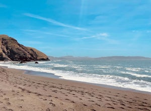
Black Sands Beach
5.00.54 mi / 285 ft gainBlack Sand Beach is a beautiful, mile-long stretch of black sand just north of the Golden Gate Bridge. On a sunny day, it’s best to try and arrive in the morning, as the parking lot can fill up quickly. To get down to the beach, you’ll need to hike for about 5 minutes down 250 or so wooden steps....Read more -
San Francisco, California
Sutro Baths Ruins
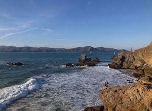
4.5Whether you simply look down on the ruins from the [conveniently located] parking lot above, or choose to walk down the stairs and explore, you will be greeted with stunning views of the Baths, and the Pacific Ocean stretching infinitely beyond. The highlight of any trip to the Sutro Baths is ...Read more -
San Francisco, California
Beach Bonfire at Ocean Beach
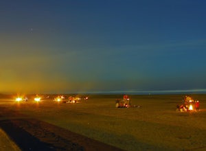
4.3Yes, it's often cold in the city. So, what's the best way to warm up? Bring some blankets, a jacket or two, and come out to Ocean Beach to enjoy a bonfire, a sunset, and some quality time with friends. The fire pits are between Fulton and Lincoln. On a sunny day, get there early if you want to ge...Read more -
San Francisco, California
Surf Ocean Beach
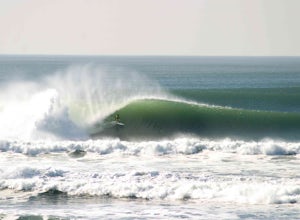
4.8Ocean Beach has long stints of good waves during the fall and winter months. During the fall, winds are favorably offshore creating warm and hollow conditions. Once winter hits, wave size can increase to the 12-15ft range on big swells and it gets pretty cold - that's when you'll see people break...Read more -
San Francisco, California
Bouldering at Ocean Beach
4.0Tired of climbing in a gym, check out one of the city's best outdoor climbing spots! Below the Cliff House at the north-end of Ocean Beach, there are several great bouldering problems and a retaining wall to climb. The rock is comprised of greenstone and sandstone with cracks and edges. These rou...Read more -
San Mateo County, California
Run Sawyer Camp Trail
5.012 mi / 300 ft gainThe Sawyer Camp Trail is a popular paved trail that stretches alongside the Crystal Springs Reservoir all the way to Hillcrest Blvd. The sixth mile crosses over the San Andreas Dam with nice views of San Andreas Lake.There are markers every half mile which makes timing and tracking your run easy....Read more -
San Francisco, California
Fort Funston Trail
4.71.81 mi / 253 ft gainFort Funston is an SF gem I discovered when looking for a dog friendly hike near the city. Located west of Lake Merced, you'll find a gorgeous Northern California beach oasis where you and your dog can run wild and free :). Parking is located at the top of the park where you'll descend a steep se...Read more -
San Bruno, California
Sweeney Ridge via Sneath Lane
4.53.88 mi / 646 ft gainStarting from the parking lot on Sneath Lane Trail, you’ll head through the gate and continue on the path up Sweeney Ridge. This is a 5.7 mile out-and-back trek. There is a 600 ft. elevation gain, which comes mainly in the first 1.5 miles of the trail. Your legs and lungs may hurt a bit, but if t...Read more -
Redwood City, California
Hike the Pulgas Ridge Open Space Preserve Loop
3.75.5 mi / 1000 ft gainGetting there: exit Highway 280 at Edgewood Road, travel .75 miles east, turn left on Crestview Drive, then immediately left again on Edmonds Road.Once parked, there are several different path options through the park. All of them connect in a large loop, and return to the parking lot. The Cordil...Read more -
Mill Valley, California
Rodeo Cove to Point Bonita Lighthouse
5.03.64 mi / 568 ft gainIf you're looking for a little hike and a lot of beach, you'll find your ideal combo at Rodeo Beach and Point Bonita Lighthouse. Park at the Marin Headlands Visitor Center at the head of the 0.8 mile trail to the beach. From the lighthouse to the beach, it will be another 1.5-2 miles there and ba...Read more -
Mill Valley, California
Miwok, Marincello and Bobcat Trail
8.17 mi / 1391 ft gainMiwok, Marincello and Bobcat Trail is a loop trail that takes you by a river located near Sausalito, California.Read more -
Pacifica, California
Milagra Overlook Trail
5.02.51 mi / 558 ft gainFound this hike with some friends after spending some time googling in my car when we were in the area looking for a quick hike with a view! Dog friendly Free parking (but quite limited) Ocean views Known to have gorgeous wildflower blooms (we were not there during this)Porta-potty type toilet...Read more

