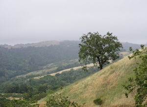
Corte Madera, California
The best Trails and Outdoor Activities in Corte Madera, California offer a top-notch mix of scenic beauty and outdoor adventures. The Ring Mountain Preserve is a must-visit for its unique rock formations and panoramic views of the Bay. The trail is moderately difficult and offers a great workout while enjoying the scenic surroundings. The Corte Madera Marsh State Marine Park is another top attraction, offering bird watching and beautiful views of the marshlands. For a leisurely stroll, head to the Corte Madera Creek Path, a paved trail that follows the creek and offers stunning views of Mount Tamalpais. These outdoor activities and attractions make Corte Madera a great destination for those seeking outdoor adventures.
Top Spots in and near Corte Madera
-
Half Moon Bay, California
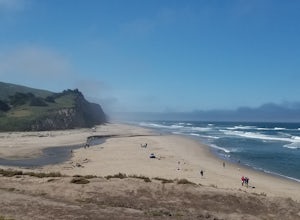
Stroll along the Southern Beaches at San Gregorio State Beach
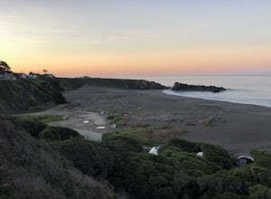
4.02.9 mi / 413 ft gainNot a trail per se, but approximately 3 miles (down and back) of beautiful beach to walk down. Lots of interesting caves, wild animals, and rock formations to discover. This is a popular location for sea kayakers. San Gregorio State Beach was originally founded to protect the estuary at the back ...Read more -
Occidental, California
Watershed View Trail
4.01.54 mi / 174 ft gainThe Watershed View Trail is located off of Coleman Valley Road and shares a trailhead with the Hunters Camp and Creekside Loop. This trail is a 1.5-mile out-and-back, which makes for a great trail to get the family out on to get some energy out. Be prepared for a muddy trail if there has been rec...Read more -
Occidental, California
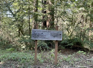
Hunters Camp and Creekside Loop
5.36 mi / 853 ft gainHunters Camp and Creekside Loop is an almost 6-mile loop off of Coleman Valley Road in Occidental, California. This trail can get pretty muddy during the rainy season, but as an added bonus, it makes the waterfall along the Creekside Trail that much better. Dogs are not permitted on this trail.Read more -
Calistoga, California
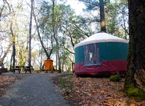
Camp at Bothe-Napa Valley SP
4.5Looking for a romantic getaway but you’d prefer to spend your nights around a campfire? This adventure is for you. This beautiful Napa Valley campground has it all – 10 miles of hiking trails, 1,900 acres to explore, and…new yurts! Yurts are basically cool circular tents that allow you enjoy the ...Read more -
Larkfield-Wikiup, California
Creekside Trail to Canyon Trail to Ridge Trail Loop
4.04.46 mi / 850 ft gainCreekside Trail to Canyon Trail to Ridge Trail Loop is a loop trail that takes you through a nice forest located near Santa Rosa, California.Read more -
Los Altos, California
Park Day at Foothills Park
1.7Disclaimer: Foothills Park requires proof of residence in Palo Alto or being accompanied by a resident of the city. Learn more here.Foothills Park is 2.7 miles west of 280 after exiting Page Mill. After exiting you take a short scenic drive up the hill and come to the park entrance on your right...Read more -
Forestville, California
Canoe the Russian River via Forestville
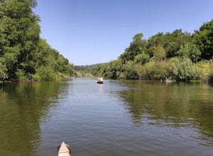
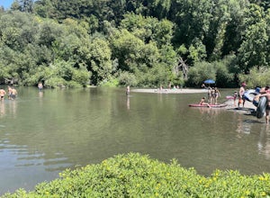
5.0Starting at Burke's Canoe in Forestville, CA this is a 10-mile self-guided canoe trip down the Russian River. You can rent your canoe from Burke's and launch from their beach. Burke's will also pick you up 10 miles down-river and shuttle you back to their parking lot.This canoe trip features lo...Read more -
Forestville, California
Steelhead Beach
Steelhead Beach offers two great spots to access the river. There's a small beach on the right-hand side of the beach (south end) and a launch site on the left (north end) of the beach. The launch point makes for a great spot to start your float down the river. Make sure you have a shuttle car or...Read more -
Fremont, California
Mission Peak via Hidden Valley Trail
4.26.16 mi / 2116 ft gainBreathtaking views of the Bay Area are your reward for making this climb to the top of Mission Peak. It’s a 3-mile trek to the top of the peak and then back down the same way. This is a moderate hike that provides a nice workout – so be prepared. Park at the Stanford Avenue entrance gate. There ...Read more -
Santa Clara County, California
Black Mountain via Rhus Ridge Trail
9.75 mi / 2992 ft gainJust outside of Los Altos is a very long ridge of mountains, one of which is Black Mountain. This is a very dry hike, with no tree canopy, so it can get very hot! Be aware that this can make the hike feel a lot more difficult with the sun beating down on you. Follow Rhus Ridge Trail to Black Mo...Read more -
Bodega Bay, California
Camp at Wright's Beach Campground
/ 32 ft gainThis campground is defined by the scenery: rugged headlands, craggy coastlines, natural arches, and quiet coves.Wright's Beach Campground features primitive camping - basic tent sites with picnic tables, fire rings, and amazing ocean views. This is a great location for Bay Area campers who want t...Read more -
Sonoma County, California
Kortum Trail
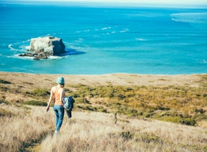
9.27 mi / 968 ft gainThe Kortum Trail in the Sonoma Coast State Park connects Goat Rock with Wrights Beach, winding along the top of the sea cliffs and affording incredible views of the California Coast and its numerous sea rocks and arches. To get there take the Pacific Coast Highway / Highway 1 to either Wright's...Read more -
San Jose, California
Catch a Sunset at Alviso Marina County Park
3.09 mi / 72 ft gainThis tranquil 20.6 acre park is open year round from 8am to sunset. It’s the gateway to the Don Edwards San Francisco Bay National Wildlife Refuge. It is filled with boardwalks, trails, and all kinds of wildlife. I went here with the sole intent of catching a pretty sunset after a long week. I g...Read more -
Los Altos, California
Hike the Monte Bello Open Space Preserve Loop
4.52.9 mi / 600 ft gainThis hike is best done in the late fall, winter, and spring so that the creek is running and the hills are green. Starting at the preserve parking lot, the first half of the hike is predominantly downhill. At the main trailhead, start in the direction of the Stevens Creek Nature Trail, as told by...Read more -
Forestville, California
Sunset Beach River Park
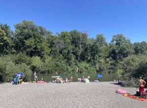
4.0Sunset Beach River Park is located off River Road in Forestville, California. The beach offers up picturesque views of the Russian River and is a great spot to end your float if starting at Steelhead Beach. The Beach: The beach is about a quarter of a mile walk from the parking area. Keep this ...Read more -
Los Altos, California
Hike to Black Mountain and Stevens Creek Canyon
4.06 mi / 950 ft gainThis hike can be done during any season, but for the creek to be running and for more comfortable temperatures, it is best to go on a cool winter or spring day. Starting at the preserve parking lot, take the Stevens Creek nature trail, allowing you to witness spectacular views of a large, foreste...Read more

