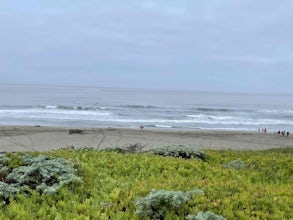
Corte Madera, California
The best Trails and Outdoor Activities in Corte Madera, California offer a top-notch mix of scenic beauty and outdoor adventures. The Ring Mountain Preserve is a must-visit for its unique rock formations and panoramic views of the Bay. The trail is moderately difficult and offers a great workout while enjoying the scenic surroundings. The Corte Madera Marsh State Marine Park is another top attraction, offering bird watching and beautiful views of the marshlands. For a leisurely stroll, head to the Corte Madera Creek Path, a paved trail that follows the creek and offers stunning views of Mount Tamalpais. These outdoor activities and attractions make Corte Madera a great destination for those seeking outdoor adventures.
Top Spots in and near Corte Madera
-
Vacaville, California
Bike the Cantelow Climb
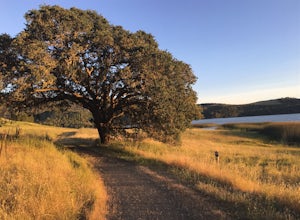
5.019.68 mi / 1119 ft gainBegin your ride from Lagoon Valley Park in Vacaville, California. There is a parking lot here if you drive to the start of your ride (the park entrance fee is $3 per vehicle per day). Head out of the parking lot and turn right onto Rivera Road where you'll cross over Hwy 80. The road becomes Cher...Read more -
Fremont, California
Lake Elizabeth Loop
3.02.1 mi / 69 ft gainLake Elizabeth is located in central Fremont. It offers a nice break from the city streets and can be enjoyed by walkers, joggers, and bikers alike. It is a park for all ages. Other attractions include volleyball nets, multiple playgrounds, and aqua adventure park, geese, and peddle boats. ...Read more -
Livermore, California
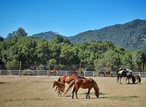
Condor, Volvan, Stone Corral, Coyote Loop
4.54.38 mi / 620 ft gainThis regional preserve is perfect for day hikes. There are also designated campsites and even a backpack campsite. Horses and dogs are welcome in the preserve. There are many different clearly marked trails that one can choose from. A good 4.5 mile loop is to start at the Park Residence entrance...Read more -
Bodega Bay, California
Camp at Bodega Dunes Campground
These kind of getaways shouldn't be planned many weeks before the trip. So we didn't booked a campground. And from this experience we learn that you don't have to reserve a campground. Just go there - don't panic when you see campground is full sign in the entrance. There are always available spo...Read more -
Stanford, California
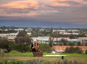
Sunset Picnic at Kite Hill
4.0Kite Hill is nothing more than what the name describes. A simple ascent less than 100 feet in elevation. But that 100 feet is all you need to feel like you discovered a little escape from the buzz below.To get there, you can park directly at the base of Kite Hill along Peter Coutts Rd and simply ...Read more -
Stanford, California
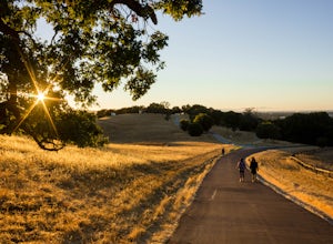
Stanford Dish Loop
4.43.67 mi / 472 ft gainIf you live in the Palo Alto area and are looking for a place to hike or run, The Dish is a close, and great way to get that exercise. Located right on the corner of Stanford Ave and Junipero Serra, you'll see that small gated entrance right when you drive on by. As far as parking goes, you're le...Read more -
Vacaville, California
Bike the Lake Berryessa Loop
55.82 mi / 1007 ft gainBegin your ride in Vacaville, California out of Alamo Creek Park (street parking is available and free). Head north on Alamo Drive and veer left onto Foothill Drive, then left (South) onto Pleasants Valley Road. After two miles, veer left onto Cherry Glen Road. Stay to the right when you reach th...Read more -
Bodega Bay, California
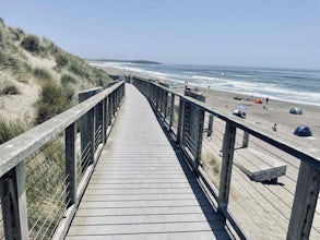
Bodega Dunes Beach
4.0Bodega Dunes Beach is located through the same entrance as Bodega Dunes Campground. There is a fee to enter the parking area for day use, but you can also access it without payment if you have a CA State Parks Pass. From the parking area heading toward the beach, you will see two picnic areas wi...Read more -
Sunol, California
Hike the Pleasanton Ridge Trail
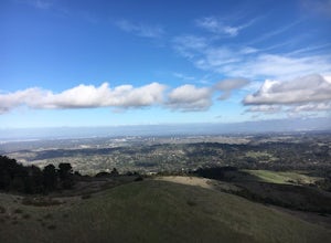
4.36.4 mi / 1443 ft gainPleasanton Ridge Trail is a 6.4 mile loop. The loop is shared by dog walkers, trail runners, hikers, mountain bikers and horseback riders. From the ridge your viewpoints will include Mount Diablo and the San Francisco Bay. This hike from the Foothills Staging Area is an excellent introduction ...Read more -
Occidental, California
LandPaths Grove of Old Trees
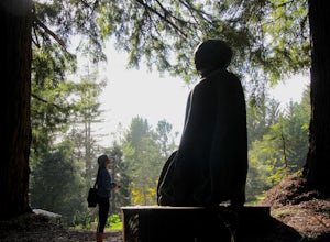
5.00.7 mi / 92 ft gainThe Grove of Old trees is a privately-owned preserve in Western Sonoma County that is open to the public year round. It is not large, only about 33 acres, but it makes a wonderful spot to go on a walk and to soak in the beauty of the redwoods. To get there from downtown Occidental, drive West up...Read more -
Saint Helena, California
Hike the Lake Hennessey Loop
5.06.4 mi / 900 ft gainThe "lollipop" hike starts at the "Ranch House" parking lot off of Chiles Pope Valley Road - alternatively, you can access from Conn Valley Road for a shortened 5.6-mile loop. You turn off Chiles Pope Valley Road onto Moore Creek Trail, drive past a private house (you can see it on the map) and t...Read more -
Portola Valley, California
Hike the Windy Hill Loop
4.37.2 mi / 1400 ft gainThis 7.2-mile loop starts by heading out of the parking lot and onto the Spring Ridge Trail. Head Southeast On Spring Ridge Trail until you connect with Hamms Gulch Trail. When you jump on Hamms Gulch, head southwest for ~3.4 miles as you circle the far end of the OSP. At this point, you will con...Read more -
Portola Valley, California
Sunrise Hike at Windy Hill
5.0There are a few options to this hike. Usually I would recommend parking in the lot on Portola Road, but because the preserve doesn't open until 30 minutes before sunrise, it's best to park up on Skyline Boulevard (Highway 35). There are two places to park up on Skyline, but the main parking lot i...Read more -
3160 North Shoreline Boulevard, California
SUP Shoreline Lake
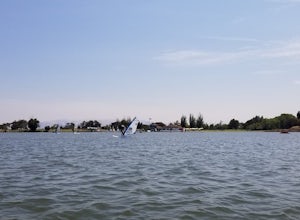
3.0Shoreline Lake features a big lake, many hiking and biking trails, and lot of picnic areas in Mountain View, CA. Kayaks, SUP, and various boats can be rented from the boat house. This is a great place to enjoy the water no matter what season it is. There are large grassy areas for kids to run and...Read more -
Sonoma County, California
Salmon Creek State Beach
4.0Salmon Creek State Beach located is located just off Highway 1, north of Bodega, California. This beach has a parking lot and restroom on the cliff side, just a short walk down to the beach. DogsBoth North and South Salmon Creek sections of the state beach are not dog friendly due to the Federa...Read more -
Palo Alto, California
Hike the Arastradero Preserve Loop
3.04.5 mi / 600 ft gainGetting There: From Hwy 280, take the Page Mill Road exit and head West on Page Mill Road, away from Downtown Palo Alto (if you're taking 101, exit on Oregon Expressway). Then turn right on Arastradero Road. There will be a small sign indicating the dirt parking lot on the eastern side of the str...Read more

