Coloma, California
Top Spots in and near Coloma
-
Echo Lake, California
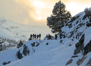
Cross-Country Ski or Snowshoe to Ralston Peak
5.0This loop is best accomplished in 2 days, spending a night at either Ralston, Tamarack, or Cagwin Lake. Although this route is similar to hiking Ralston Peak in the summer, the trails are completely covered by snow so solid navigation skills are necessary. A map is required to find the best possi...Read more -
Echo Lake, California
Lake Aloha
4.012.34 mi / 1552 ft gainYou'll start the hike at the Echo Lakes trailhead, just off of Highway 50 in Lake Tahoe. The trail meanders past Lower and Upper Echo Lakes, slowly gaining altitude as you pass a smattering of summer cabins. The climb is enough to make you feel it, but before you know it, it's over. Once cresti...Read more -
Echo Lake, California
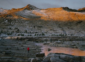
Explore the Alpine Lakes of Desolation Wilderness
5.0This incredible hike offers you the opportunity to visit the heart of desolation without climbing more than about 600 feet of elevation. Begin at the boat taxi at Lower Echo Lake. The taxi costs $12/person each way and is $5 each-way for your furry friend. The taxi leaves the dock at frequent int...Read more -
El Dorado County, California
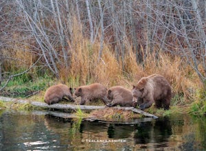
Photograph Black Bears at Taylor Creek, South Lake Tahoe
/ 30 ft gainLake Tahoe is a tourist attraction filled with spectacular views and a plethora of wildlife. However, one species in particular has made a lasting impression on both locals and tourists - black bears. The area around Lake Tahoe is prime bear habitat and cities in the vicinity are seeing a rising ...Read more -
Echo Lake, California
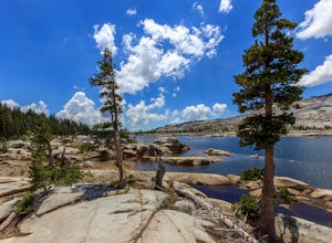
Hike the Echo Lake Trail
4.05 mi / 688 ft gainThe Echo Lakes Trail goes through California's Desolation Wilderness and features incredible views. This trail is rated as moderate, and is best for excited beginners or intermediate hikers. This hike takes roughly 3.5-4 hours. Dogs are allowed on trail if kept on leash. The trail is best used fr...Read more -
Echo Lake, California
Hike Flagpole Peak from the bottom of Echo Summit
3.5 mi / 1900 ft gainFor this hike there are two places you can start from. One is at the Echo Lakes parking lot and the other is at the bottom of Echo Summit (where we started at). Parking at the gun tower at the bottom of Echo Summit you'll be looking right at the face of Flagpole. After parking just off the side o...Read more -
Galt, California
Hike the Cosumnes River Walk Trail
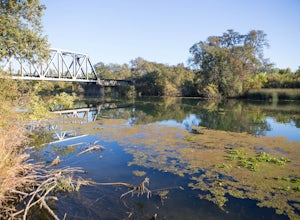
3.1 mi / 16 ft gainThis trail is a short, easy, accessible and beautiful trail for a nice afternoon walk (or photoshoot). I recommend the River Walk Trail (~3 miles). It is flat and easy to walk. There are multiple loops so you can turn back at any time. There are small bridges, access to the water, meadows, e...Read more -
South Lake Tahoe, California
Photograph Fallen Leaf Lake's Cascading Falls
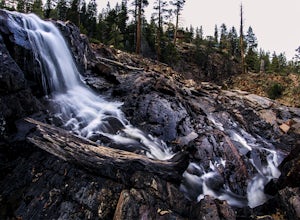
5.0This amazing waterfall is right off the road near the Fallen Leaf Campground. Once you enter the campground keep driving straight just a bit further and you will see a pull off on the right hand side. Pull off here and you should see the cascading waterfalls between the trees. Park here, get you...Read more -
South Lake Tahoe, California
Camp at Fallen Leaf Lake
5.0Fallen Leaf Lake is truly one of the more beautiful places in California. Separated from Lake Tahoe by just a one-mile strip of land, it feels worlds away from the crowds and fuss. The campground has over 200 sites that can be reserved here. There are endless hikes nearby including Mount Tallac a...Read more -
South Lake Tahoe, California
Photograph the Milky Way over Fallen Leaf Lake
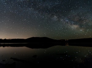
Fallen Leaf has been my favorite spot in all of Tahoe since I can remember. The beautiful shoreline sits right up against the base of Mt. Tallac with almost zero light pollution. It is one of my favorite spots to go and shoot the stars. There are tons of spots to pick from depending on what you a...Read more -
South Lake Tahoe, California
Swim at Fallen Leaf Lake
4.0Lake Tahoe has so many beautiful and breath-taking places to visit, hike, camp, wander around, etc. and Fallen Leaf Lake is definitely one of them. It's free to visit and park too and it is an easy hike from the parking area to the lake. The lake is very tranquil and serene and for those who wa...Read more -
South Lake Tahoe, California
Chillin at Lake Tahoe's Kiva Beach
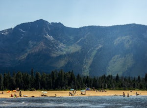
4.7Kiva is a secluded sandy crescent beach flanked by a beautiful meadow and mountain backdrop. This beach is rarely crowded and has free parking unlike other beaches in Tahoe. Kiva is a great place to bring dogs and is actually well known as a dog beach. Kiva is also accessible from the bike trail...Read more -
South Lake Tahoe, California
Paddle from Kiva Beach to Emerald Bay
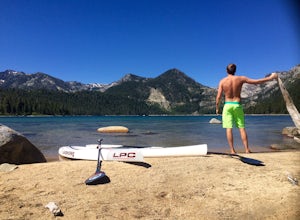
4.0Grab your paddleboard or rent one from Baldwin Beach, and head out along the southwest shores of Lake Tahoe towards Emerald Bay. Enjoy the pristine blue water and keep your head up for the occasional osprey or bald eagle.Once you make it to the bay, there are plenty of places to go. You can relax...Read more -
South Lake Tahoe, California
Hike the Fallen Leaf Lake Trail
5.08.1 mi / 859 ft gainThe Fallen Leaf Lake Trail is located in South Lake Tahoe, California. It is important to note that there is no trail on the east side of the lake. The trail turns into a paved road when you reach the marina after passing the campground. Additionally, lots of small trails jut out from the main tr...Read more -
South Lake Tahoe, California
Winter Paddle From Camp Richardson to Kiva Beach
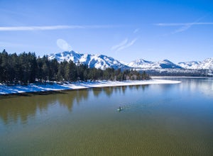
Starting at Camp Rich you might get some weird looks at the start, but it is all worth it! As you look out at the lake all you see is the beautiful crystal clear water reflecting the gorgeous snow covered mountains. As you throw your board in the water you begin your paddle along the shoreline. T...Read more -
Truckee, California
Hike the Truckee Tunnels
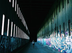
5.0To get here, drive along Donner Pass Rd. There is a turnoff about 100 yards away from the Donner Summit Bridge where you can park. The hike begins at a plaque for the China Wall- a large retaining wall built by Chinese railroad workers. Hike up the trail towards the tunnels. Some spots may requi...Read more

