Coloma, California
Top Spots in and near Coloma
-
Nevada City, California
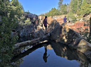
Emerald Pools
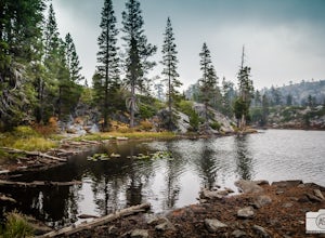
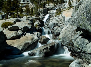
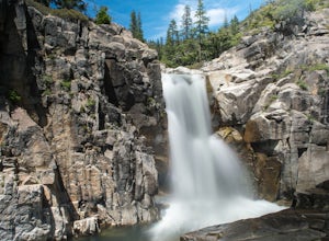
4.00.68 mi / 49 ft gainEmerald Pools is an out-and-back trail that takes you by a river located near Emigrant Gap, California.Read more -
Placer County, California
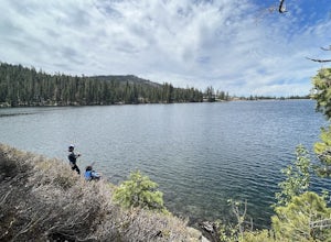
Paddle Lake Valley Reservoir
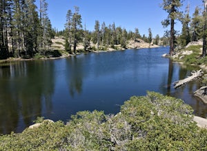
A perfect adventure spot off Highway 80, Lake Valley Reservoir offers paddlers prime parking and a paved boat launch to push off on a mountain lake with an island for picnicking. Lake speed is 10 mph so fishing boats with outboards are allowed but they have to take it slow. Post launch, head le...Read more -
Nevada City, California
Hike the Diggins Loop Trail
5.02.7 miCheck in and pay for your parking or present California State Parks Pass at the museum building in North Bloomfield. After paying for parking there are several different options to get onto the Diggins Loop trail. Access to the Diggins Loop trail can be found by the Park Headcounters by jumping...Read more -
Nevada City, California
Bowman Road and Meadow Lake Road to Henness Pass
3.035.45 mi / 4895 ft gainBowman Road and Meadow Lake Road to Henness Pass is a point-to-point trail that takes you by a lake located near Alta, California.Read more -
Emigrant Gap, California
33mi Loop to Donner Lake
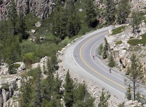
33 miWe love this 33-mile loop on old Highway 40 from Cisco Grove to Donner Lake and back. It has just about everything: a few flats, a long slow pull, rollers, a screaming downhill, a tough Alpine climb and a long, cruising downhill. Not to mention altitude. The ride starts at a little above 6,000 fe...Read more -
Twin Bridges, California
Summit Price & Agassiz from Desolation Wilderness
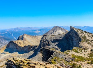
5.0Mount Price (9,975') is the second highest summit in the Desolation Wilderness, standing just eight feet lower than Pyramid Peak to the south. In between these two peaks stands Mount Agassiz (9,967'), whose overhanging summit resembles a granite wave poised to crash down into the Desolation Vall...Read more -
Emigrant Gap, California
Loch Leven Viewpoint Trail
5.06.41 mi / 1522 ft gainLoch Leven Viewpoint Trail is an out-and-back trail to a viewpoint of the Loch Leven Lakes that is moderately difficult located near Truckee, California. This trail is just under 6.5 miles. If you're willing to add a little more than a mile to your adventure, you can head all the way to Upper Loc...Read more -
Loch Leven Lakes Trailhead, California
Loch Leven Lakes Trail
4.47.6 mi / 1480 ft gainThe trail is easy to follow for the first half mile until you get to some large slabs of granite. As you continue up the trail look for stacked rocks, these will give you a an easy route as you continue up the mountain. The trail then starts to switch back eventually leading to a small bridge. Af...Read more -
Tahoe City, California
Hike the Ellis Peak Trail
5.06.3 mi / 1660 ft gainThe Ellis Peak Trail is close to North Lake Tahoe. The trail features scenic wildflowers in the spring and summer. Dogs are allowed on the trail but must be kept on leash. Directions from Truckee: Take Highway 80 south and drive to Tahoe City - continue south on Highway 89 from Tahoe City for 4....Read more -
Twin Bridges, California
Hike Pyramid Peak via Rocky Canyon
5.07.4 mi / 4100 ft gainPyramid Peak is the tallest peak in the Crystal Range and the Desolation Wilderness, just west of Lake Tahoe. On a clear day it can be seen from the Bay Area over 150 miles away. Named for its distinct shape, Pyramid a massive heap of glaciated granite slabs and talus, and the Rocky Canyon route ...Read more -
Twin Bridges, United States
Hike Horsetail Falls
4.22.8 mi / 700 ft gainGreat views are waiting for you at the top of Horsetail Falls. Pyramid Creek flows down the steep, glacier carved granite faces of Desolation Wilderness to create this awesome waterfall that is estimated to be about 800 feet tall. You will follow Pyramid Creek up the granite rocks to the top of t...Read more -
Twin Bridges, California
Ropi Lake via Pyramid Creek
4.74.87 mi / 1581 ft gainThe trailhead to begin this hike is located at: 38.8117 N, 120.1237 W. From Hwy 50 just south of Lake Tahoe, take Hwy 50 southwest for almost 11 miles, where you'll turn into the parking lot after crossing Pyramid Creek. There is a $5 day-use fee to park in the trailhead parking lot. The hike i...Read more -
Twin Bridges, California
Hiking to Ralston Peak
4.07 mi / 2375 ft gainStarting at the lower lot it's less than a mile to access the trail. The hike starts off in shade through a lot of red fir forest and continues at a steady upward route. Approximately 45 mins into the hike you'll come across a sign that says you are entering desolation wilderness. The forest will...Read more -
Truckee, California
Backpack the Palisades Creek Trail
4.015 mi / 2200 ft gainAfter driving out to Kidd Lakes and parking at the trailhead, you take off through some easy forest hiking past Cascade Lakes and Long Lake. Pay attention to the cairns marking the trail as you traverse across a large granite section with Devils Peak to your West. The trail is easy to follow and ...Read more -
Twin Bridges, California
Climb Knapsack Crack & Deception at Lover's Leap
If you're just getting into outdoor climbing, it can be pretty daunting. There are so many amazing routes and so much to be worried about. Plus, you need a partner you trust to put the work in with you. To start, read a book or two, and if you can, work with a guide once or twice to make sure you...Read more -
Truckee, California
Swim at Long Lake near Truckee
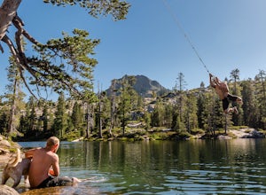
3.71.5 mi / 100 ft gainThe story goes that twenty or so years ago, long before the advent of the Royal Gorge Cross-Country Ski Area, some local Truckee boys decided to put a couple rope swings up on Long Lake near Soda Springs, CA, and they remain there to this day.Long Lake sits amongst a cluster of both man-made and ...Read more

