Channel Islands National Park, California
Looking for the best photography in Channel Islands National Park? We've got you covered with the top trails, trips, hiking, backpacking, camping and more around Channel Islands National Park. The detailed guides, photos, and reviews are all submitted by the Outbound community.
Top Photography Spots in and near Channel Islands National Park
-
Malibu, California
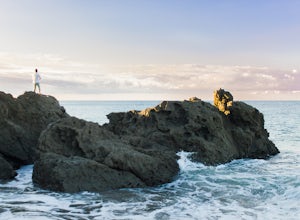
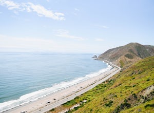
Camp at Point Mugu's Sycamore Canyon Campground
The beach at Point Mugu State Park is just far away enough from the bustling town of Malibu and its popular beaches to feel like you are still secluded with nature. A great way to be close to the beach at Point Mugu State Park and access it easily whenever you want would be to camp at the Sycamor...Read more -
Malibu, California
Scenic Trail
4.01.53 mi / 322 ft gainThe trailhead is located in the day use area of Point Mugu State Park. Park in the day use area parking lot. There is a parking fee of $12/day or $3/hr. From the parking lot, walk through the campground until you reach the old service road. After passing through the gate, turn left at the si...Read more -
9000 Pacific Coast Highway, California
Cookout at Sycamore Cove Beach
If you ever wanted to see dolphins and seals playing and feeding in the surf while getting ready to barbecue, this is the spot for it. Whether you want some summer rays or some of our wicked wacky winter weather, Sycamore Cove will deliver. Usually isolated enough to keep large crowds away, this ...Read more -
Ojai, California
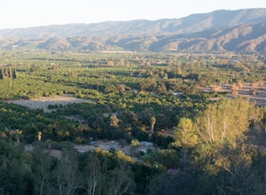
Camp at Dennison Park in Ojai Valley
Great little campsite very close to the town of Ojai. My discovery of this gem was totally coincidental. I was trying to book a hotel room in Ojai; however, that particular weekend all the rooms that were within my budget were sold out. Instead of giving up, I looked for alternative options and ...Read more -
Ojai, California
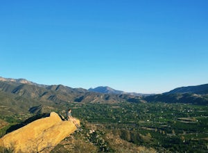
Couch Rock
3.51.3 mi / 627 ft gainDriving up Gridley Road away from Ojai you’ll come upon a small parking lot on your left and a gate barring the way to a dirt road. Park here, as close to the mountainside as possible and head onto the trail. Follow the trail until you see pass a bench, and start heading downhill. Keep your eye...Read more -
Ojai, California
Climb at Wheeler Gorge
Grab a dozen quick draws, your 60m rope, and head up Highway 33 out of Ojai for 7 miles (One of the routes here describes the crag perfectly, a Riparian Daydream). Drive through one tunnel, and continue on for another mile or two until you reach two tunnels in quick succession. The crag is in bet...Read more -
Ventura County, California
Sycamore Canyon Falls
3.3 mi / 545 ft gain...When arriving in the Santa Monica Mountains Recreational Area, take the drive and park at Sycamore Canyon parking lot. Parking is free and also offers restrooms and some history about the park. Follow the trailhead South until you come to the Satwiwa Culture Center on your left and a dome-like...Read more -
Newbury Park, California
Boney Peak
4.012.04 mi / 3025 ft gainThe hike begins at the parking lot for Rancho Sierra Vista in Newbury Park, CA just outside LA. Pull into the parking lot and walk on the dirt road until you see the trail for Boney Peak. It is easy to find because the peak can be seen from the beginning of the trail. The trail is generally an in...Read more -
Malibu, California
Grotto Trail
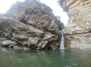
2.64 mi / 492 ft gainWho doesn't enjoy a hike that offers water, scenic views, boulder hopping and a subterranean cave? I know I do! The Grotto Trail begins at Circle X Ranch, which looks a bit like a small cowboy western store, and is approximately 6 miles from the Highway 1 (PCH). The parking is a tad tight, fittin...Read more -
12869 Yerba Buena Road, California
Mishe Mokwa Trail to Sandstone Peak
5.07.06 mi / 1755 ft gainTake Yerba Buena road to the trailhead. It is less zigzagged and shorter distance from PCH. Parking is easy provided that you start early in the morning. If the lot is full, you can always park on the side of the road. Bathroom is available at Sandstone Peak Trailhead parking lot, just 0.8 miles ...Read more -
Malibu, California
Sandstone Peak
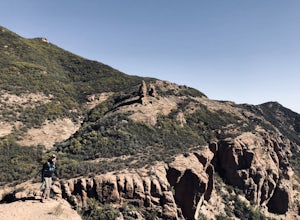
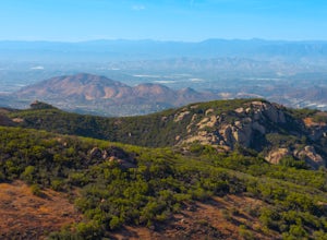
4.83.03 mi / 971 ft gainIf you live in Los Angeles, Sandstone Peak is a must! The hike to the summit can be done on a 2 mile hike up and back on Sandstone Peak Trail, or a 6.5 mile hike up and back on Backbone Trail. The shorter trail is more popular, yet both are equally rewarding. You won't believe the views from the...Read more -
Malibu, California
Balanced Rock via Sandstone Trailhead
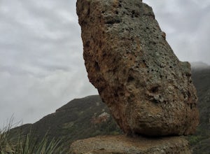
5.04.36 mi / 1125 ft gain...From the PCH, make a left turn on Yerba Buena road (turn right if you're coming South) for about 6 miles until you get to the dirt parking area. If the lot is full, there's extra parking on the side of the road. FYI, Balanced Rock can also be accessed by starting at the Mishe Mokwa trailhead,...Read more -
Santa Paula, California
Santa Paula Punch Bowls
3.66.5 mi / 1037 ft gainThis is a 6.5 mile trail, out and back. Parking is available along Ojai St, and the trail starts at the entrance of Thomas Aquinas College. Follow the paved road that goes around the school, until you reach a fork on the road, then stay right. The trail will take you through Ferndale Ranch, just ...Read more -
Maricopa, California
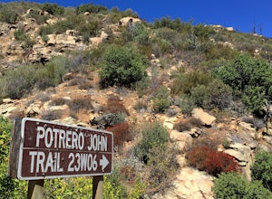
Potrero John Trail
5.03.51 mi / 627 ft gainThe Potrero John Trail is only 1.75 miles one-way, and is mostly used for hiking. It is right off Highway 33- driving north on the 33, the trailhead is on the right side of the street, right after the Potrero John Bridge (parking is fairly limited so the earlier you get there the better). There ...Read more -
Ojai, California
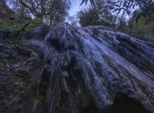
Rose Valley Falls
5.00.68 mi / 256 ft gain...It's not often that you come across 100 ft waterfalls. This moderate to easy hike to Rose Valley Falls leads you to one of the tallest waterfalls in the Los Padres National Forest. The hike begins at Rose Valley Campground. If you're not staying at a campsite, park outside the entrance of the ...Read more

