Cayucos, California
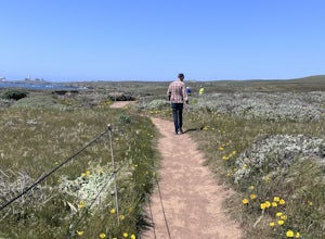
Cayucos, California, is a top destination for outdoor adventures. One of the best trails is the Estero Bluffs Trail, a must-visit for its scenic beauty. This trail offers stunning views of the Pacific Ocean and unique rock formations. It's a moderate difficulty hike, perfect for those seeking a bit of a challenge. Along the way, you'll encounter the Cayucos Creek, a small but beautiful body of water. Other outdoor activities in and near Cayucos include fishing on the historic Cayucos Pier and beachcombing along the sandy shores. Nearby, Harmony Headlands State Park offers additional hiking opportunities with panoramic ocean views. For those seeking a bit more adventure, Morro Rock, a notable landmark, is just a short drive away. Enjoy the best trails and outdoor activities in and near Cayucos, California!
Top Spots in and near Cayucos
-
San Luis Obispo, California
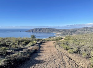
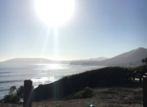
Ontario Ridge to Shell Beach Bluff Trail Loop
4.02.79 mi / 679 ft gainOntario Ridge to Shell Beach Bluff Trail Loop is a loop trail where you may see beautiful wildflowers located near Avila Beach, California.Read more -
San Luis Obispo, California
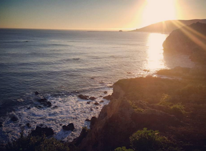
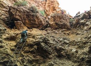
Catch the Sunset at the Avila Sea Caves
4.0When I attended Cal Poly San Luis Obispo, I would come out to this place to watch the sunset. It was my favorite spot to sit on a rock and take in the beautiful scenery as the sun went down. You don't really have to hike to get a nice view, you can park the car and walk out to the rock cliffs and...Read more -
Paso Robles, California
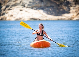
Kayak Lake Nacimiento
Lake Nacimiento near Paso Robles, CA is a gorgeous reservoir used for kayaking, paddle boarding, and all manner of water sports. To get there, from Highway 101 take the 24th street exit in Paso Robles west till it turns into Lake Nacimiento Drive. Lake Nacimiento Drive will eventually turn into G...Read more -
Paso Robles, California
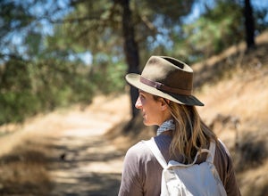
Hike the Shoreline Trail
1.05.5 mi / 1100 ft gainThe Shoreline Trail on Lake Nacimiento near Paso Robles, CA is a 5.6 mile trail used for hiking and trail running and located near Lake Nacimiento Resort. To get there, from Highway 101 take the 24th street exit in Paso Robles west till it turns into Lake Nacimiento Drive. Lake Nacimiento Drive w...Read more -
Paso Robles, California
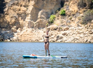
Stand Up Paddle Board at Lake Nacimiento
Lake Nacimiento near Paso Robles, CA is a gorgeous reservoir used for kayaking, paddle boarding, and all manner of water sports. To get there, from Highway 101 take the 24th street exit in Paso Robles west till it turns into Lake Nacimiento Drive. Lake Nacimiento Drive will eventually turn into G...Read more -
Pismo Beach, California
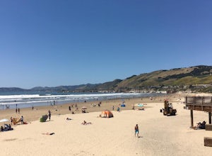
Surf Shell Beach
5.0Shell Beach is north of downtown Pismo Beach. This is a fun wave that works best during the fall and winter months. It's a beach break with both lefts and rights. The wave is rippable and is less popular than waves at the pier or at Morro Bay. However, the wave is much less consistent than the ot...Read more -
San Simeon, California
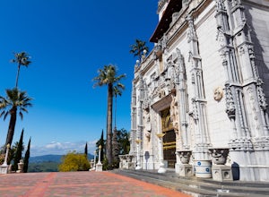
Explore Hearst Castle
4.5Hearst CastleYou always hear about it but rarely do you make the necessary full day stop to visit the castle with Big Sur just around the corner.Hearst Castle, located high above the ocean, was the creation of two extraordinary individuals, William Randolph Hearst, and architect Julia Morgan.They...Read more -
San Simeon, California
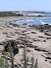
Elephant Seal Vista Point
5.0Elephant Seal Vista Point is a favorite place to see the elephant seals. If you’re in the area and have the opportunity, it's a must see. During the Spring, the adult elephant seals and the baby seals are out. Nearby are easy, clearly marked, walking paths, along the cliffs edge. Dogs are not all...Read more -
Santa Margarita, California
Rinconada Mineral Mines
1.32 mi / 472 ft gainMy friends and I recently visited this abandoned mercury mine. The site was cleaned-up by the EPA many years ago, but much of the old equipment remains. Up the hill from the equipment are several deep cuts in the earth and a humongous hole in the ground. The sediment at edges of this hole are VER...Read more -
San Simeon, California
Elephant Seal Vista Point Trail
5.05.27 mi / 184 ft gainElephant Seal Vista Point Trail is an out-and-back trail that provides a good opportunity to view wildlife located near San Simeon, California.Read more -
Oceano, California
Camp at Pismo State Beach
4.7Hiking along nature trails, swimming, and surf fishing are all possible here, including wheelchair accessible fishing at Ocean Lagoon. Facilities consist of fire rings, restrooms, and showers. Restaurants are not far from the campground, as well. Make your reservation here.Read more -
Oceano, California
Catch a sunset at the Oceano Dunes
Driving on the beach is fun, and there are few places in California where you can legally do it. Just south of Pismo Beach you'll find Oceano Dunes. Pay the $4.00 entrance fee and drive your car right onto the beach. Keep an eye on tides and watch out for deep sand and sneaker waves! You won't be...Read more -
Arroyo Grande, California
Explore the Guadalupe-Nipomo Dunes
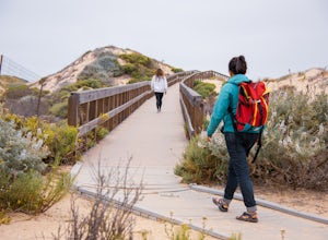
The Guadalupe-Nipomo Dunes and nearby Lake Oso Flaco are home to many endangered and threatened species of plants and animals. A beautiful, short boardwalk takes you from the parking lot, over Lake Oso Flaco, and through the dunes before arriving at the ocean. Enjoy the local wildlife and abundan...Read more -
San Simeon, California
Ragged Point Trail
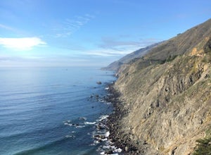
4.50.81 mi / 249 ft gainRagged Point is a quick stop off Hwy1 in Big Sur. It offers amazing vistas of where the mountains meet the ocean. There are scenic spots overlooking both the North and the South. The southern vista overlooks San Carpoforo Creek. Big Sur is truly one of the most beautiful places in California, and...Read more -
Big Sur, California
Salmon Creek Falls
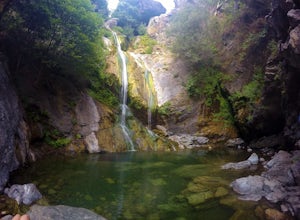
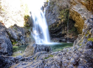
5.00.29 mi / 102 ft gainThe trailhead to Salmon Creek Falls is located along a pullout just 45 miles south of Pfieffer Burns State Park on the Highway 1. The falls are only about .25 miles from the trailhead, perfect for a quick visit if you are already driving through Big Sur. Though the Salmon Creek Trail continues on...Read more -
Big Sur, California
Salmon Creek Trail to Spruce & Estrella Camps
4.56.07 mi / 1919 ft gainFeel free to hike Salmon Creek Trail at your own pace – you can choose to turn back at any point, or at the Spruce (2 miles in) or Estrella (3.25 miles in) sites. The trail leads to open vistas of the coast, giving stunning views of the cliffs and ocean. Around 2 miles in, follow the fork to the...Read more

