Castaic, California
Looking for the best mountain biking in Castaic? We've got you covered with the top trails, trips, hiking, backpacking, camping and more around Castaic. The detailed guides, photos, and reviews are all submitted by the Outbound community.
Top Mountain Biking Spots in and near Castaic
-
Stevenson Ranch, California
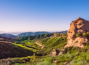
Hike the Towsley Canyon Loop
4.75.1 mi / 1340 ft gainThe Towsley Canyon Loop can be done in either a clockwise or counter-clockwise loop. The clockwise path starts with a gradual ascent through Wiley Canyon and steep descent into the Towsley Gorge while a counter-clockwise route starts with a steep climb out of Towsley Canyon and a gradual descent ...Read more -
Los Angeles, California
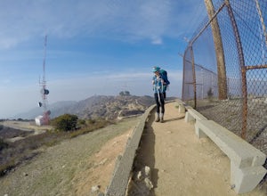
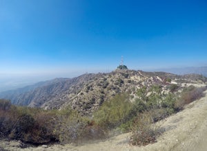
Verdugo Mountain Traverse
5.012.13 mi / 0 ft gainThe Verdugo Mountain Range is a small, rugged range spanning across the northeast end of the San Fernando Valley from Sun Valley to Glendale. With close to 50 miles of graded and well-maintained trails, the Verdugos are surprisingly underutilized and make a great place for someone looking to esca...Read more -
Los Angeles, California
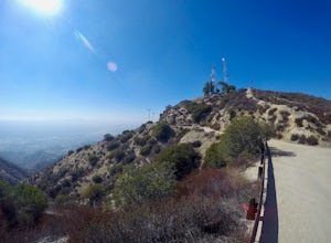
Verdugo's North Ridge Trail
12.7 mi / 2684 ft gainThe Verdugo Mountain Range is a small, rugged range spanning across the northeast end of the San Fernando Valley from Sun Valley to Glendale. With close to 50 miles of graded and well-maintained trails, the Verdugos are surprisingly underutilized and make a great place for someone looking to esca...Read more -
Topanga, California
Calabasas Peak Motorway
7.23 mi / 1565 ft gainGetting There You can, from Los Angeles, go one of three ways: take I-405 to US-101 and head west, or from downtown, take US-101 the whole way, OR, get on I-10 from the Westside or east of there and take that until it becomes PCH, then take that to Topanga Canyon (turn left onto Old Topanga Cany...Read more -
Los Angeles, California
Verdugo Peak via Hostetter Fire Road
5.07.39 mi / 1627 ft gainVerdugo Peak, at 3000 feet, is accessible from multiple directions and trails along the Verdugo Range. The most direct route to the top is Hostetter Fire Road, a 3.6-mile hard-packed dirt trail that climbs 1600 feet to the 3,126-foot summit. The hike begins at the dirt parking lot off of La Tuna ...Read more -
Burbank, California
Old Youth Camp Loop
2.59 mi / 732 ft gainThe Old Youth Camp Loop is a 2.6-mile loop with over 700 feet of elevation gain that can be ran, hiked, or even mountain biked if you prefer. While not completely empty the area receives very little visitors and is a great place to enjoy a little more solitude than near by hiking locations. The l...Read more -
Topanga, California
Eagle Rock in Topanga State Park
4.45.99 mi / 1106 ft gainEagle Rock is located in Topanga State Park in the Santa Monica Mountains, and it is a unique formation that provides an amazing panoramic view of Santa Monica. On a clear day, the Catalina Islands and Palos Verdes Peninsula are visible. You can park on along the street of Entrada Rd. or pay $10 ...Read more -
Topanga, California
Parker Mesa Overlook via Trippet Ranch
4.06.75 mi / 1181 ft gainThis is a 6.8 mile round-trip hike that starts at Trippet Ranch in Topanga Canyon. Even though the range in elevation is 400 feet from peak to trough, the up and down trail totals to approximately 1800 feet elevation gain making this a beginner to intermediate adventure. The trail itself is pre...Read more -
Glendale, California
Brand Library Loop
5.06.56 mi / 2648 ft gainYour adventure will start at the Brand Library parking lot. Walk behind the library towards the gated day use area and you will find the start of the trail on your right, Las Flores MTWY. The first half-mile rises over 500 feet to a plateau, equipped with benches, a park map and views of Griffit...Read more -
Los Angeles, California
Cahuenga Peak Loop Trail
3.88 mi / 1237 ft gainThe Cahuenga Peak Loop is perfect for trail runners and hikers. The trailhead is in Hollywood Hills - park off to the side on a street. This trail features beautiful wildflowers in the spring. Dogs are allowed on the trail if kept on leash. The trail can be dusty and dirty, so watch your step. Ke...Read more -
Los Angeles, California
Lake Hollywood Trail
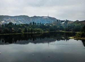
4.73.35 mi / 249 ft gainThe Lake Hollywood Trail features beautiful wildflowers in the spring and is wheelchair accessible. A majority of the trail is paved, but approximately .6 miles is on dirt. Some of the trail is shaded, but bring sun protection regardless - especially in the summer. Dogs are not allowed on this tr...Read more -
Glendale, California
Beaudry Loop
5.79 mi / 1572 ft gainThe Beaudry Loop trail features a bench at the top with 360 degree views of the greater LA area. The trailhead is a little hidden on Beaudry Blvd. As Beaudry Blvd turns into Beaudry Terrace, you'll see cars parked at the paved trailhead. There is very little shade on the trail so bring ample sun...Read more -
Malibu, California
Hike the Backbone East from Latigo Canyon
3.8 mi / 780 ft gainStarting in a dusty, generally empty parking lot, at about 2,000' ASL, you'll go immediately due north, up a few more feet before you drop down into another canyon covered in live oaks (and poison oak), thistles, ferns, and wildflowers. There's only one trail. It's windy, it's not hilly, it just ...Read more -
Ventura County, California
Sycamore Canyon Falls
3.3 mi / 545 ft gain...When arriving in the Santa Monica Mountains Recreational Area, take the drive and park at Sycamore Canyon parking lot. Parking is free and also offers restrooms and some history about the park. Follow the trailhead South until you come to the Satwiwa Culture Center on your left and a dome-like...Read more -
Los Angeles, California
Inspiration Point Loop Trail
2.36 mi / 486 ft gainThe Inspiration Point 2.3 mile loop hike in Will Rogers State Park is a family-friendly hike or after-work run near Los Angeles, California. It’s a great dirt trail for all skill levels and features scenic views and beautifully budding wildflowers. You’ll get to escape the city and take in the br...Read more -
Altadena, California
Gabrieleno Trail: Switzer Falls to Hahamonga Watershed
5.010.14 mi / 814 ft gainGabrieleno Trail: Switzer Falls to Hahamonga Watershed is a point-to-point trail that takes you by a waterfall located near La Canada Flintridge, California.Read more


