Carmel Valley, California
Looking for the best photography in Carmel Valley? We've got you covered with the top trails, trips, hiking, backpacking, camping and more around Carmel Valley. The detailed guides, photos, and reviews are all submitted by the Outbound community.
Top Photography Spots in and near Carmel Valley
-
Salinas, California
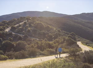
Hike or Trail Run around Toro Park
Just a short drive from downtown Monterey you will find yourself amongst the rugged yet serene hills ofToro Park. For a $2 admission fee you will have access to 20+ miles of trails that climb through canyons and run along ridgelines to peaks with views of the ocean in the distance. While the map ...Read more -
Sand City, California
Bikepack Highway 1: Monterey to San Luis Obispo
130 mi / 9000 ft gainPlease be aware that this is NOT a route for beginning cyclist. It is a very hilly route and you will be sharing the road with cars for the entire route, the shoulder is sometimes very slim. This should not scare you from doing the trip, just be aware of the risks and dangers you might be facing....Read more -
Carmel-by-the-Sea, California
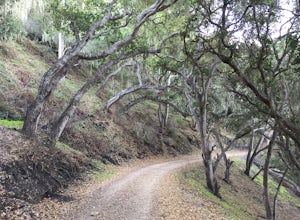
Hike to the Top of Inspiration Point
5.01.3 mi / 850 ft gainThis magnificent trail was recently converted into part of the Monterey Regional Parks System. Walk through pastures of cows, through coast oaks, up a steep incline with vast views of Carmel Valley, Carmel and the Pacific Ocean up to the top where a picnic table awaits you at Inspiration Point. T...Read more -
Carmel-by-the-Sea, California
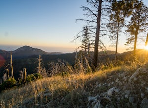
Pat Springs via Skinners Ridge
3.513.18 mi / 3645 ft gainBackpacking to Pat Springs is a way to see Big Sur and the San Lucia mountains from a perspective that few get to experience. The Ventana Wilderness is rugged and remote, yet Pat Springs is one of the most beautiful campgrounds around that will allow you to take in this amazing terrain. To get ...Read more -
Carmel-by-the-Sea, California
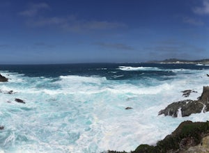
Soberanes Point
1.82 mi / 295 ft gainGarrapata State Park is located along California's Highway 1, roughly 5 miles south of Carmel, California. The park is entirely free with multiple pull-outs and serves as one of the first grand views travelers encounter while heading south from the Monterey Peninsula to southern California. Garra...Read more -
Carmel-by-the-Sea, California
Hike along the Carmel River Beach Trail
1 mi / 100 ft gainKnown as "Ribera Beach" by locals, this stretch of land nestled between Carmel River State Beach and Monastery Beach is not to be missed! The trails are easy to get to and can be accessed by 4 locations. The first entrance is on Highway 1 at the Bay School (between Ribera Road and Monastery Beach...Read more -
Monterey, California
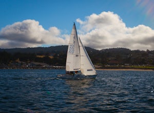
Sail on Monterey Bay
Few places along the California coast are perfectly suited for a day of sailing. While San Diego, Santa Barbara, Santa Monica, Long Beach, San Francisco, and Catalina Island offer sailing adventures, none of them offer wide open Pacific waters without dangerous commercial traffic to navigate. The...Read more -
Carmel-by-the-Sea, California
Secluded Beach Near Soberanes Point
5.00.2 mi / 40 ft gainWhen we stumbled upon this beach we were thrilled to have such great views with no crowds. There is plenty of room to lay out in the sun, you can swim in the ocean to cool off, and the beach is surrounded by beautiful landscape. If you decide to swim be very careful as the waves and currents ca...Read more -
Carmel-by-the-Sea, California
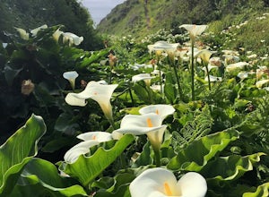
Calla Lily Valley
4.50.31 mi / 46 ft gainParking for Calla Lily Valley is available along the dirt pullout at Gate 19 for Garrapata State Park, near mile-marker 63. Signs are small and difficult to see. Follow the path between the guide wires and take the right fork, heading north to the bluff overlooking the beach. Continue north and f...Read more -
Carmel-by-the-Sea, California
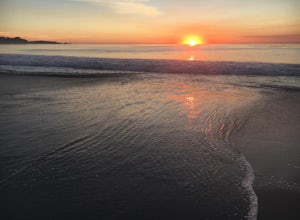
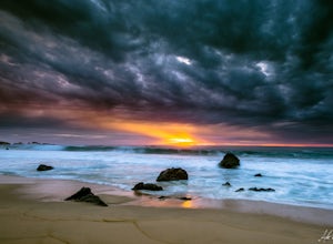
Catch a Sunset at Carmel Beach
4.7It’s a dream of mine to live in Carmel-by-the-Sea. You might recognize Carmel because Clint Eastwood was the mayor from 1986 to 1988. An idiosyncrasy you may not know about Carmel is the fact that there are no street addresses on any house in Carmel. Everyone gets their mail at the post office...Read more -
Carmel-by-the-Sea, California
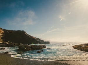
Garrapata Beach
4.6A wonderful roadside beach and state park. Easy parking on both sides of Hwy. 1 with short access trails. There are almost 2 miles of coastline trails heading north and south from the parking area. The north end of the beach is great for swimming and surfing when the sea is calm and the south ...Read more -
Carmel-by-the-Sea, California
Whalers Cove Loop
4.31.42 mi / 253 ft gainPoint Lobos is one of the hidden gems of the California coast. Located just off of Route 1 right after Monterey, Point Lobos is a state park on the coast. The cost to explore inside is ten dollars, but so worth it. As you explore, be sure to hike around Whalers Cove, which is incredible at sunse...Read more -
Marina, California
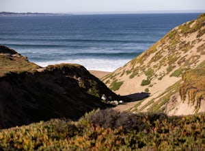
Explore Fort Ord Dunes State Park
5.0One of the best parts of Monterey is the beaches – but their popularity is also their weakness, so if you want seclusion head to the lesser-known Fort Ord Dunes for solitude and beautiful views of Monterey Bay and the Pacific Coast. Historically, this location was chosen as the location for Fort ...Read more -
Monterey, California
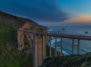
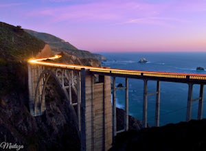
Bixby Bridge
4.7You can't miss this bridge if you are driving north on highway one. The best time for capturing sunsets behind the bridge is December. The positioning of the sun will better coincide with the location of the bridge.There are four main angles to capture the bridge: The first two are up close on ...Read more -
Pacific Grove, California
Explore Lovers Point
5.0LOVERS POINT PARK AND BEACH:According to local legend, this park was originally called "Lovers of Jesus Point," back in the era when Pacific Grove was a Methodist retreat camp. Since the late 1800s, the beach at Lovers Point in Pacific Grove has been a popular spot for boating and swimming, and o...Read more -
Del Monte Forest, California
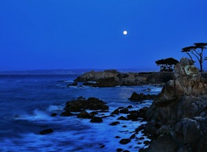
Explore Highway 1 from Carmel to Big Sur
4.6Being from the Central Coast, every time I visit the area I like to do the same trip - Simply because it is amazing. The trip starts along 17 mile drive located in Carmel. From the road, you see the Central Coast icon, the Lone Cypress. Being one of the most photographed trees in North America, i...Read more

