Carmel Valley, California
Looking for the best photography in Carmel Valley? We've got you covered with the top trails, trips, hiking, backpacking, camping and more around Carmel Valley. The detailed guides, photos, and reviews are all submitted by the Outbound community.
Top Photography Spots in and near Carmel Valley
-
Big Sur, California
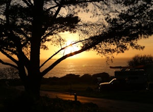
Clifftop Camping & Hot Springs in Big Sur
4.7Campsite:There is nothing quite like driving or biking along US-1, the Pacific Coast Highway. Make sure you get a chance to do the drive during the day so that you can see all that Big Sur has to offer. Be careful when pulling off especially onto the shoulder and never stop on a curve in the road...Read more -
Santa Cruz, California
Photograph the UC Santa Cruz Arboretum
5.0No matter the time you'll decide to visit the UC Santa Cruz Arboretum, you'll have thousands of interesting plants and birds to see and watch. The Arboretum is located on the west side of UCSC campus, between the main campus entrance and the west entrance. Parking is 5$ for adults and 2$ for chil...Read more -
Santa Cruz, California
Hike the Rincon Fire Trail
5.01 mi / 300 ft gainThe Rincon Fire Trail Starts at a small dirt parking lot next to CA-9 and traverses down the mountain to the San Lorenzo River Connecting with the Pipeline Trail. The trail can be a simple one of a mile out and back or up to 5 miles depending on your preference. The elevation will change by about...Read more -
Big Sur, California
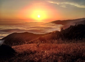
Camp on Prewitt Ridge
4.2After much time in Big Sur, it became quickly apparent that Prewitt Ridge is the crown jewel of camping in the area. It has even been described as "the most beautiful car camping spot on god's green earth" and that doesn't do it justice.While Prewitt Ridge is an officially designated campground i...Read more -
Morgan Hill, California
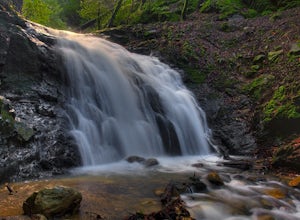
Uvas Canyon Waterfall Hike
4.01.5 miUvas Canyon offers up to 6-miles of hiking trails, which includes a 1.5 mile loop, which runs along Swanson Creek and passes many of the park's waterfalls. To take short loop, head North out of the parking lot to the Swanson Creek Trail. Once you find Swanson Creek Trail, you'll be on the Waterfa...Read more -
Felton, California
Observation Deck Loop in Henry Cowell Redwoods SP
4.35.3 mi / 869 ft gainThe trail starts at the Henry Cowell Redwoods State Park Visitors Center. Grab a map in the center, as your hike has you turning onto a few different trails to get to the observation deck. Starting at the Redwood Grove Loop Trail, follow the trail until it connects with the Pipeline Road Trail ...Read more -
Felton, California
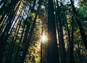
Redwood Grove Loop
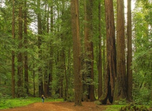
4.00.93 mi / 144 ft gainHenry Cowell Redwoods State Park is located just a few miles north of the city of Santa Cruz, along Highway 9. The park is home to an array of hiking and biking trails, but the crown jewel of the park is the Redwood Grove Loop Trail, which is only a 1/4 mile in from the park's entrance. Many peo...Read more -
Santa Cruz, California
Photographing the Sunset at Panther Beach
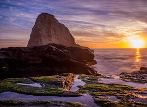
5.0Probably my favorite beach in the Santa Cruz area. Panther Beach lies just south of Davenport along the beautiful Hwy 1. Park at a large dirt pull out on the left hand side if your heading north from Santa Cruz. The trail down to the beach is steep and not that well maintained so watch your step....Read more -
Big Sur, California
Sand Dollar Beach
4.80.35 mi / 82 ft gainHead into Big Sur and get a campsite at Plaskett Creek. You can either make a reservation through recreation.gov or show up and hope to luck out on one of the first-come, first-serve campsites. The campground is much more crowded during the prime summer months, so if you want to get better surf ...Read more -
Davenport, California
Beach Picnic at Shark Fin Cove
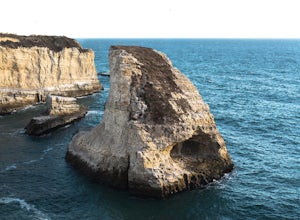
4.3Shark Fin Cove is a large rock formation in an inlet off Highway 1 in Northern California. It is located 1 mile south of Davenport and 10 miles north of Santa Cruz. There is a sizable parking lot located on the side of Highway 1 to park in. Walk down the path left of the parking lot and cross the...Read more -
Big Sur, California
Explore San Carpoforo Creek
4.0Just south of Ragged Point, San Carpoforo Creek is an open beach that is fun to explore. There is a quick hike from the highway to the beach. During heavy rain years, the creek will be flowing deeper, so you might need to do some swimming. There are waves occasionally here with a couple of surfe...Read more -
Monterey County, California
Camp at San Martin Top
San Martin Top is a magical spot overlooking the coast in Big Sur. Accessible via a rutted, windy dirt road, it’s remote enough to guarantee some privacy though you’ll see fellow adventurous souls on surrounding ridges. Take care on the drive up, then set up camp overlooking the ocean or rolling ...Read more -
Davenport, California
Hike around Greyhound Beach and Climb Greyhound Rock
0.7 mi / 0 ft gainThe trailhead is at the Greyhound Rock State Marine Conservation Area which is directly off Highway 1. There is a large paved parking lot with a good amount of trees so finding a shady parking spot isn't that difficult (if that's important to you). The parking lot is located on the beach cliffs ...Read more

