Camarillo, California
Camarillo, California is a hub for top outdoor adventures. One of the best trails is the Calleguas Creek Bike Path. This 6-mile trail offers scenic views of the local farmland and the Santa Monica Mountains. With its flat terrain and paved path, it's suitable for all fitness levels. For a more challenging trail, head to the Camarillo Grove Park. The park's trail network winds through dense oak groves and past unique rock formations. It's a must-visit for birdwatchers, with over 150 species spotted in the park. Nearby, the Conejo Valley Botanic Garden offers 33 acres of native plants and walking paths. For water-based activities, head to the nearby Channel Islands Harbor where you can kayak, sail, or simply enjoy the ocean views. With these attractions, Camarillo is a great destination for outdoor activities.
Top Spots in and near Camarillo
-
Ventura, California
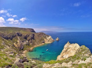
Cavern Point & Potato Harbor Loop
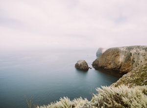
4.99 mi / 545 ft gainTucked away in the Pacific Ocean just 25 miles from the coast, the Channel Islands are one of Southern California’s hidden gems. With towering cliffs and isolated beaches that hug the coast, this place makes you feel worlds away from home. Channel Islands National Park is comprised of five island...Read more -
Ventura, California
Potato Harbor via North Bluff Trail
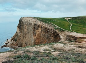
4.49 mi / 463 ft gainThe 4.5-mile North Bluff Trail traverses the colossal cliffs of Santa Cruz Island in Channel Islands National Park from Scorpion Anchorage to Potato Harbor. Arrive via an Island Packers boat to Scorpion Anchorage and, upon disembarking, walk straight ahead. Just past the restrooms (one of only tw...Read more -
Ventura, California
Scorpion Ranch Campground
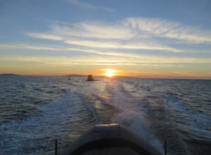
4.00.72 mi / 43 ft gainAccessible only by Ferry, this little-known national park is a backpacker's dream. You can catch the ferry out of Ventura or Santa Barbara, only a short distance from LA. The ride to the island is around 1 hour. We chose to take Island Packers Ferry out of Ventura to Santa Cruz Island. The ferry...Read more -
Ventura, California
Smuggler's Cove
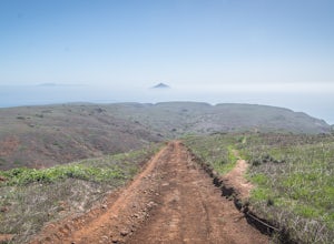
3.57.72 mi / 1342 ft gainSave one stretch of elevation close to the cove itself, this 8-mile, round-trip hike is a leisuring trek across one of the countries most beautiful, though less famous National Parks - the Channel Islands. Smuggler's Cove is located on the Santa Cruz Island, which also happens to be the largest i...Read more -
Ventura, California
Potato Harbor Trail
5.04.34 mi / 404 ft gainAs California’s largest island, Santa Cruz Island of the Channel Islands is the perfect little getaway from Los Angeles. Getting to the island is possible only by a one hour boat ride through Island Packers, click here to find out more about them. Be sure to pack light since you’ll be carrying ev...Read more -
Los Angeles, California
Inspiration Point Loop Trail
2.36 mi / 486 ft gainThe Inspiration Point 2.3 mile loop hike in Will Rogers State Park is a family-friendly hike or after-work run near Los Angeles, California. It’s a great dirt trail for all skill levels and features scenic views and beautifully budding wildflowers. You’ll get to escape the city and take in the br...Read more -
1501 Will Rogers State Park Road, California
Backbone Trail via Will Rogers State Park
5.03.02 mi / 656 ft gainYou'll make your way up Will Rogers State Park Road, located just minutes from Santa Monica, Brentwood, Westwood, Malibu, Palisades, and much of west Los Angeles. Once on the road, head all the way to the top and you'll dead end into the parking lot. Always worth supporting State Parks with the p...Read more -
Los Angeles, California
Murphy's Ranch
4.83.21 mi / 679 ft gainThis three-mile out-and-back hike begins at the beginning of a very nice neighborhood in Santa Monica. You will be trekking on a dirt road for about 1.5 miles until you reach some stairs that will be visible on your left-hand side. You will need to descend down those (what seem to be never-ending...Read more -
Castaic, California
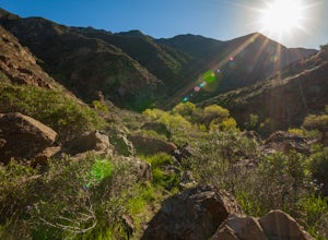
Hiking the Piru Creek Gorge Trail
Take the I-5 exit North of Castaic, CA at Templin Hwy. Turn onto Golden State Hwy heading the only direction it goes from the exit, North. When it dead-ends in a few miles at the National Forest Gate, you are at Frenchman's Flat.You can camp here, or hang with the day hikers. Heading North along ...Read more -
Santa Monica, California
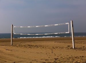
Beach Volleyball at Will Rogers State Beach
5.0At PCH and West Channel there is a tunnel that goes underneath the highway leading you directly onto the beach. In the tunnel take a left up the stairs onto the bike path. Head south 250 feet and you will hit the first set of courts but be aware you will need lines for these courts! If you want c...Read more -
Castaic, California
Paddle Castaic Lake State Recreational Area
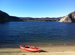
6 miCastaic Lake is a man made reservoir located 41 miles north of downtown Los Angeles, CA in the town of Castaic. Made up of two bodies of water, separated by a 425-foot dam, Upper and Lower Castaic Lakes have a combined 29 miles of shoreline forming the Castaic Lake State Recreational Area. The s...Read more -
Santa Monica, California
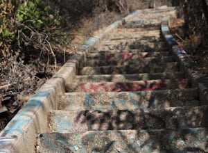
Run the Santa Monica Concrete Stairs
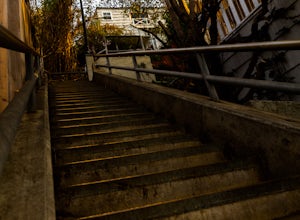
3.00.1 mi / 111 ft gainThe concrete Santa Monica Stairs are a great way to get in some intense leg burning cardio. There are around 170 steps that are wider and easier than the Santa Monica wooden staircase.This place has been a hot spot in the Santa Monica fitness scene for some time so it is also a good place for mee...Read more -
Santa Monica, California
Run the Santa Monica Wooden Stairs
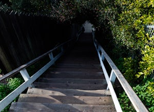
4.0The wooden Santa Monica Stairs are a great way to get in some intense leg burning cardio. There are around 120 steps that are steeper then the Santa Monica Concrete Stairs, which can provide a deep burn on the intended muscles!This place has been a hot spot in the Santa Monica fitness scene for s...Read more -
Maricopa, California
Camp and Boulder at Pine Mountain
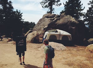
Pine Mountain is closed intermittently for the winter season due to snowfall, usually from November through February. Outside of those months, take the Highway 33 north out of Ojai, heading north for about an hour and a half. You’ll see a large turnout as well as a sign reading “Pine Mt Road” on ...Read more -
Santa Monica, California
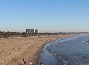
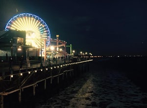
Santa Monica Pier, Boardwalk, and Beach Trail
4.03.33 mi / 20 ft gainThe Santa Monica Pier, Boardwalk, and Beach Trail in Santa Monica, California, offers a unique blend of coastal and urban hiking. The trail is a flat, paved 3.33-mile loop that is suitable for all skill levels. It starts at the Santa Monica Pier, a historic landmark known for its Ferris wheel and...Read more -
Santa Monica, California
Spend a Day at the Santa Monica Pier
4.2*Unlimited photography options with the ferris wheel, beach, ocean, and sunsets *Abundant people watching opportunities *Plenty of ways to get a workout in including swimming, volleyball courts, running, or riding a bike There is a bike and walking path that runs along the coast. One of my favo...Read more

